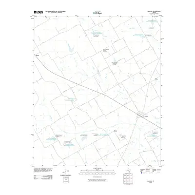
2010 Map of Malone
USGS Topo · Published 2010About this map
Agricultural water management and rural homesteads define this area of Hill County as seen in 2010. The town of Malone serves as the local hub, situated at the intersection of FM 308 and several county roads. To the northwest, the smaller settlement of Bynum sits near the headwaters of Bynum Creek. The landscape is heavily modified by a sophisticated network of water control structures, including the Kempshafer Lake Dam and numerous Soil Conservation Service installations like Soil Conservation Service Site 83 Reservoir and Soil Conservation Service Site 88 Dam.
Find a feature on this map
71 named features on this map. Tap any name to fly to it.
Don’t see what you’re looking for? This feature index may not catch every label — zoom into the map to look around manually.
Map Details
Editions of this 2010 Malone Map
This is the sole edition of this map. No revisions or reprints were ever made.
Other maps of this area
1891 · Cleburne
USGS Topo · 1:125,000
1892 · Waco
USGS Topo · 1:125,000
1894 · Cleburne
USGS Topo · 1:125,000
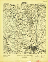
1920 · Waco
USGS Topo · 1:125,000

1954 · Dallas
USGS Topo · 1:250,000

1954 · Waco
USGS Topo · 1:250,000

1955 · Waco
USGS Topo · 1:250,000
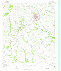
1956 · Hubbard
USGS Topo · 1:24,000
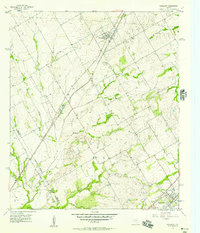
1956 · Penelope
USGS Topo · 1:24,000
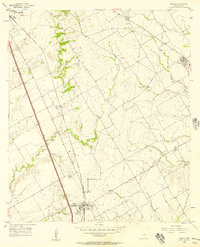
1956 · Abbott
USGS Topo · 1:24,000