Old Maps of Levelland, Texas for Metal Detecting
Plan your next treasure hunt with 16 historic maps of Levelland. Find old homesites, ghost towns, trails, and gathering spots that may be lost to time — perfect for identifying promising metal detecting locations.
- Locate forgotten sites: Uncover places like long-lost settlements, abandoned rail lines, or gathering spots.
- Plan better hunts: Use map overlays combined with LiDAR or satellite views to narrow in on historically rich areas.
- Made for detectorists: Thousands of hobbyists use these maps to discover relics, coins, and hidden history.
Use these historic maps to boost your research and find new opportunities beneath the surface of Levelland.
Levelland, TX maps
(16)- 1954 Map of Brownfield, 1975 Print
 1954 Brownfield1975 Print · USGSThe High Plains of the Texas-New Mexico border are captured here in the mid-twentieth century, as ranching and oil extraction shaped the Llano Estacado. Genealogists and historians can trace small rural centers like Lums Chapel, Hillburn City, and the Friendship Sch amid a landscape of windmills.2 unique versions available
 - 1958 Map of Brownfield
 1958 Brownfield1958 Print · USGSThe High Plains of the Texas-New Mexico border are captured here during a mid-century oil boom. Genealogists and historians can trace old community sites like Lums Chapel and Tokio alongside the vast Levelland and Slaughter Oil and Gas Field.
 - 1962 Map of Brownfield
 1962 Brownfield1962 Print · USGSThe High Plains of Texas and New Mexico are captured in the early sixties as a thriving hub of oil production and ranching. Researchers can trace the industrial footprint of the Levelland and Slaughter Oil and Gas Field or locate smaller towns like Sundown and Littlefield.
 - 1965 Map of Levelland West, 1966 Print
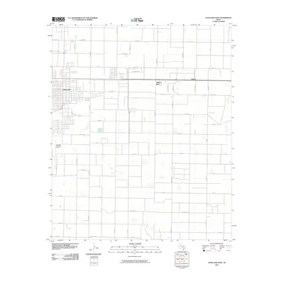
 1965 Levelland West1966 Print · USGSLevelland and the surrounding High Plains are shown here at the height of the mid-century oil boom. Genealogists and historians can trace the town grid out to the Slaughter and Levelland Oil Field, locating the Fairview Ch, Cem, and Houston Hospital.
 - 1965 Map of Levelland East, 1966 Print
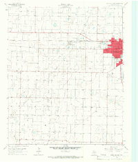
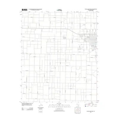
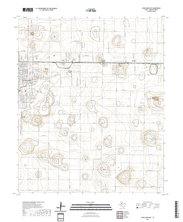
 1965 Levelland East1966 Print · USGSHockley County at the height of the 1960s reveals a thriving hub of education and oil-field activity. Local researchers can trace the early layout of South Plains Jr College and locate vanished landmarks like the Drive-in Theater and Carver Sch.2 unique versions available
 - 1985 Map of Levelland, 1986 Print
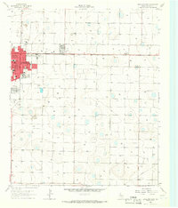
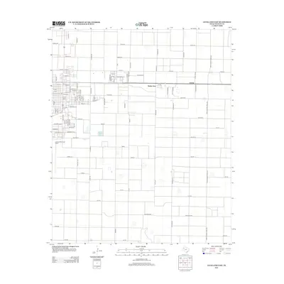
 1985 Levelland1986 Print · USGSThe West Texas High Plains are captured here in the mid-eighties as oil production and agriculture defined the region's economy. Researchers can trace the sprawling Levelland and Slaughter Oil and Gas Field or locate rural landmarks like Lums Chapel and South Plains College.2 unique versions available
 - 2010 Map of Levelland West, 2010 Print
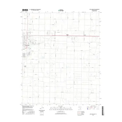
 2010 Levelland West2010 Print · USGSCovers Levelland, including Hockley County, United States, and other nearby areas
 - 2010 Map of Levelland East, 2010 Print
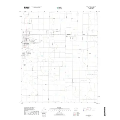
 2010 Levelland East2010 Print · USGSCovers Levelland, including Opdyke West, Opdyke, and other nearby areas
 - 2012 Map of Levelland West, 2012 Print
 2012 Levelland West2012 Print · USGSCovers Levelland, including Hockley County, United States, and other nearby areas
 - 2012 Map of Levelland East, 2012 Print
 2012 Levelland East2012 Print · USGSCovers Levelland, including Opdyke West, Opdyke, and other nearby areas
 - 2016 Map of Levelland West, 2016 Print
 2016 Levelland West2016 Print · USGSCovers Levelland, including Hockley County, United States, and other nearby areas
 - 2016 Map of Levelland East, 2016 Print
 2016 Levelland East2016 Print · USGSCovers Levelland, including Opdyke West, Opdyke, and other nearby areas
 - 2019 Map of Levelland East, 2019 Print
 2019 Levelland East2019 Print · USGSCovers Levelland, including Opdyke West, Opdyke, and other nearby areas
 - 2019 Map of Levelland West, 2019 Print
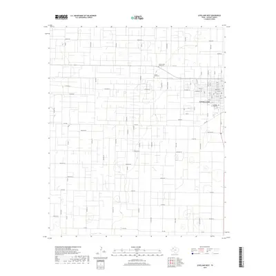 2019 Levelland West2019 Print · USGSCovers Levelland, including Hockley County, United States, and other nearby areas
 - 2022 Map of Levelland East, 2022 Print
 2022 Levelland East2022 Print · USGSHockley County at the start of the 2020s shows a landscape of structured agricultural development and regional education. Researchers can locate South Plains College, the Levelland Municipal Airport, and the smaller residential clusters of Opdyke West and Opdyke.
 - 2022 Map of Levelland West, 2022 Print
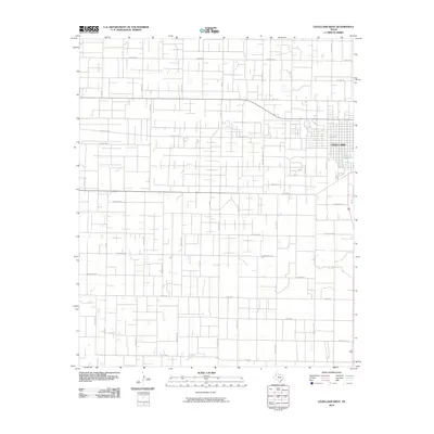
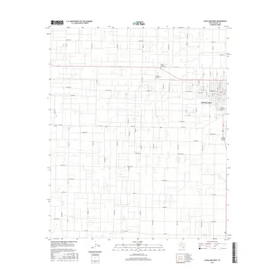
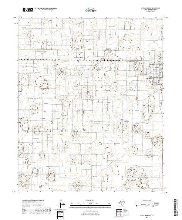 2022 Levelland West2022 Print · USGSThe oil-rich plains of Hockley County come into focus in this contemporary survey of the area surrounding Levelland. Researchers can trace local heritage through the Hockley County Hispanic Cem or follow the legacy of the petroleum industry along Gusher Rd and Drill Stem.
End of results
Showing maps 1-16 of 16
Top cities near Levelland
- Sundown historical maps
- Smyer historical maps
- Ropesville historical maps
- Whitharral historical maps
- Opdyke West historical maps
Frequently asked questions
- What are the different types of historical maps available for Levelland?
- What is the oldest map of Levelland?
- Where can I purchase historical maps of Levelland for my home or office?
- Where can I download high-res historical maps of Levelland?
- Are there historical topographic maps available for Levelland?
- Is there historical aerial imagery available for Levelland?
- Where are historical maps of Levelland sourced from?