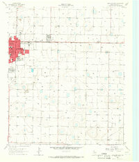
1965 Map of Levelland East
USGS Topo · Published 1966About this map
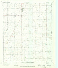
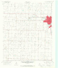
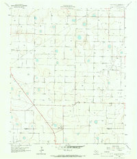
The city of Levelland serves as the focal point of this mid-1960s West Texas landscape, showing a period of significant educational and civic growth. The map documents an extensive academic footprint, featuring the campus of South Plains Jr College, alongside several local institutions like Carver Sch, St Michaels Sch, and Capitol Sch. This concentration of schools and the presence of Lobo Stadium suggest a community heavily invested in its youth and future during the post-war era.
Find a feature on this map
24 named features on this map. Tap any name to fly to it.
Don’t see what you’re looking for? This feature index may not catch every label — zoom into the map to look around manually.
Map Details
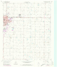
Editions of this 1965 Levelland East Map
2 editions found
Other maps of this area

1954 · Brownfield
USGS Topo · 1:250,000
1957 · Meadow
USGS Topo · 1:62,500
1957 · Wolfforth
USGS Topo · 1:62,500

1958 · Brownfield
USGS Topo · 1:250,000

1962 · Brownfield
USGS Topo · 1:250,000
1964 · Whitharral
USGS Topo · 1:24,000
1965 · Levelland West
USGS Topo · 1:24,000
1965 · Sundown
USGS Topo · 1:24,000
1965 · Hester Ranch
USGS Topo · 1:24,000
1965 · Lockettville
USGS Topo · 1:24,000