2000s (21st Century) Maps of Latexo, Texas
Explore 10 historic maps of Latexo from the 2000s (21st Century). These maps offer a rare glimpse into what life looked like during the 2000s — showing old roads, neighborhoods, homes, and landmarks that have changed or disappeared over time.
Whether you're researching your family's past, planning a metal detecting trip, or studying how Latexo's landscape evolved across the 2000s, these high-resolution maps are a powerful tool for exploring the history of this region.
- Focus on a specific era: All maps on this page are from the 2000s, giving you a focused view of this time period.
- See what’s changed: Compare century-old streets, trails, and buildings to today's modern landscape using overlays and satellite layers.
- Research with precision: Use these maps for genealogy, historical research, land use analysis, or educational projects.
- View, download, or print: Maps are fully viewable online in high resolution, and can be downloaded or printed for your own records.
Start exploring Latexo's history through authentic maps from the 2000s. This is your window into the past.
Latexo, TX maps
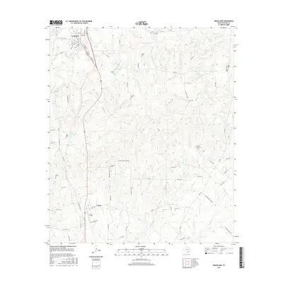
(10)- 2010 Map of Grapeland, 2010 Print
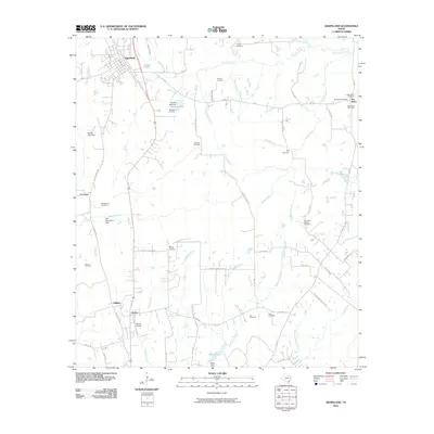 2010 Grapeland2010 Print · USGSCovers Latexo, including Grapeland, Oldham, and other nearby areas
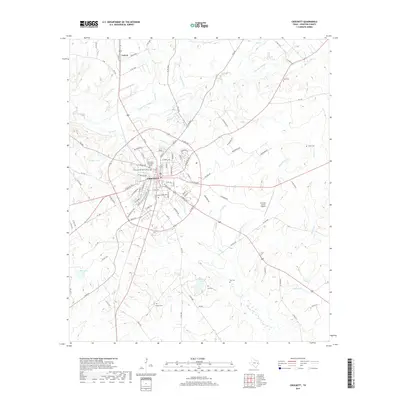
 - 2010 Map of Crockett, 2010 Print
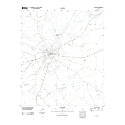 2010 Crockett2010 Print · USGSCovers Latexo, including Crockett, Nottingham Woods, and other nearby areas
 - 2013 Map of Crockett, 2013 Print
 2013 Crockett2013 Print · USGSCovers Latexo, including Crockett, Nottingham Woods, and other nearby areas
 - 2013 Map of Grapeland, 2013 Print
 2013 Grapeland2013 Print · USGSCovers Latexo, including Grapeland, Oldham, and other nearby areas
 - 2016 Map of Grapeland, 2016 Print
 2016 Grapeland2016 Print · USGSCovers Latexo, including Grapeland, Oldham, and other nearby areas
 - 2016 Map of Crockett, 2016 Print
 2016 Crockett2016 Print · USGSCovers Latexo, including Crockett, Nottingham Woods, and other nearby areas
 - 2019 Map of Crockett, 2019 Print
 2019 Crockett2019 Print · USGSCovers Latexo, including Crockett, Nottingham Woods, and other nearby areas
 - 2019 Map of Grapeland, 2019 Print
 2019 Grapeland2019 Print · USGSCovers Latexo, including Grapeland, Oldham, and other nearby areas
 - 2022 Map of Crockett, 2022 Print
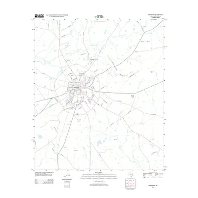
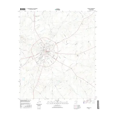
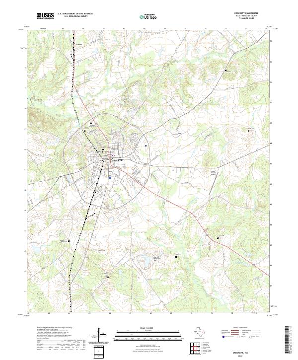 2022 Crockett2022 Print · USGSCrockett and the community of Latexo appear here in the early twenty-first century, centered on the historic Houston County seat. Researchers can trace numerous family-named landmarks and cemeteries like Rhodes - Neal Family Cem and the Cook - Hale - Barbee Cem across this wooded landscape.
 - 2022 Map of Grapeland, 2022 Print
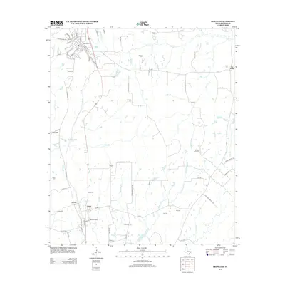
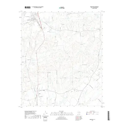
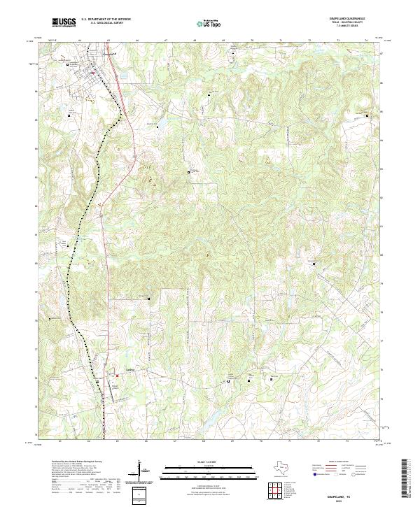 2022 Grapeland2022 Print · USGSHouston County, Texas, shows its deep rural roots in the early 2020s through a landscape of family cemeteries and scattered creek-side settlements. Researchers can trace ancestral locations at the Murdock Cem, Milligan Cem, or the small community of Latexo.
End of results
Showing maps 1-10 of 10
Top cities near Latexo
Frequently asked questions
- What are the different types of historical maps available for Latexo?
- What is the oldest map of Latexo?
- Where can I purchase historical maps of Latexo for my home or office?
- Where can I download high-res historical maps of Latexo?
- Are there historical topographic maps available for Latexo?
- Is there historical aerial imagery available for Latexo?
- Where are historical maps of Latexo sourced from?