2000s (21st Century) Maps of Caddo Mills, Texas
Explore 15 historic maps of Caddo Mills from the 2000s (21st Century). These maps offer a rare glimpse into what life looked like during the 2000s — showing old roads, neighborhoods, homes, and landmarks that have changed or disappeared over time.
Whether you're researching your family's past, planning a metal detecting trip, or studying how Caddo Mills's landscape evolved across the 2000s, these high-resolution maps are a powerful tool for exploring the history of this region.
- Focus on a specific era: All maps on this page are from the 2000s, giving you a focused view of this time period.
- See what’s changed: Compare century-old streets, trails, and buildings to today's modern landscape using overlays and satellite layers.
- Research with precision: Use these maps for genealogy, historical research, land use analysis, or educational projects.
- View, download, or print: Maps are fully viewable online in high resolution, and can be downloaded or printed for your own records.
Start exploring Caddo Mills's history through authentic maps from the 2000s. This is your window into the past.
Caddo Mills, TX maps
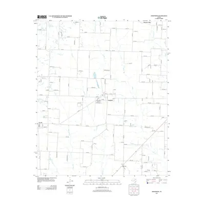
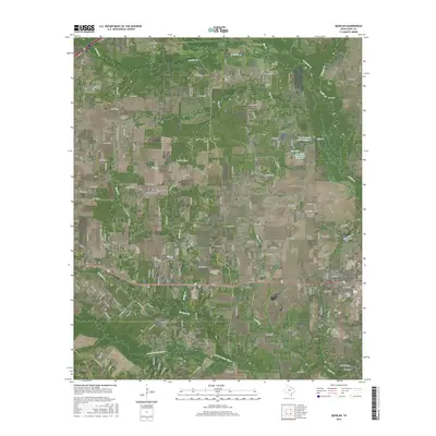
(15)- 2010 Map of Greenville SW, 2010 Print
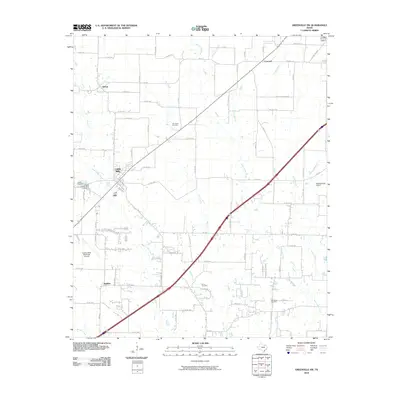 2010 Greenville SW2010 Print · USGSCovers Caddo Mills, including Greenville, Clinton, and other nearby areas
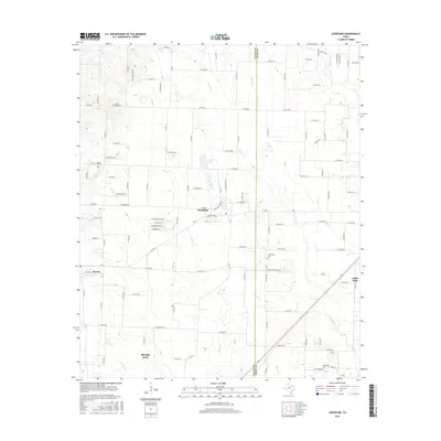
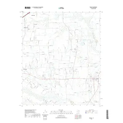
 - 2010 Map of Josephine, 2010 Print
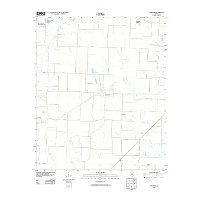 2010 Josephine2010 Print · USGSCovers Caddo Mills, including Royse City, Josephine, and other nearby areas
 - 2010 Map of Quinlan, 2010 Print
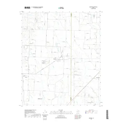
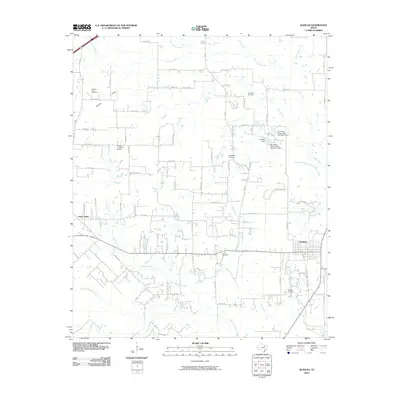 2010 Quinlan2010 Print · USGSCovers Caddo Mills, including Royse City, Quinlan, and other nearby areas
 - 2012 Map of Quinlan, 2012 Print
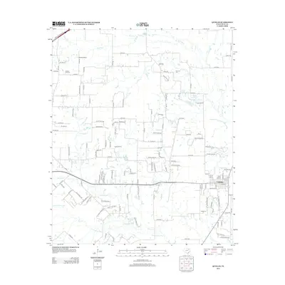 2012 Quinlan2012 Print · USGSCovers Caddo Mills, including Royse City, Quinlan, and other nearby areas
 - 2013 Map of Josephine, 2013 Print
 2013 Josephine2013 Print · USGSCovers Caddo Mills, including Royse City, Josephine, and other nearby areas
 - 2013 Map of Greenville SW, 2013 Print
 2013 Greenville SW2013 Print · USGSCovers Caddo Mills, including Greenville, Clinton, and other nearby areas
 - 2016 Map of Josephine, 2016 Print
 2016 Josephine2016 Print · USGSCovers Caddo Mills, including Royse City, Josephine, and other nearby areas
 - 2016 Map of Greenville SW, 2016 Print
 2016 Greenville SW2016 Print · USGSCovers Caddo Mills, including Greenville, Clinton, and other nearby areas
 - 2016 Map of Quinlan, 2016 Print
 2016 Quinlan2016 Print · USGSCovers Caddo Mills, including Royse City, Quinlan, and other nearby areas
 - 2019 Map of Quinlan, 2019 Print
 2019 Quinlan2019 Print · USGSCovers Caddo Mills, including Royse City, Quinlan, and other nearby areas
 - 2019 Map of Josephine, 2019 Print
 2019 Josephine2019 Print · USGSCovers Caddo Mills, including Royse City, Josephine, and other nearby areas
 - 2019 Map of Greenville SW, 2019 Print
 2019 Greenville SW2019 Print · USGSCovers Caddo Mills, including Greenville, Clinton, and other nearby areas
 - 2022 Map of Greenville SW, 2022 Print
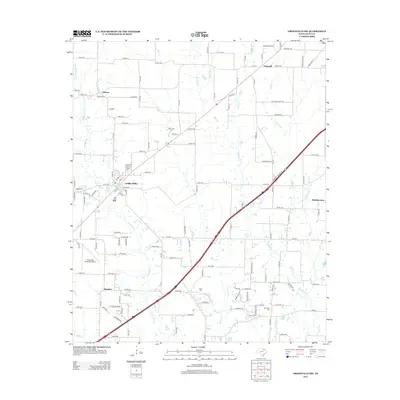
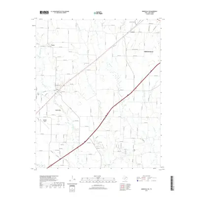
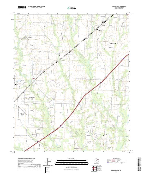 2022 Greenville SW2022 Print · USGSHunt County at the start of the 2020s reveals the continued growth of Greenville and Caddo Mills along the Caddo Creek watershed. Researchers can trace family history across several legacy sites, including Stone Cem, Dugan Cem, and Clinton Cem.
 - 2022 Map of Josephine, 2022 Print
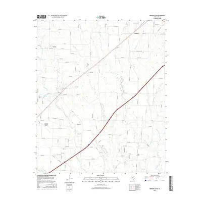
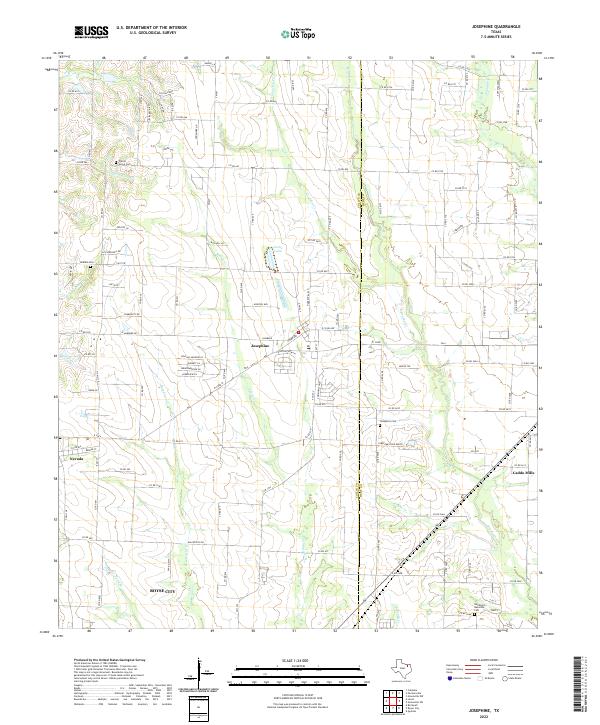 2022 Josephine2022 Print · USGSThe crossroads of Collin and Hunt Counties come into view during this era of rural expansion northeast of Dallas. Researchers can locate several historic burial grounds including Josephine Cem and McMinn Cem, or trace the winding paths of Tom Bean Cr and Bearpen Cr.
 - 2022 Map of Quinlan, 2022 Print
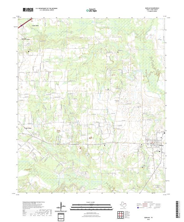 2022 Quinlan2022 Print · USGSHunt County at the start of the 2020s showcases a landscape of enduring rural settlements and intricate Sabine River tributaries. Researchers can locate several family and community burial grounds like Paynetown Cem, Hodges Cem, and Graham Point Cem.
End of results
Showing maps 1-15 of 15
Top cities near Caddo Mills
- Mesquite historical maps
- Rockwall historical maps
- Wylie historical maps
- Greenville historical maps
- Fate historical maps
- Royse City historical maps
See more
Top neighborhoods of Caddo Mills
Frequently asked questions
- What are the different types of historical maps available for Caddo Mills?
- What is the oldest map of Caddo Mills?
- Where can I purchase historical maps of Caddo Mills for my home or office?
- Where can I download high-res historical maps of Caddo Mills?
- Are there historical topographic maps available for Caddo Mills?
- Is there historical aerial imagery available for Caddo Mills?
- Where are historical maps of Caddo Mills sourced from?