Old Maps of Caddo Mills, Texas for Hiking & Exploration
Hike through history with 26 historic maps of Caddo Mills. Explore old trails, ghost towns, and forgotten backroads — perfect for outdoor adventurers and local explorers.
- Rediscover forgotten places: Map out old mining camps, roads, and footpaths that no longer exist on modern maps.
- Layer with modern tools: Combine with LiDAR or satellite views to plan hikes through historical terrain.
- Made for exploration: Popular among hikers, overlanders, and local history lovers.
Use these maps to find adventure and explore the hidden past of Caddo Mills.
Caddo Mills, TX maps
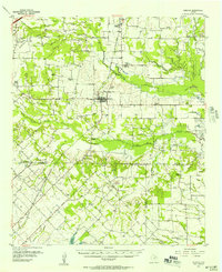
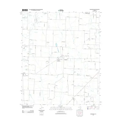
(26)- 1930 Map of Farmersville
 1930 Farmersville1930 Print · USGSSoutheastern Collin County in the early twentieth century shows a landscape of rail-connected towns and rural school districts. Genealogists can locate family landmarks like Stringtown, Cairo Sch, and BUMPASS BRIDGE along the East Fork Trinity River.2 unique versions available
 - 1954 Map of Dallas, 1963 Print
 1954 Dallas1963 Print · USGSNorth Texas in the mid-fifties and early sixties reveals a landscape of rapid urban growth and water management. Genealogists and historians can trace the evolution of the metroplex through landmarks like Hensley Field, Boles Orphan Home, and the Texas & Pacific RR.4 unique versions available
 - 1954 Map of Sherman, 1964 Print
 1954 Sherman1964 Print · USGSThe Red River valley and North Texas plains are captured here in the mid-fifties, showing the region as new reservoirs like Lake Texoma and Lavon Reservoir reshaped the land. Genealogists can trace family roots through specific local landmarks like Courtney P O, Pilot Grove Sch, and New Hope Ch.2 unique versions available
 - 1956 Map of Quinlan, 1957 Print
 1956 Quinlan1957 Print · USGSNortheast Texas at the height of the post-war era is depicted here through its network of small crossroads communities and family farms. Researchers can trace rural lineages through local landmarks like Union Valley Sch, the Boys Home (Orphanage), and the Masonic Cem near Quinlan.3 unique versions available
 - 1958 Map of Dallas
 1958 Dallas1958 Print · USGSNorth Texas in the late fifties shows the dramatic expansion of the Metroplex as it absorbs surrounding farm towns. Genealogists and historians can trace old rail lines like the Missouri-Kansas-Texas and locate early lakefront developments at Eagle Mountain Lake and Lake Worth Village.
 - 1958 Map of Sherman, 1959 Print
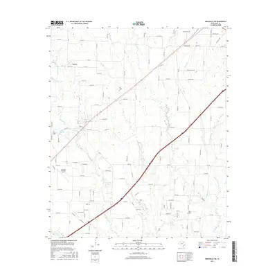
 1958 Sherman1959 Print · USGSNorth Texas and Southern Oklahoma were undergoing significant development in the late fifties as the Red River Valley transit networks matured. Researchers can trace historic family-named locations such as Saddler Bend, the grounds of Perrin AFB, and early shoreline developments at Lake Texoma.
 - 1962 Map of Greenville SW, 1964 Print
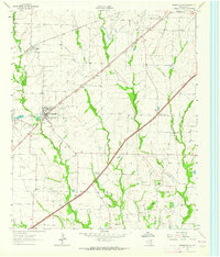 1962 Greenville SW1964 Print · USGSHunt County, Texas, was a landscape of rail-driven towns and small agricultural communities in the early sixties. Genealogists can trace family footprints at the IOOF Cem, Paradise Ch, and the rural crossroads of Clinton or Hendrix.
 - 1963 Map of Josephine, 1965 Print
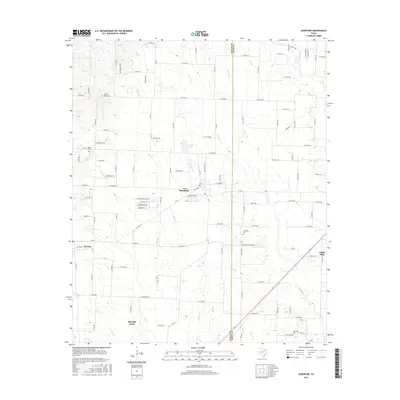
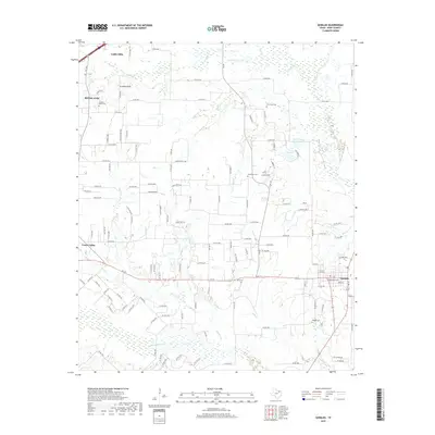
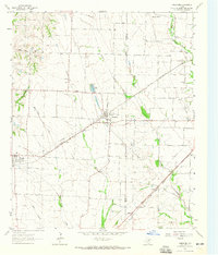 1963 Josephine1965 Print · USGSNortheastern Texas farmland near the Collin and Hunt County line is captured in the early sixties, showing a landscape defined by rail and creek. Trace local family history at the Josephine Cem, Needmore Cem, or the old Community Sch.2 unique versions available
 - 1979 Map of Quinlan
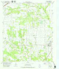 1979 Quinlan1979 Print · USGSHunt County's rural landscape is captured here in the late seventies, showing the transition from old rail corridors to modern community hubs. Genealogists can trace family roots at Paynetown Cem or Hail Cem, and locate the Stringtown Community Center near Quinlan.
 - 1985 Map of McKinney
 1985 McKinney1985 Print · USGSNorth Texas in the mid-1980s was a landscape of rural communities connected by a complex web of railroads and creek systems. Researchers can trace family roots through settlements like Westminster, find local landmarks like Henslee Chapel, or map the industrial activity at various Gravel Pits.2 unique versions available
 - 1986 Map of Dallas
 1986 Dallas1986 Print · USGSThe North Texas metropolitan landscape comes into focus during the mid-eighties as urban growth expands toward the eastern reservoirs. Researchers can trace historic cemeteries like Oak Cliff Cem, rail corridors of the Texas & Pacific RR, and landmarks such as Southern Methodist University.3 unique versions available
 - 2010 Map of Greenville SW, 2010 Print
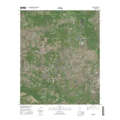
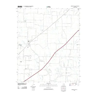 2010 Greenville SW2010 Print · USGSCovers Caddo Mills, including Greenville, Clinton, and other nearby areas
 - 2010 Map of Josephine, 2010 Print
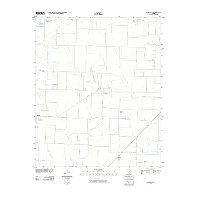 2010 Josephine2010 Print · USGSCovers Caddo Mills, including Royse City, Josephine, and other nearby areas
 - 2010 Map of Quinlan, 2010 Print
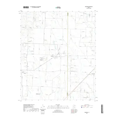
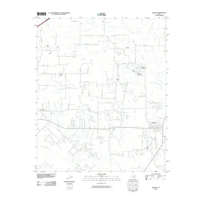 2010 Quinlan2010 Print · USGSCovers Caddo Mills, including Royse City, Quinlan, and other nearby areas
 - 2012 Map of Quinlan, 2012 Print
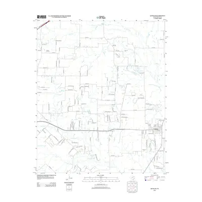 2012 Quinlan2012 Print · USGSCovers Caddo Mills, including Royse City, Quinlan, and other nearby areas
 - 2013 Map of Josephine, 2013 Print
 2013 Josephine2013 Print · USGSCovers Caddo Mills, including Royse City, Josephine, and other nearby areas
 - 2013 Map of Greenville SW, 2013 Print
 2013 Greenville SW2013 Print · USGSCovers Caddo Mills, including Greenville, Clinton, and other nearby areas
 - 2016 Map of Josephine, 2016 Print
 2016 Josephine2016 Print · USGSCovers Caddo Mills, including Royse City, Josephine, and other nearby areas
 - 2016 Map of Greenville SW, 2016 Print
 2016 Greenville SW2016 Print · USGSCovers Caddo Mills, including Greenville, Clinton, and other nearby areas
 - 2016 Map of Quinlan, 2016 Print
 2016 Quinlan2016 Print · USGSCovers Caddo Mills, including Royse City, Quinlan, and other nearby areas
 - 2019 Map of Quinlan, 2019 Print
 2019 Quinlan2019 Print · USGSCovers Caddo Mills, including Royse City, Quinlan, and other nearby areas
 - 2019 Map of Josephine, 2019 Print
 2019 Josephine2019 Print · USGSCovers Caddo Mills, including Royse City, Josephine, and other nearby areas
 - 2019 Map of Greenville SW, 2019 Print
 2019 Greenville SW2019 Print · USGSCovers Caddo Mills, including Greenville, Clinton, and other nearby areas
 - 2022 Map of Greenville SW, 2022 Print
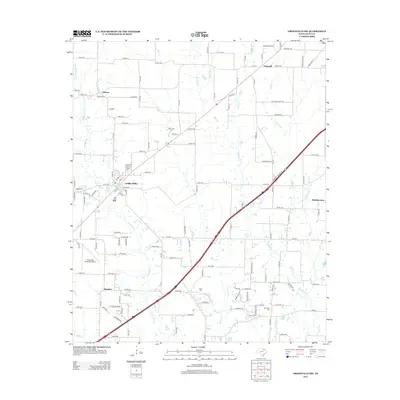
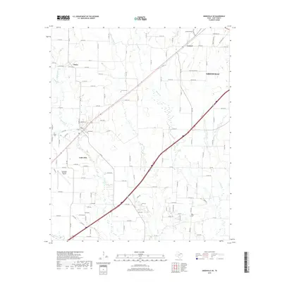
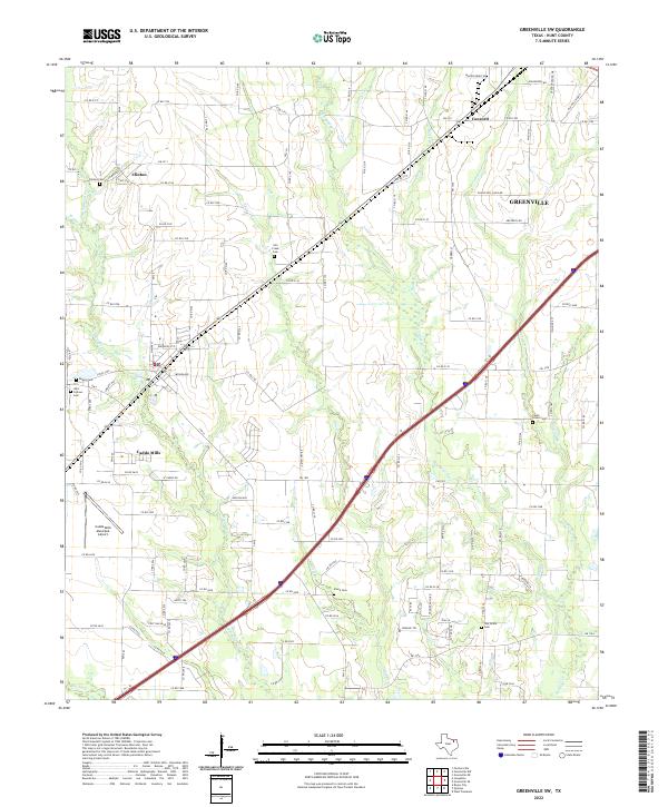 2022 Greenville SW2022 Print · USGSHunt County at the start of the 2020s reveals the continued growth of Greenville and Caddo Mills along the Caddo Creek watershed. Researchers can trace family history across several legacy sites, including Stone Cem, Dugan Cem, and Clinton Cem.
 - 2022 Map of Josephine, 2022 Print
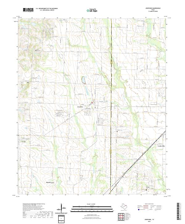 2022 Josephine2022 Print · USGSThe crossroads of Collin and Hunt Counties come into view during this era of rural expansion northeast of Dallas. Researchers can locate several historic burial grounds including Josephine Cem and McMinn Cem, or trace the winding paths of Tom Bean Cr and Bearpen Cr.
Showing maps 1-25 of 26
Top cities near Caddo Mills
- Mesquite historical maps
- Rockwall historical maps
- Wylie historical maps
- Greenville historical maps
- Fate historical maps
- Royse City historical maps
See more
Top neighborhoods of Caddo Mills
Frequently asked questions
- What are the different types of historical maps available for Caddo Mills?
- What is the oldest map of Caddo Mills?
- Where can I purchase historical maps of Caddo Mills for my home or office?
- Where can I download high-res historical maps of Caddo Mills?
- Are there historical topographic maps available for Caddo Mills?
- Is there historical aerial imagery available for Caddo Mills?
- Where are historical maps of Caddo Mills sourced from?