Old Maps of Sabine, Port Arthur for Genealogy
Trace your family roots with 18 historic maps of Sabine. These high-res maps reveal old neighborhoods, homesites, landmarks, and streets — helping you uncover where your ancestors lived and how the area evolved over time.
- Explore historic neighborhoods: Identify where your relatives may have lived in the 1800s or 1900s.
- Compare maps over time: Trace the changes in streets, buildings, and landmarks for multi-generational research.
- Perfect for genealogy & ancestry research: Used by family historians and researchers to map out lineage and migration.
These maps are an incredible resource for exploring your personal connection to Sabine's past.
Sabine, Port Arthur maps
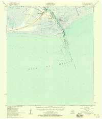
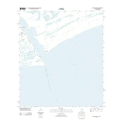
(18)- 1932 Map of Sabine Pass NE
 1932 Sabine Pass NE1932 Print · USGSThe maritime border between Louisiana and Texas is captured here in the early 1930s as a hub of coastal engineering and rail transport. Researchers can trace the industrial shoreline along the Southern Pacific railroad and the historical East Bdy Old Military Reservation.
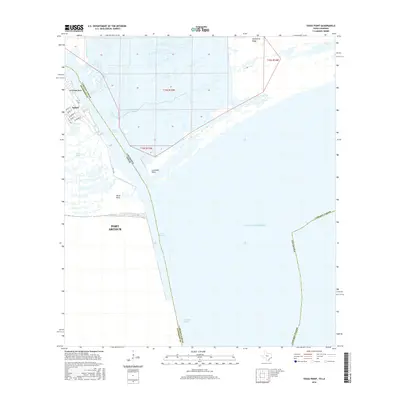
 - 1944 Map of Texas Point
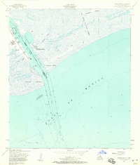
 1944 Texas Point1944 Print · USGSThe maritime borderlands of Jefferson County and Cameron Parish are captured here during the 1940s, showing a landscape defined by gulf commerce and coastal defense. Maritime historians can trace the West Jetty and East Jetty or locate the U S Quarantine Station and Sabine Pass Lighthouse Reservation.
 - 1946 Map of Sabine Pass NE
 1946 Sabine Pass NE1946 Print · USGSThe coastal border of Louisiana and Texas is captured in the mid-1940s as a vital maritime and rail hub. Trace the historical navigation works at Sabine Pass, including the Southern Pacific rail line and the Lighthouse.
 - 1954 Map of Port Arthur
 1954 Port Arthur1954 Print · USGSThe Texas and Louisiana coastlines meet here in the mid-fifties, showing the industrial rise of Port Arthur alongside vast wildlife preserves. Researchers can trace remote coastal settlements and infrastructure like Pecan Island, the Sabine Pass Lighthouse, and the North Island School.
 - 1956 Map of Port Arthur, 1965 Print
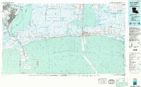
 1956 Port Arthur1965 Print · USGSThe Texas and Louisiana coastlines meet here in the mid-fifties, showing a landscape of sprawling marshes and growing refinery towns. Genealogists and historians can trace ridge settlements like Grand Cheniere or find the Sabine Pass Lighthouse and Pecan Island.3 unique versions available
 - 1957 Map of Sabine Pass
 1957 Sabine Pass1957 Print · USGSThe Texas and Louisiana borderlands meet at the Gulf in the late fifties, where maritime activity and coastal marsh define the terrain. Genealogists and historians can trace the Old Railroad Grade, locate the Pace Cem, and find the Lighthouse (Abandoned) on the Sabine shoreline.2 unique versions available
 - 1957 Map of Texas Point, 1958 Print
 1957 Texas Point1958 Print · USGSThe Texas-Louisiana borderlands come alive in the late fifties at the mouth of the Sabine Pass Channel. Maritime researchers can trace the coastal defenses and navigation aids of the era, from the U.S. Coast Guard Sta to the Lighthouse (Abandoned) and Pilot Station.3 unique versions available
 - 1958 Map of Port Arthur
 1958 Port Arthur1958 Print · USGSThe Texas and Louisiana coastlines meet in the late fifties at the busy industrial port of Port Arthur. Historians and genealogists can trace the early rail networks of the Southern Pacific and locate coastal settlements like Cameron, Pecan Island, and Abbeville.
 - 1959 Map of Port Arthur
 1959 Port Arthur1959 Print · USGSThe Texas and Louisiana coastlines meet in this late-fifties study of a landscape defined by industry and wildlife preserves. Trace the Intracoastal Waterway past Pecan Island and Abbeville, or locate the shipping channels at Sabine Pass.
 - 1973 Map of Port Arthur, 1974 Print
 1973 Port Arthur1974 Print · USGSThe Texas-Louisiana borderlands in the early seventies reveal an intricate landscape of coastal marshes and heavy industry. Trace the growth of Port Arthur, the extent of the oil and gas fields, and old ridge settlements like Pecan Island.
 - 1983 Map of Port Arthur
 1983 Port Arthur1983 Print · USGSThe Texas and Louisiana coastline comes into sharp focus during the early 1980s, showcasing the industrial hubs of the Gulf. Trace the development of Port Arthur and Port Neches or locate specific facilities like St Gabriel Hospital and the West Hackberry Oil Field.
 - 1993 Map of Texas Point
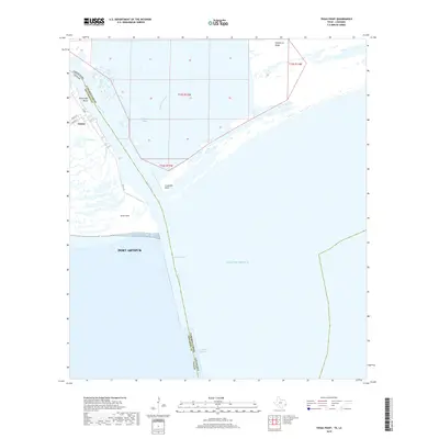
 1993 Texas Point1993 Print · USGSThe Texas and Louisiana coastline meets the Gulf in the early 1990s, centering on the vital maritime corridor of Sabine Pass. Researchers can trace harbor infrastructure and coastal conservation lands like Sabine Pass Battleground State Historical Park and the U S Coast Guard Station.
 - 2010 Map of Texas Point, 2010 Print
 2010 Texas Point2010 Print · USGSCovers Sabine, including Port Arthur, Jefferson County, and other nearby areas
 - 2013 Map of Texas Point, 2013 Print
 2013 Texas Point2013 Print · USGSCovers Sabine, including Port Arthur, Jefferson County, and other nearby areas
 - 2016 Map of Texas Point, 2016 Print
 2016 Texas Point2016 Print · USGSCovers Sabine, including Port Arthur, Jefferson County, and other nearby areas
 - 2019 Map of Texas Point, 2019 Print
 2019 Texas Point2019 Print · USGSCovers Sabine, including Port Arthur, Jefferson County, and other nearby areas
 - 2022 Map of Texas Point, 2022 Print
 2022 Texas Point2022 Print · USGSCovers Sabine, including Port Arthur, Jefferson County, and other nearby areas
 - 2025 Map of Texas Point, 2025 Print
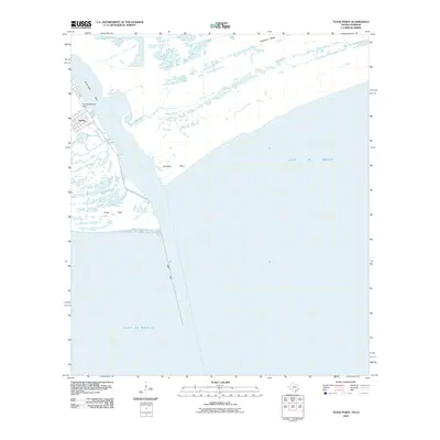
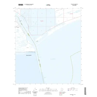
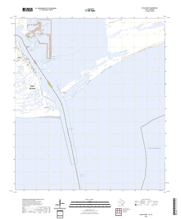 2025 Texas Point2025 Print · USGSThe maritime boundary of Texas and Louisiana is charted here in the early twenty-first century as it meets the sea. Coastal researchers can trace the deep-water Jetty Channel past Sabine and the tidal reaches of Lighthouse Bayou and Texas Point.
End of results
Showing maps 1-18 of 18
Top cities near Sabine
Frequently asked questions
- What are the different types of historical maps available for Sabine?
- What is the oldest map of Sabine?
- Where can I purchase historical maps of Sabine for my home or office?
- Where can I download high-res historical maps of Sabine?
- Are there historical topographic maps available for Sabine?
- Is there historical aerial imagery available for Sabine?
- Where are historical maps of Sabine sourced from?