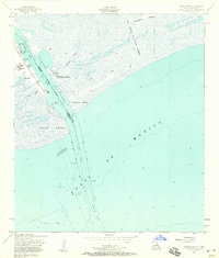
1957 Map of Texas Point
USGS Topo · Published 1958About this map
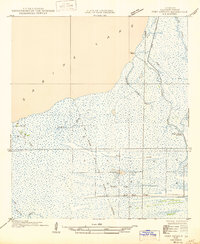
The maritime border between Texas and Louisiana is defined here by the Sabine Pass Channel, a critical waterway connecting the Gulf of Mexico to interior ports. This mid-century survey captures the industrial and navigational infrastructure required to maintain this passage, including the Outer Bar Channel and the Anchorage Basin. On the Texas side, the small settlement of Sabine sits behind a protective Levee, flanked by a U.S. Coast Guard Sta and a Radio Tower.
Find a feature on this map
24 named features on this map. Tap any name to fly to it.
Don’t see what you’re looking for? This feature index may not catch every label — zoom into the map to look around manually.
Map Details
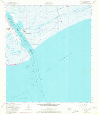
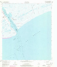
Editions of this 1957 Texas Point Map
3 editions found
Other maps of this area

1932 · Sabine Pass NE
USGS Topo · 1:31,680

1934 · Johnsons Bayou
USGS Topo · 1:24,000

1935 · Johnsons Bayou
USGS Topo · 1:31,680

1943 · West of Johnson Bayou
USGS Topo · 1:24,000

1943 · Port Arthur South
USGS Topo · 1:24,000

1944 · Sabine Pass
USGS Topo · 1:31,680

1944 · Texas Point
USGS Topo · 1:31,680
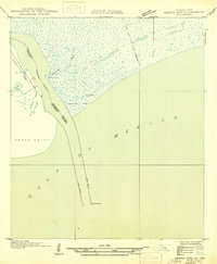
1946 · Sabine Pass NE
USGS Topo · 1:31,680
1946 · Port Arthur SE
USGS Topo · 1:31,680

1954 · Port Arthur
USGS Topo · 1:250,000