
1944 Map of Texas Point
USGS Topo · Published 1944About this map
The Sabine Pass Lighthouse Reservation and Coast Guard Station anchor this strategic coastal landscape where the Texas and Louisiana border meets the Gulf of Mexico. Surveyed during the height of the Second World War by the Tennessee Valley Authority for the War Department, the map captures the critical infrastructure surrounding the entrance to the ship channel at Sabine. The maritime significance of the area is emphasized by the U S Quarantine Station and the long protective fingers of the West Jetty and East Jetty extending into the gulf. Inland, the marshy terrain is defined by natural features like Hackberry Ridge and Mud Lake, while Dick Dowling State Park stands on the Texas side as a landmark of local history. This survey provides a precise record of the shoreline and maritime facilities at Louisiana Point and Texas Point before mid-century coastal changes.
Find a feature on this map
16 named features on this map. Tap any name to fly to it.
Don’t see what you’re looking for? This feature index may not catch every label — zoom into the map to look around manually.
Map Details
Editions of this 1944 Texas Point Map
This is the sole edition of this map. No revisions or reprints were ever made.
Other maps of this area

1932 · Sabine Pass NE
USGS Topo · 1:31,680

1934 · Johnsons Bayou
USGS Topo · 1:24,000

1935 · Johnsons Bayou
USGS Topo · 1:31,680

1943 · West of Johnson Bayou
USGS Topo · 1:24,000

1943 · Port Arthur South
USGS Topo · 1:24,000

1944 · Sabine Pass
USGS Topo · 1:31,680
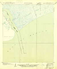
1946 · Sabine Pass NE
USGS Topo · 1:31,680
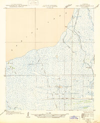
1946 · Port Arthur SE
USGS Topo · 1:31,680

1954 · Port Arthur
USGS Topo · 1:250,000
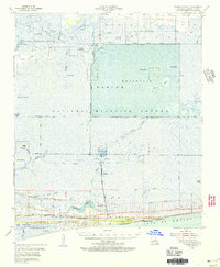
1955 · Johnsons Bayou
USGS Topo · 1:62,500