2010s Maps of Jones County, Texas
Explore 96 historic maps of Jones County from the 2010s. These maps offer a rare glimpse into what life looked like during the 2010s — showing old roads, neighborhoods, homes, and landmarks that have changed or disappeared over time.
Whether you're researching your family's past, planning a metal detecting trip, or studying how Jones County's landscape evolved across the 2010s, these high-resolution maps are a powerful tool for exploring the history of this region.
- Focus on a specific era: All maps on this page are from the 2010s, giving you a focused view of this time period.
- See what’s changed: Compare century-old streets, trails, and buildings to today's modern landscape using overlays and satellite layers.
- Research with precision: Use these maps for genealogy, historical research, land use analysis, or educational projects.
- View, download, or print: Maps are fully viewable online in high resolution, and can be downloaded or printed for your own records.
Start exploring Jones County's history through authentic maps from the 2010s. This is your window into the past.
Jones County, TX maps
(96)- 2010 Map of Hamlin NW, 2010 Print
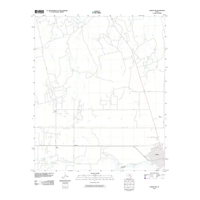 2010 Hamlin NW2010 Print · USGSNorthwest of Hamlin in the early twenty-first century, this Jones County landscape shows a rural Texas transition from town grids to river basins. Researchers can trace local history through markers like Afton Cemetery, the settlement at Hitson, and the waters of California Creek.
 - 2010 Map of McCaulley, 2010 Print
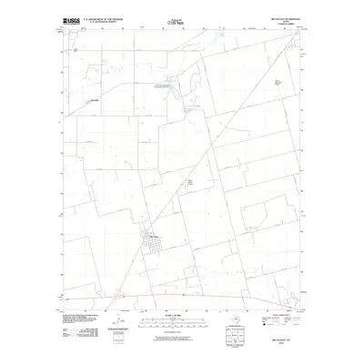 2010 McCaulley2010 Print · USGSThe rural landscape around McCaulley is captured here in the early twenty-first century, featuring a well-defined network of ranch roads and local industry. Researchers can trace land tracts near Peter Hill or locate industrial sites like Plasterco Lake and the Celotex works.
 - 2010 Map of Noodle, 2010 Print
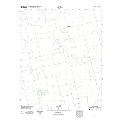 2010 Noodle2010 Print · USGSNoodle and the surrounding Jones County plains are captured here in the early twenty-first century as a landscape of ranching and oil extraction. Genealogists and historians can trace local landmarks like the Noodle Oil Field, Sweetwater Creek, and the Ball Kuehn Oil Field.
 - 2010 Map of Raven Creek North, 2010 Print
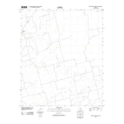 2010 Raven Creek North2010 Print · USGSJones County ranch lands and the winding Clear Fork are documented in this late-aughts survey. Genealogists and local historians can trace the rural grid around Sylvester and follow the natural drainage of China Creek and Raven Creek.
 - 2010 Map of Hamlin NE, 2010 Print
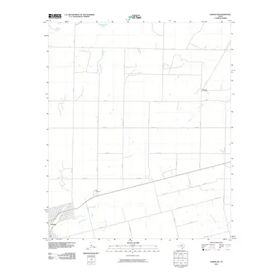 2010 Hamlin NE2010 Print · USGSHamlin and the surrounding West Texas plains are shown in detail during the early 2000s, revealing a landscape of large-scale agriculture and rural settlements. Genealogists and local historians can locate East Cemetery and trace the paths of California Creek and Paint Creek.
 - 2010 Map of Noodle NE, 2010 Print
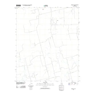 2010 Noodle NE2010 Print · USGSJones County ranchlands and energy production sites are captured here in the early 21st century. Researchers can trace the drainage of the Clear Fork and locate industrial landmarks like the Bartlett Oil Field and Farnsworth Oil Field.
 - 2010 Map of Neinda, 2010 Print
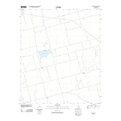 2010 Neinda2010 Print · USGSThe Jones County plains come into focus in this late-career survey, showing a rural landscape defined by ranching and agriculture. Researchers can trace local landmarks like Boyds Chapel and the small settlement of Neinda, or follow the banks of Skinout Creek.
 - 2010 Map of Raven Creek South, 2010 Print
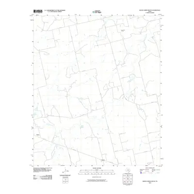 2010 Raven Creek South2010 Print · USGSFisher County ranching and energy production are in focus during the early 2000s in this West Texas survey. Local researchers can trace the roads around Eskota or locate industrial landmarks like the Raven Creek Oil Field and the White Flat Gas Plant.
 - 2010 Map of Stith, 2010 Print
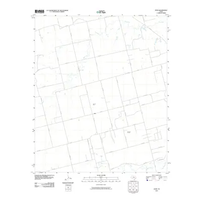 2010 Stith2010 Print · USGSJones County during the first decade of the new millennium is defined by its petroleum history and sparse rural settlement. Researchers can trace the layout of the Stith Oil Field and Wimberly Oil Field or locate properties near Bitter Creek and Stith.
 - 2010 Map of Tuxedo, 2010 Print
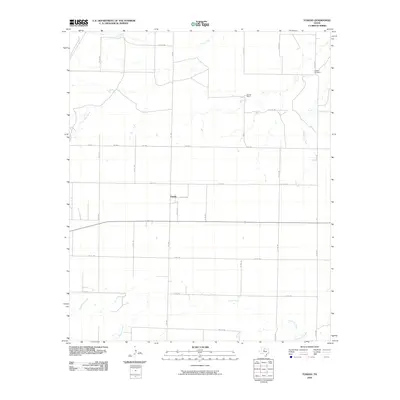 2010 Tuxedo2010 Print · USGSTuxedo and the North Texas prairie are captured here in the early twenty-first century, showcasing a landscape of section lines and seasonal creeks. Researchers can locate the Capron Cemetery and trace the drainage of Paint Creek near sites like Flat Top Ranch.
 - 2010 Map of Lueders NW, 2010 Print
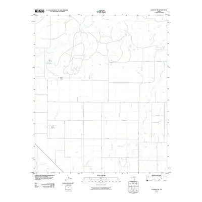 2010 Lueders NW2010 Print · USGSNorth of Lueders in the early twenty-first century, this landscape shows a structured network of rural ranch roads and creek beds. Researchers can locate the Pleasant Valley Cemetery and trace water features like Bettis Lake and Flag Branch.
 - 2010 Map of Lueders West, 2010 Print
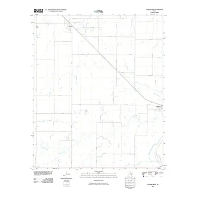 2010 Lueders West2010 Print · USGSJones County at the turn of the decade reveals a landscape of ranch roads and winding waterways. Researchers can trace family history near Spring Creek Cemetery or follow the path of the Clear Fork Brazos River as it passes near Lueders.
 - 2010 Map of Stamford, 2010 Print
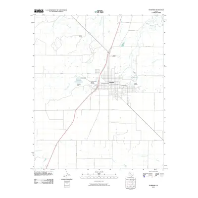 2010 Stamford2010 Print · USGSStamford at the turn of the decade preserves its identity as a regional hub for the Texas cattle industry. Genealogists and historians can locate Stamford Cemetery, the Texas Cowboy Reunion Grounds, and the waterways of California Creek and Red Lake.
 - 2010 Map of Flattop, 2010 Print
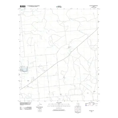 2010 Flattop2010 Print · USGSThe ranchlands northeast of Abilene appear here in the early 2000s, defined by large estates and oil extraction. Genealogists and local historians can locate the Hamby Cemetery, the settlement of Flattop, and the operations at Morrisett Oil Field.
 - 2010 Map of Lueders East, 2010 Print
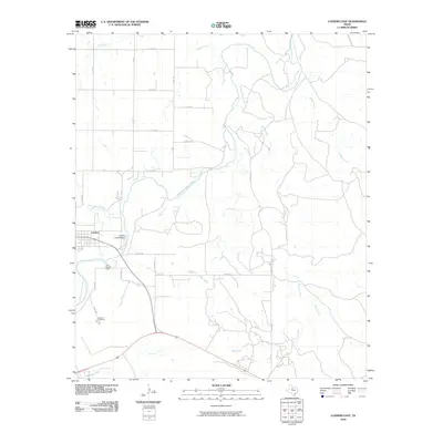 2010 Lueders East2010 Print · USGSJones County at the turn of the decade is defined here by the winding Clear Fork Brazos River and the quiet community of Lueders. Genealogists and local historians can trace family sites near the Lueders Cemetery or follow the paths of Hog Creek and Bluff Creek.
 - 2010 Map of Nugent, 2010 Print
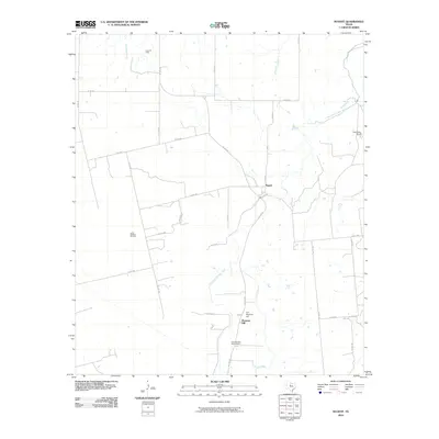 2010 Nugent2010 Print · USGSJones County at the turn of the decade is captured here as a landscape of historic outposts and active oil production. Genealogists and researchers can trace the vicinity of Fort Phantom Hill and the Fort Phantom Hill Cemetery, or locate specific properties like the Alexander Ranch.
 - 2010 Map of Hawley, 2010 Print
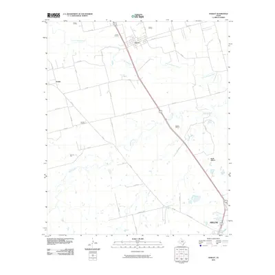 2010 Hawley2010 Print · USGSTaylor County at the start of the decade shows a landscape where industrial energy production meets rural ranching north of the city. Genealogists and historians can locate family landmarks such as Hawley Cemetery, Mid Way Cemetery, and the Cosden Refinery.
 - 2010 Map of Lueders NE, 2010 Print
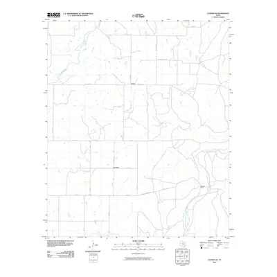 2010 Lueders NE2010 Print · USGSShackelford County ranching country is mapped here in 2010, showing the sprawling rural landscape near the Clear Fork Brazos River. Researchers can locate the Rockdale Cemetery and trace family-named landmarks like Berryhill and the Hendrick Ranch.
 - 2010 Map of Hawley NE, 2010 Print
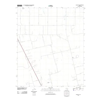 2010 Hawley NE2010 Print · USGSJones County at the turn of the decade reflects a quiet landscape of West Texas ranching and petroleum production. Genealogists and historians can locate legacy burial sites at Mount Hope Cemetery and trace industrial activity at the Hatchett Oil Field.
 - 2010 Map of Funston, 2010 Print
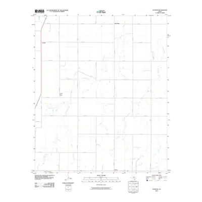 2010 Funston2010 Print · USGSFunston and the rural expanses of Jones County are captured here at the start of the decade, showing a landscape defined by ranching and creek systems. Researchers can locate Mount Hope Cemetery or trace the winding paths of Redmud Creek and Spring Creek through the area.
 - 2010 Map of Smoky Draw, 2010 Print
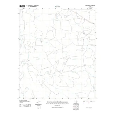 2010 Smoky Draw2010 Print · USGSTexas ranching country and oil production come into focus in this late-aughts survey of Jones County. Researchers can trace landholdings like Ackers Ranch and Buck Nail Ranch or locate the historic Rising Sun Cemetery and the Matilda Perkins Oil Field.
 - 2010 Map of Truby, 2010 Print
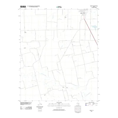 2010 Truby2010 Print · USGSJones County at the start of the decade shows a landscape defined by the energy industry and the winding Clear Fork Brazos River. Researchers can trace local lineage at the Truby Cemetery or locate old drilling sites such as the Bullard Oil Field and Amy Sears Oil Field.
 - 2010 Map of Anson, 2010 Print
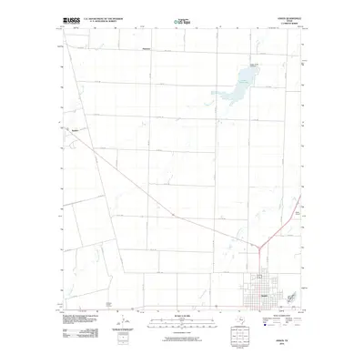 2010 Anson2010 Print · USGSJones County remains a landscape of organized rural grids and winding creek beds in the early 2000s. Researchers can locate the Anderson Chapel Cemetery, the settlement of Radium, and aviation history at Steen Airport.
 - 2010 Map of Hamby, 2010 Print
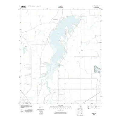 2010 Hamby2010 Print · USGSTaylor County settlement at the turn of the decade centers on the expansive waters of Lake Fort Phantom Hill and the surrounding prairie communities. Genealogists and local historians can trace family locations near the Round Mound Cemetery or explore the small hubs of Hamby and Impact.
 - 2012 Map of Hawley NE, 2012 Print
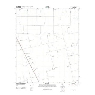 2012 Hawley NE2012 Print · USGSJones County at the start of the decade shows a landscape shaped by petroleum and deep-rooted local history. Researchers can locate the Hatchett Oil Field and three distinct rural burial sites, including Mt Hope Cem and Central Cem.
Showing maps 1-25 of 96
Top cities of Jones County
Frequently asked questions
- What are the different types of historical maps available for Jones County?
- What is the oldest map of Jones County?
- Where can I purchase historical maps of Jones County for my home or office?
- Where can I download high-res historical maps of Jones County?
- Are there historical topographic maps available for Jones County?
- Is there historical aerial imagery available for Jones County?
- Where are historical maps of Jones County sourced from?