2020s Maps of Jones County, Texas
Explore 24 historic maps of Jones County from the 2020s. These maps offer a rare glimpse into what life looked like during the 2020s — showing old roads, neighborhoods, homes, and landmarks that have changed or disappeared over time.
Whether you're researching your family's past, planning a metal detecting trip, or studying how Jones County's landscape evolved across the 2020s, these high-resolution maps are a powerful tool for exploring the history of this region.
- Focus on a specific era: All maps on this page are from the 2020s, giving you a focused view of this time period.
- See what’s changed: Compare century-old streets, trails, and buildings to today's modern landscape using overlays and satellite layers.
- Research with precision: Use these maps for genealogy, historical research, land use analysis, or educational projects.
- View, download, or print: Maps are fully viewable online in high resolution, and can be downloaded or printed for your own records.
Start exploring Jones County's history through authentic maps from the 2020s. This is your window into the past.
Jones County, TX maps
(24)- 2022 Map of Stith, 2022 Print
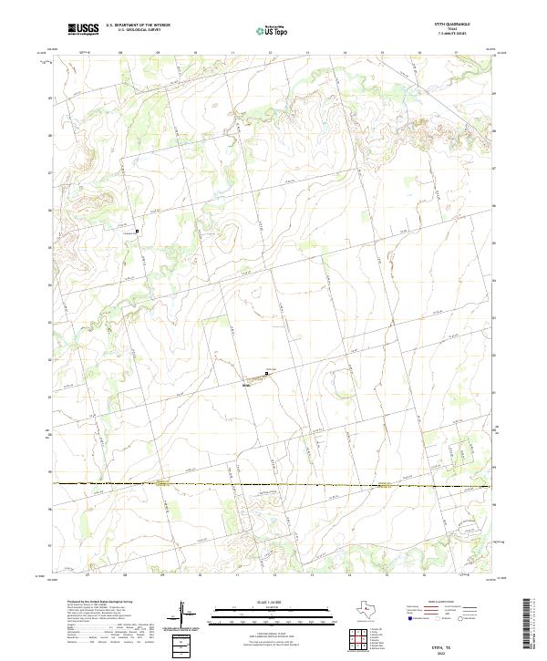 2022 Stith2022 Print · USGSStith and the surrounding ranchlands near the Jones and Taylor County line are shown here in modern detail. Researchers can locate family sites and landmarks like Stith Cem, Compere Cem, and the winding course of Bitter Cr.
 - 2022 Map of Tuxedo, 2022 Print
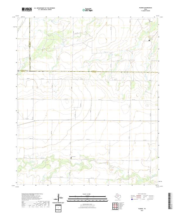 2022 Tuxedo2022 Print · USGSJones and Haskell counties are depicted here in the early twenty-first century, showcasing a rural landscape defined by prairie creeks and a vast grid of county roads. Genealogists can locate family landmarks like Fairview Cemetery and Capron Cemetery along the banks of California Creek.
 - 2022 Map of Flattop, 2022 Print
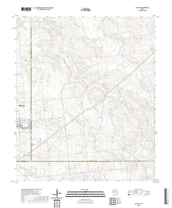 2022 Flattop2022 Print · USGSThe ranch lands northeast of Abilene are captured here in the early twenty-first century, spanning the junction of Jones, Shackelford, and Callahan counties. Local history researchers can trace family-named county roads and find specific sites like Hamby Cemetery and Portlock Airfield.
 - 2022 Map of Hawley NE, 2022 Print
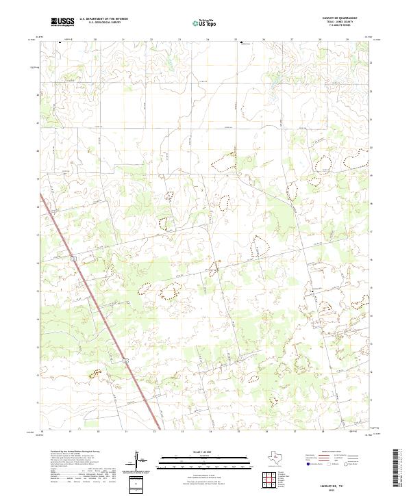 2022 Hawley NE2022 Print · USGSNorth of Abilene in the early 2020s, this portion of Jones County maintains its character as a region of open ranchland and quiet country crossroads. Genealogists and local historians can locate rural burial sites such as Bethel Cem and Central Cem along the drainage of Cottonwood Cr.
 - 2022 Map of Smoky Draw, 2022 Print
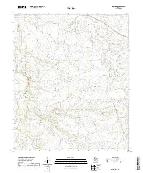 2022 Smoky Draw2022 Print · USGSShackelford and Jones counties are shown here in the early twenty-first century, revealing a landscape of expansive ranchlands and seasonal creek systems. Genealogists and local historians can trace the Rising Sun Cem or follow the paths of Buck Nail Ranch Rd and Smoky Draw.
 - 2022 Map of Anson, 2022 Print
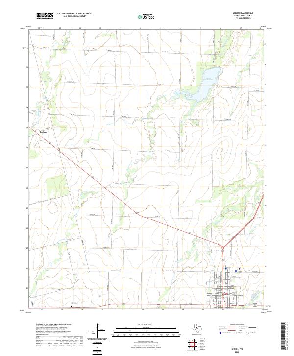 2022 Anson2022 Print · USGSThe Jones County seat comes into focus during the early 2020s, showing the intersection of rural transit and civic life. Local researchers can locate the Jones County Courthouse, the Anderson Chapel Cem, and the waters of Anson North Lake.
 - 2022 Map of Funston, 2022 Print
 2022 Funston2022 Print · USGSJones County rangeland and rural crossroads are captured here in the early twenty-first century. Researchers can trace family ties and settlement patterns through the location of New Hope Cem, Mount Hope Cem, and the quiet hub of Funston.
 - 2022 Map of Nugent, 2022 Print
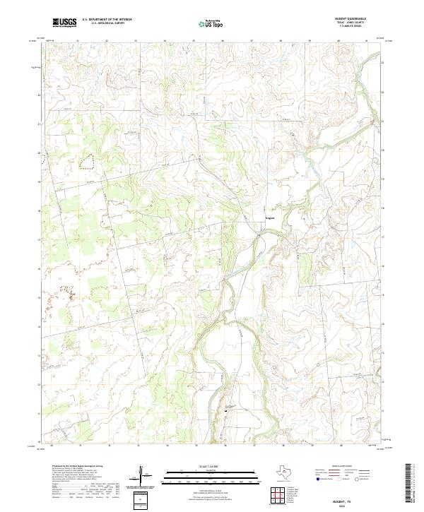 2022 Nugent2022 Print · USGSJones County ranch lands and river breaks are documented here in the early twenty-first century. Genealogists and local historians can trace family locations near Fort Phantom Hill Cem and the settlement of Nugent along the Clear Fork Brazos River.
 - 2022 Map of Truby, 2022 Print
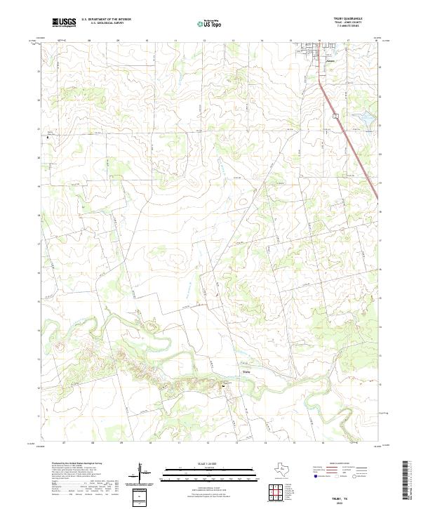 2022 Truby2022 Print · USGSJones County ranchlands and river bends are captured here in the early twenty-first century. Genealogists and local historians can trace family land ties near the Clear Fork Brazos River, Truby Cem, and the rural community of Truby.
 - 2022 Map of Lueders NW, 2022 Print
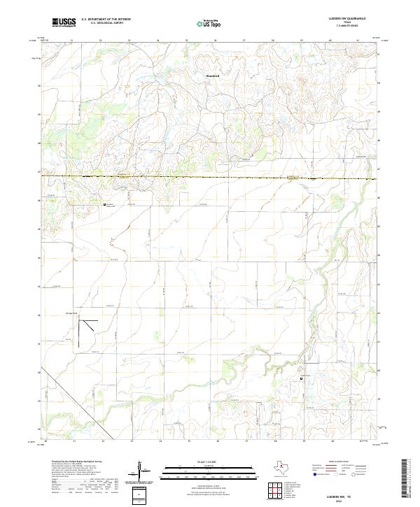 2022 Lueders NW2022 Print · USGSThe rural expanse where Haskell and Jones Counties meet is captured here in the early twenty-first century. Researchers can trace family history at Pleasant Valley Cem and Bethel Cem or follow the waters of California Cr.
 - 2022 Map of Lueders East, 2022 Print
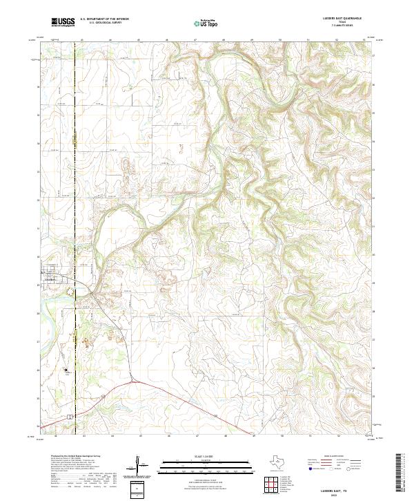 2022 Lueders East2022 Print · USGSThe rolling ranchlands of Shackelford and Jones Counties are defined here by the winding Clear Fork Brazos River. Genealogists can locate family sites near Lueders and the Lueders Cem or trace drainages like Chimney Cr.
 - 2022 Map of Lueders NE, 2022 Print
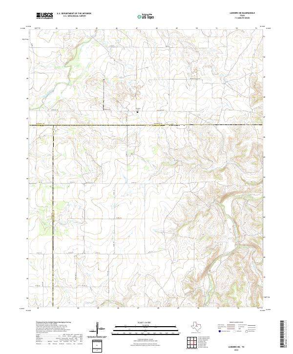 2022 Lueders NE2022 Print · USGSIn the rangelands of North Texas, this modern survey documents the intersection of Jones, Haskell, and Shackelford counties. Researchers can trace land boundaries along the Clear Fork Brazos River or locate the historic Rockdale Cem.
 - 2022 Map of Lueders West, 2022 Print
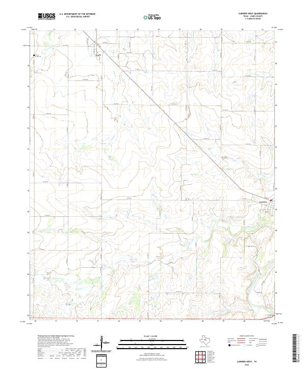 2022 Lueders West2022 Print · USGSIn the open ranch lands of Jones County, this modern survey tracks the enduring rural networks of the Texas plains. Genealogists and local historians can trace family locations near Avoca and Lueders, or locate the Spring Creek Cem along the banks of Spring Cr.
 - 2022 Map of Stamford, 2022 Print
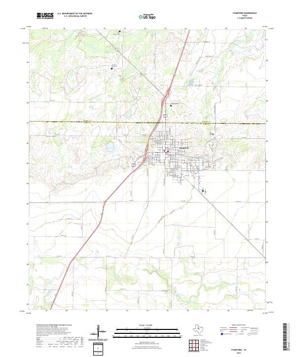 2022 Stamford2022 Print · USGSStamford and the surrounding West Texas plains are captured here in the early 2020s where the Haskell and Jones county lines meet. Family historians can locate family plots at Highland Cem or trace the winding paths of Turkey Paint Cr and California Cr.
 - 2022 Map of Hamby, 2022 Print
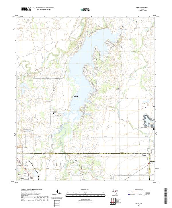 2022 Hamby2022 Print · USGSNorthern Jones County and the Abilene fringe are shown here in the 2020s, centered on the waters of Lake Fort Phantom Hill. Researchers can locate Round Mound Cem, the Texas State Veteran's Cem at Abilene, and the small community of Hamby.
 - 2022 Map of Hawley, 2022 Print
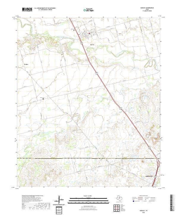 2022 Hawley2022 Print · USGSJones and Taylor counties are captured in the early 2020s, showing the rural transitions between Hawley and the outskirts of Abilene. Genealogists can trace local burials at Hawley Cem and Midway Cem along the Clear Fork Brazos River.
 - 2022 Map of Neinda, 2022 Print
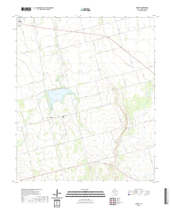 2022 Neinda2022 Print · USGSJones County at the turn of the decade reveals a landscape shaped by rural ranching and creek drainages. Researchers can locate family sites near Neinda and Neinda Cem, or trace the path of California Cr toward South Lake.
 - 2022 Map of Raven Creek North, 2022 Print
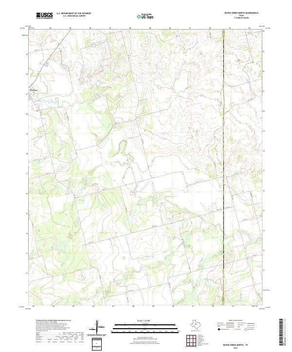 2022 Raven Creek North2022 Print · USGSModern ranching life and early 21st-century rural infrastructure define this West Texas landscape along the Fisher and Jones county line. Researchers can trace the winding Clear Fork Brazos River and its many tributaries, including China Cr and Raven Cr, near the settlement of Sylvester.
 - 2022 Map of Hamlin NE, 2022 Print
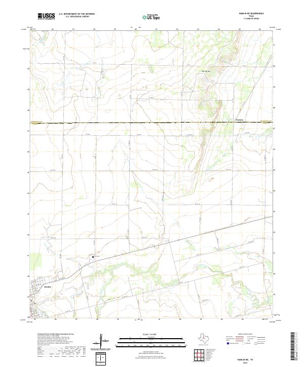 2022 Hamlin NE2022 Print · USGSThe outskirts of Hamlin and the rural community of Pastura are captured here in the early twenty-first century. Researchers can trace land use around Flat Top Mtn or locate family plots at East Cem along the banks of California Cr.
 - 2022 Map of Hamlin NW, 2022 Print
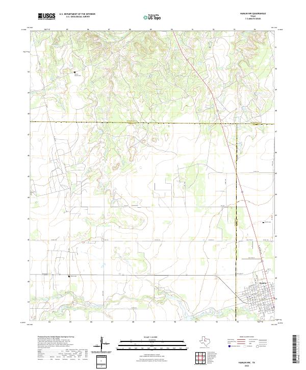 2022 Hamlin NW2022 Print · USGSThe rural expanse northwest of Hamlin is documented here in the early 2020s, showing where the grids of three counties converge. Local researchers can pinpoint family history at Moore Ranch Cem, Afton Cem, and along the banks of California Cr.
 - 2022 Map of Noodle, 2022 Print
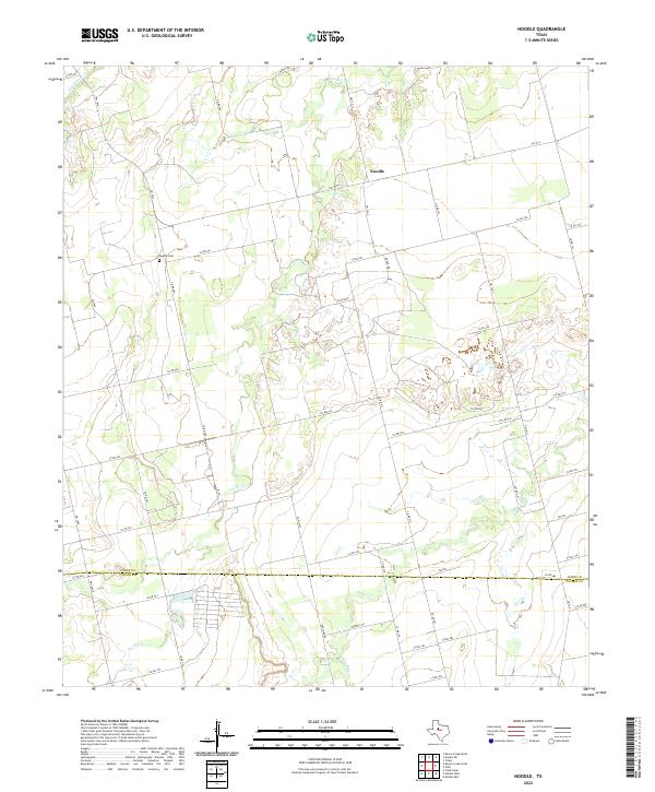 2022 Noodle2022 Print · USGSThe ranching and farming country near the border of Jones and Taylor Counties comes into focus in this recent survey. Researchers can trace rural landmarks and family burial sites like the Noodle Cem and follow the paths of Noodle Cr and Bitter Cr.
 - 2022 Map of McCaulley, 2022 Print
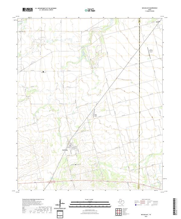 2022 McCaulley2022 Print · USGSThe rural landscape around Fisher and Jones counties comes into focus in this late-era survey of the Texas plains. Local historians can trace the roads connecting McCaulley and Hamlin or locate family sites near Swedonia Cem and McCaulley Cem.
 - 2022 Map of Noodle NE, 2022 Print
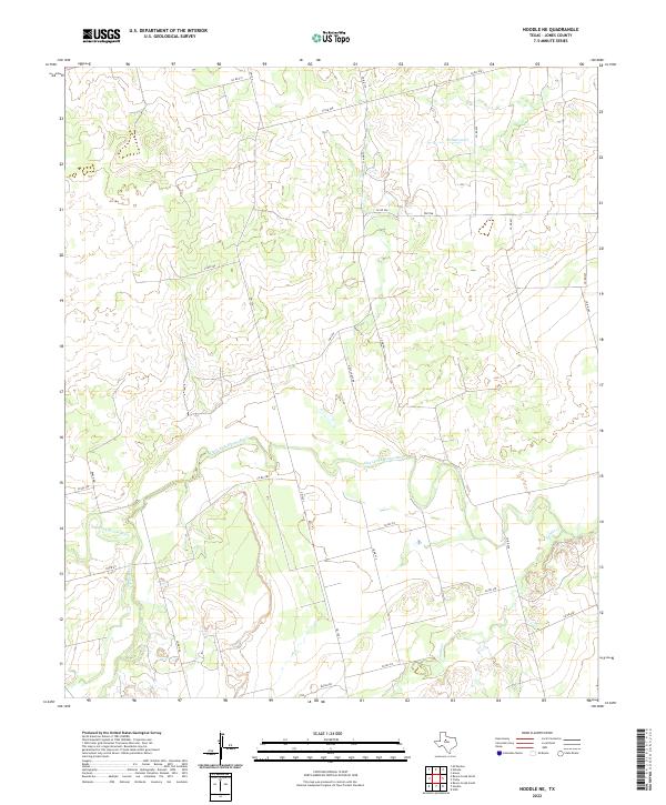 2022 Noodle NE2022 Print · USGSJones County ranchland is mapped here in the early twenty-first century, showing the rural grid south of the Clear Fork. Trace the paths of Sweetwater Cr and Noodle Cr through a landscape of remote county roads and farm routes like FM 126.
 - 2022 Map of Raven Creek South, 2022 Print
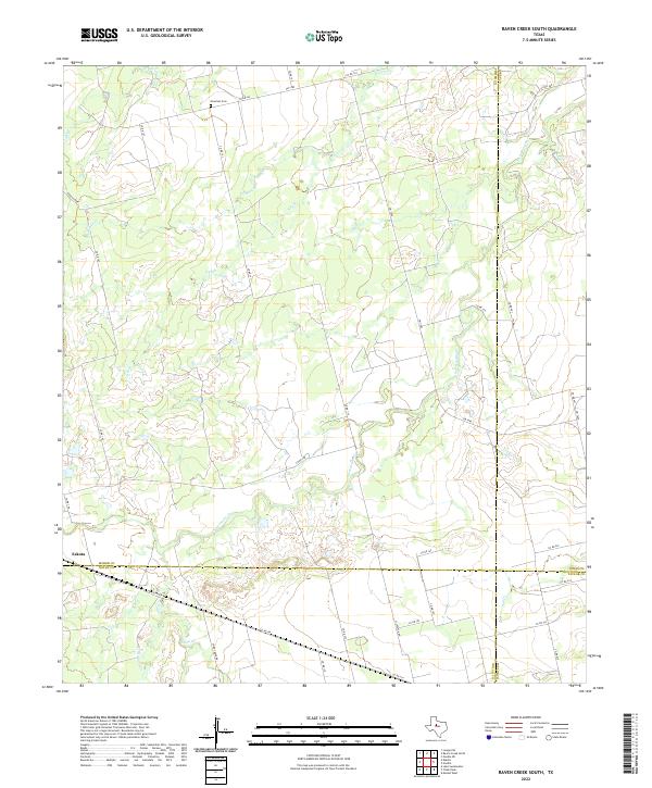 2022 Raven Creek South2022 Print · USGSFisher County and its neighbors are captured here in the early 2020s, showing the intersection of four Texas counties. Trace local family history at Newman Cem or explore the rural surroundings of Eskota and the banks of Sweetwater Cr.
End of results
Showing maps 1-24 of 24
Top cities of Jones County
Frequently asked questions
- What are the different types of historical maps available for Jones County?
- What is the oldest map of Jones County?
- Where can I purchase historical maps of Jones County for my home or office?
- Where can I download high-res historical maps of Jones County?
- Are there historical topographic maps available for Jones County?
- Is there historical aerial imagery available for Jones County?
- Where are historical maps of Jones County sourced from?