1960s Maps of Karnes County, Texas
Explore 25 historic maps of Karnes County from the 1960s. These maps offer a rare glimpse into what life looked like during the 1960s — showing old roads, neighborhoods, homes, and landmarks that have changed or disappeared over time.
Whether you're researching your family's past, planning a metal detecting trip, or studying how Karnes County's landscape evolved across the 1960s, these high-resolution maps are a powerful tool for exploring the history of this region.
- Focus on a specific era: All maps on this page are from the 1960s, giving you a focused view of this time period.
- See what’s changed: Compare century-old streets, trails, and buildings to today's modern landscape using overlays and satellite layers.
- Research with precision: Use these maps for genealogy, historical research, land use analysis, or educational projects.
- View, download, or print: Maps are fully viewable online in high resolution, and can be downloaded or printed for your own records.
Start exploring Karnes County's history through authentic maps from the 1960s. This is your window into the past.
Karnes County, TX maps
(25)- 1960 Map of Beeville
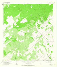
 1960 Beeville1960 Print · USGSCoastal Texas in the mid-fifties reveals a landscape of growing towns and vital military outposts like Foster AFB. Researchers can trace old rail lines including the Missouri Pacific and explore the vast Aransas National Wildlife Refuge.
 - 1960 Map of Karnes City
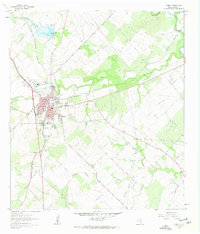
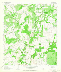
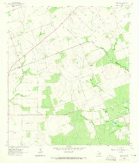
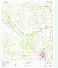 1960 Karnes City1960 Print · USGSMid-century South Texas life centers on the river valleys and rail lines between Panna Maria and Karnes City. Researchers can trace old family sites at St Mary Cem, locate the Karnes City Hot Springs, or follow the Texas and New Orleans railroad corridor.3 unique versions available
 - 1960 Map of Kosciusko, 1961 Print
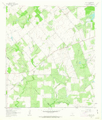
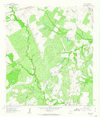
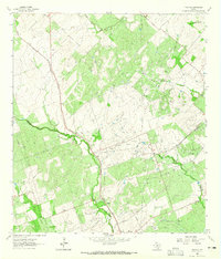
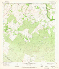
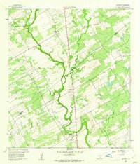 1960 Kosciusko1961 Print · USGSPolish-Texan heritage in the early sixties is preserved on this survey of the Wilson and Karnes county line. Genealogists and researchers can trace the rural landscape surrounding Kosciusko, including local landmarks like St Anns Ch, Pulaski Sch, and the winding Cibolo Creek.2 unique versions available
 - 1960 Map of Helena, 1961 Print
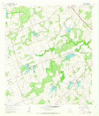
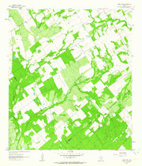
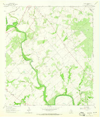
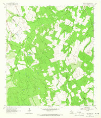
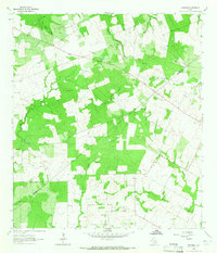
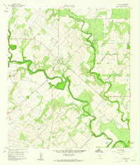 1960 Helena1961 Print · USGSThe rural landscape of Karnes County in the early sixties is dominated by the meandering San Antonio River and the settlement at Helena. Genealogists and historians can trace the community layout near the Helena Cem and Lookout Hill.3 unique versions available
 - 1961 Map of Crystal City
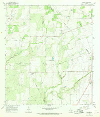
 1961 Crystal City1961 Print · USGSSouth Texas in the early sixties reveals a landscape of massive cattle ranches and emerging oil fields. Genealogists and historians can trace the Missouri Pacific rail lines through Crystal City, or locate water features like Espantosa Lake and Boynton Reservoir.
 - 1961 Map of Falls City, 1963 Print
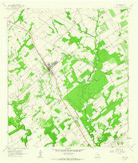
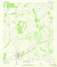
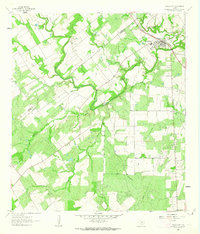 1961 Falls City1963 Print · USGSFalls City and the surrounding South Texas river country are shown here in the early sixties as the oil and quarrying industries expanded. Researchers can trace river crossings like Conquista Crossing, locate the Mueller Cem, and follow the Southern Pacific rail line.
 - 1961 Map of Kenedy, 1963 Print
 1961 Kenedy1963 Print · USGSThe South Texas plains around Kenedy are captured here in the early sixties as a center of rail transport and oil production. Genealogists and researchers can locate Butler Cem, the Southern Pacific line, and the old Evanston Airport.3 unique versions available
 - 1961 Map of Coy City, 1963 Print
 1961 Coy City1963 Print · USGSThe Karnes County brush country is captured here in the early sixties, showing the rural crossroads of Coy City and Fashing. Researchers can trace the development of the local oil industry through a network of Pipelines and an isolated Landing Strip.
 - 1961 Map of Lenz, 1963 Print
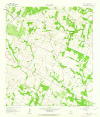
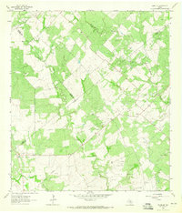
 1961 Lenz1963 Print · USGSKarnes County ranching and water management are on display in the early sixties, showing the landscape around the settlement of Lenz. Researchers can trace old property lines and rural landmarks like the Drive-in Theater and the winding Doe Branch.2 unique versions available
 - 1961 Map of Poth, 1963 Print
 1961 Poth1963 Print · USGSSouth Texas agricultural and oil interests converge in the early sixties near the Wilson and Karnes county line. Researchers can trace family history at the Blessed Sacrament Ch and Lutheran Cem or locate industrial sites like the Bienek Oil Field.2 unique versions available
 - 1961 Map of New Davy, 1963 Print
 1961 New Davy1963 Print · USGSDeWitt County ranch land and rural crossroads are captured here in the early sixties at the intersection of three Texas counties. Researchers can locate family landmarks like Sand Gate Cem and trace the paths of Little Salt Creek and Fifteenmile Creek.2 unique versions available
 - 1961 Map of Gillett, 1963 Print
 1961 Gillett1963 Print · USGSSouthern Texas ranching and oil fields come into focus in the early sixties along the Wilson and Karnes County border. Researchers can trace the SOUTHERN PACIFIC line through Pandora or locate rural landmarks like the MANFORD GAS FIELD and El Negro Ranch.3 unique versions available
 - 1961 Map of Ecleto, 1964 Print
 1961 Ecleto1964 Print · USGSThe rural border of Karnes and Wilson Counties comes into focus during the early sixties, showing a landscape defined by oil and ranching. Researchers can locate family landmarks like Treybig Cem and Gillett Sch or trace the Person Oil Field and Ecleto Creek.2 unique versions available
 - 1961 Map of Three Oaks, 1964 Print
 1961 Three Oaks1964 Print · USGSWilson County rural life in the early sixties revolved around small community centers like Three Oaks and Dewees. Researchers can locate family landmarks such as the Three Oaks Ch and Three Oaks Sch, or trace old industrial sites like the local Mines.2 unique versions available
 - 1961 Map of Fashing, 1964 Print
 1961 Fashing1964 Print · USGSThe South Texas brush country at the dawn of the 1960s reveals an landscape shaped by the Fashing Edwards Gas Field. Trace the development of Fashing and search for family roots at Brister Cem or Fashing Cem near Tordillo Hill.
 - 1963 Map of Monteola, 1965 Print
 1963 Monteola1965 Print · USGSThe Bee and Karnes County line comes alive in the early sixties as the oil industry shapes the rural landscape. Researchers can locate family landmarks like Pullin Livingston Cem and Elim Ch or trace the early footprint of the Caesar Oil Field.3 unique versions available
 - 1963 Map of Tulsita, 1965 Print
 1963 Tulsita1965 Print · USGSThe Texas oil fields and cattle country come alive in the early sixties as industrial development meets rural settlement. Trace the legacy of petroleum at Burnell Oil Field, locate family roots at Refugio Cem, or follow the Southern Pacific tracks.2 unique versions available
 - 1963 Map of Choate, 1965 Print
 1963 Choate1965 Print · USGSSouth Texas petroleum production and ranching define this area in the early sixties as the oil industry expanded across Karnes County. Researchers can locate the settlement of Choate, trace the Southern Pacific rail line, and find the Cabeza Creek Refinery.2 unique versions available
 - 1963 Map of Berclair NW, 1965 Print
 1963 Berclair NW1965 Print · USGSThe borderlands of Bee, Goliad, and Karnes Counties are captured in the early sixties as the regional energy economy expanded. Genealogists and researchers can trace local landmarks like Charco Cem, the San Antonio River, and the Pettus North Oil Field.2 unique versions available
 - 1963 Map of Bald Mound, 1965 Print
 1963 Bald Mound1965 Print · USGSThe rural intersection of Gonzales, Wilson, and Karnes counties is captured here in the early 1960s. Researchers can trace the local landscape through landmarks like Bald Mound, the remote Shockley crossing, and natural features like Flowing Well and Elm Creek.3 unique versions available
 - 1963 Map of Runge, 1965 Print
 1963 Runge1965 Print · USGSRunge and the surrounding Karnes County ranch lands are documented here in the early 1960s. You can trace the path of the Southern Pacific railroad and locate local landmarks like the Nordheim Cemetery and Ojo de Agua Creek.2 unique versions available
 - 1963 Map of Runge SE, 1965 Print
 1963 Runge SE1965 Print · USGSThe South Texas plains between Goliad and Karnes counties were a hub of energy production in the early sixties. Researchers can trace the layout of the Slick Oil Field and Boceta Oil Field or locate the historic Melrose (Site).2 unique versions available
 - 1963 Map of Garfield, 1965 Print
 1963 Garfield1965 Print · USGSThis South Texas countryside along the county line was transitioning into a modern ranching and energy landscape in the early sixties. Genealogists and local historians can trace family land via the settlements of Garfield and Old Davy or locate several Oil Wells and Gravel Pits.3 unique versions available
 - 1965 Map of Pawnee, 1968 Print
 1965 Pawnee1968 Print · USGSPawnee and the surrounding ranch lands of Bee and Karnes counties are captured here in the mid-1960s. Family historians and researchers can trace the rural communities of Nell and El Oso or locate burials at the Nell Cem and Pawnee Cem.2 unique versions available
 - 1968 Map of Crystal City
 1968 Crystal City1968 Print · USGSSouth Texas in the late sixties reveals a landscape shaped by ranching roots and the vital waters of the Nueces River. Researchers can trace the rail-driven growth of Crystal City or locate landmarks like Pilot Knob and Espantosa Lake.
End of results
Showing maps 1-25 of 25
Top cities of Karnes County
Frequently asked questions
- What are the different types of historical maps available for Karnes County?
- What is the oldest map of Karnes County?
- Where can I purchase historical maps of Karnes County for my home or office?
- Where can I download high-res historical maps of Karnes County?
- Are there historical topographic maps available for Karnes County?
- Is there historical aerial imagery available for Karnes County?
- Where are historical maps of Karnes County sourced from?