2000s (21st Century) Maps of Karnes County, Texas
Explore 110 historic maps of Karnes County from the 2000s (21st Century). These maps offer a rare glimpse into what life looked like during the 2000s — showing old roads, neighborhoods, homes, and landmarks that have changed or disappeared over time.
Whether you're researching your family's past, planning a metal detecting trip, or studying how Karnes County's landscape evolved across the 2000s, these high-resolution maps are a powerful tool for exploring the history of this region.
- Focus on a specific era: All maps on this page are from the 2000s, giving you a focused view of this time period.
- See what’s changed: Compare century-old streets, trails, and buildings to today's modern landscape using overlays and satellite layers.
- Research with precision: Use these maps for genealogy, historical research, land use analysis, or educational projects.
- View, download, or print: Maps are fully viewable online in high resolution, and can be downloaded or printed for your own records.
Start exploring Karnes County's history through authentic maps from the 2000s. This is your window into the past.
Karnes County, TX maps
(110)- 2010 Map of Ecleto, 2010 Print
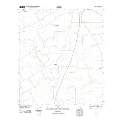 2010 Ecleto2010 Print · USGSKarnes County, Texas, at the turn of the decade is depicted here as a landscape of small settlements and active oil production. Researchers can locate family landmarks like the Treybig Cemetery or trace the drainage of Ecleto Creek and Dry Ecleto Creek.
 - 2010 Map of Garfield, 2010 Print
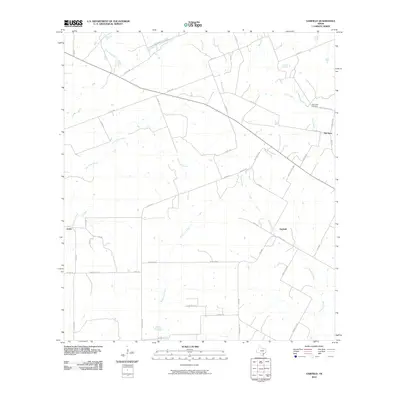 2010 Garfield2010 Print · USGSDeWitt County in the early twenty-first century remains a landscape of ranching roads and quiet rural settlements. Genealogists can trace family footprints through names like Dworaczyk Rd or locate ancestors at the Salt Creek Cemetery.
 - 2010 Map of Bald Mound, 2010 Print
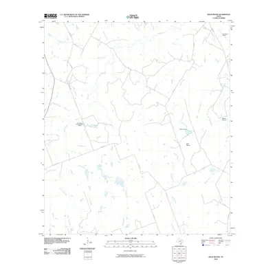 2010 Bald Mound2010 Print · USGSWilson County at the start of the decade reveals a landscape of ranching and water management. Genealogists and local historians can trace family-named landmarks and rural infrastructure along Mound Creek, Bald Mound, and the Joye Ranch Airport.
 - 2010 Map of Gillett, 2010 Print
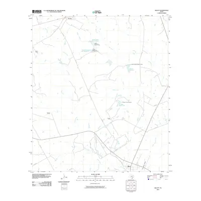 2010 Gillett2010 Print · USGSGillett and Pandora appear in this 2010 survey during a period when ranching and natural gas extraction shaped the Karnes County landscape. Researchers can locate family landmarks such as El Negro Ranch, Bailey Airport, and the southern Tom White Hollow.
 - 2010 Map of Runge SE, 2010 Print
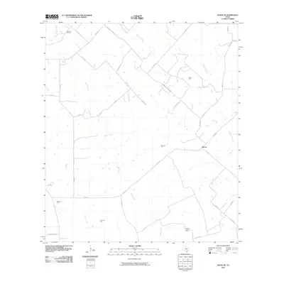 2010 Runge SE2010 Print · USGSGoliad County is shown here in the early twenty-first century, revealing a landscape defined by ranching roads and extensive energy production. Genealogists and local historians can trace family-named routes like Pokluda Rd near the Slick Oil Field and Melrose.
 - 2010 Map of Kosciusko, 2010 Print
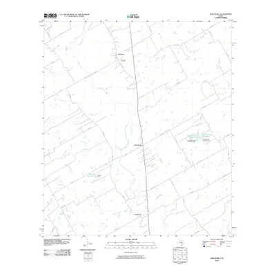 2010 Kosciusko2010 Print · USGSTexas ranching country and rural settlements are captured here in the early twenty-first century. Genealogists and local researchers can trace family landmarks like Saint Anns Cemetery and find the exact footprints of Pawelekville and Kosciusko.
 - 2010 Map of Lenz, 2010 Print
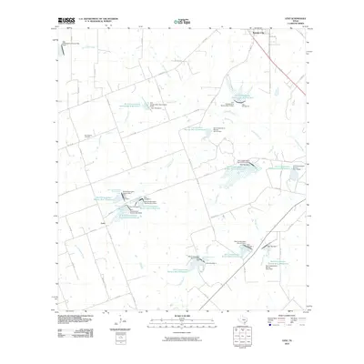 2010 Lenz2010 Print · USGSThe rural landscape of Karnes County south of Karnes City is captured here during the first decade of the millennium. Researchers can trace land use patterns across Escondido Creek and locate family burial sites at the New Bremen Cemetery near Lenz.
 - 2010 Map of Choate, 2010 Print
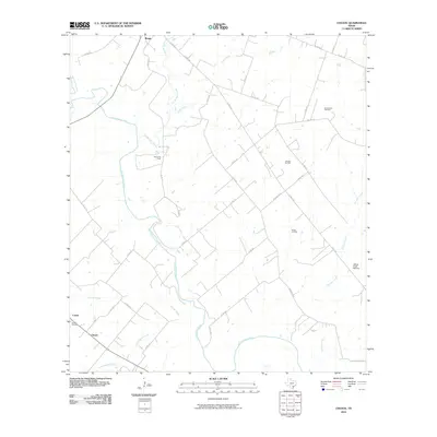 2010 Choate2010 Print · USGSKarnes County in the early twenty-first century is a landscape where rural life and energy production intersect along the San Antonio River. Researchers can locate historic rural sites like Choate Cemetery or trace the extent of the Runge Oil Field and the Cabeza Creek Refinery.
 - 2010 Map of Falls City, 2010 Print
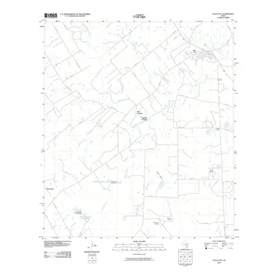 2010 Falls City2010 Print · USGSFalls City and the surrounding Karnes County landscape are defined by the winding San Antonio River in the early twenty-first century. Researchers can trace historic river crossings at Mays Crossing and Conquista Crossing or locate family plots at Mueller Cemetery.
 - 2010 Map of New Davy, 2010 Print
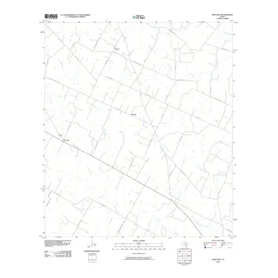 2010 New Davy2010 Print · USGSDeWitt County's rural landscape is captured here in the early twenty-first century, showing the enduring ranching and farming communities near Gruenau. Researchers can trace local lineage through sites like Sand Gate Cemetery and the eponymous Gohlke School Rd.
 - 2010 Map of Helena, 2010 Print
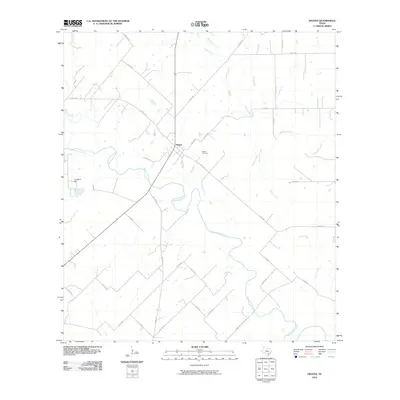 2010 Helena2010 Print · USGSThe community of Helena is shown in the early twenty-first century at the intersection of rural Texas life and the San Antonio River. Researchers can trace local lineage at the Helena Cemetery or map the drainage of Ecleto Creek and McTennel Creek across the landscape.
 - 2010 Map of Kenedy, 2010 Print
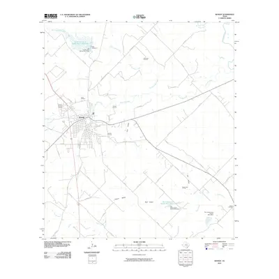 2010 Kenedy2010 Print · USGSKenedy and the surrounding South Texas cattle and oil country are shown here in the late 2000s. Researchers can locate burial sites at Butler Cemetery or Choate Cemetery and trace industrial footprints like the Hondo Creek Oil Field.
 - 2010 Map of Poth, 2010 Print
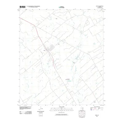 2010 Poth2010 Print · USGSThe community of Poth is shown at the start of the 2010s, surrounded by the oil fields and creek bottoms of Wilson County. Genealogists and researchers can locate the Lutheran Cemetery or trace industrial sites like the Panna Maria Tailings Pond and Bienek Oil Field.
 - 2010 Map of Karnes City, 2010 Print
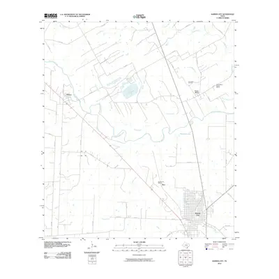 2010 Karnes City2010 Print · USGSKarnes County during the early twenty-first century reveals a landscape shaped by both Polish heritage and the local energy economy. Genealogists and historians can locate the Panna Maria Historic District, the Saint Mary Cemetery, and the Karnes City Refinery.
 - 2010 Map of Runge, 2010 Print
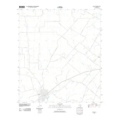 2010 Runge2010 Print · USGSRunge and the surrounding Karnes County ranchlands are documented here during a period of modern agricultural continuity. Genealogists and local historians can trace family lands near Simpson Ranch or locate burials at the Nordheim Cemetery along Cabeza Creek.
 - 2010 Map of Coy City, 2010 Print
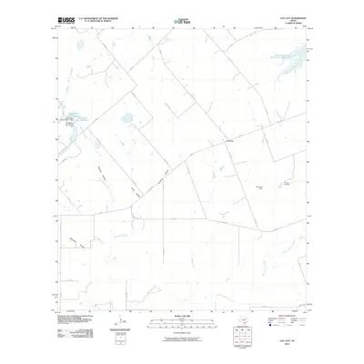 2010 Coy City2010 Print · USGSCoy City and the surrounding Karnes County ranch lands are documented here in the early twenty-first century. Researchers can trace the local energy economy at the Coy City Gas Field and identify family-named landmarks like Weddington Lake Number 1 and Mexican Hollow.
 - 2010 Map of Fashing, 2010 Print
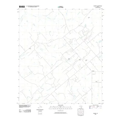 2010 Fashing2010 Print · USGSFashing and the South Texas brush country are shown here in the early twenty-first century as centers of energy production. Genealogists and researchers can trace local family landmarks like Brister Cemetery, Fashing Cemetery, and the Weigang Oil Field.
 - 2010 Map of Three Oaks, 2010 Print
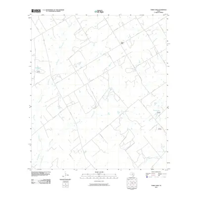 2010 Three Oaks2010 Print · USGSWilson County rural life is captured in this survey of the area around Three Oaks during the early 2000s. Researchers can trace land use through prominent water features and dams, such as Grimes Lake, Tessman Lake, and the uniquely named Uranium Lake Dam.
 - 2010 Map of Monteola, 2010 Print
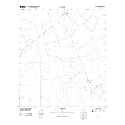 2010 Monteola2010 Print · USGSKarnes County remains a landscape of quiet ranching and oil production in this early twenty-first-century survey. Genealogists and historians can trace family ties at the Pullin-Livingston Cemetery and locate small communities like Zunkerville and Caesar.
 - 2010 Map of Pawnee, 2010 Print
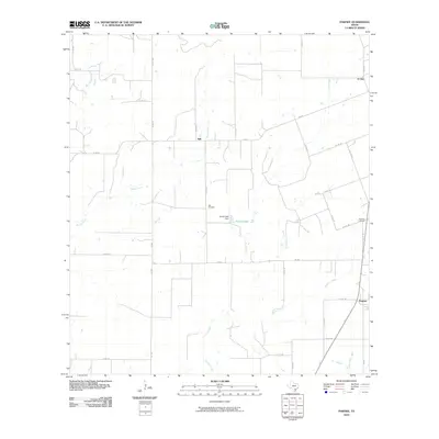 2010 Pawnee2010 Print · USGSThe ranchlands of Live Oak County appear here in the early twenty-first century, showing a landscape shaped by rural roads and creek drainages. Genealogists can trace the location of community burial sites at Nell Cemetery and Pawnee Cemetery or explore the settlements of Nell and El Oso.
 - 2010 Map of Tulsita, 2010 Print
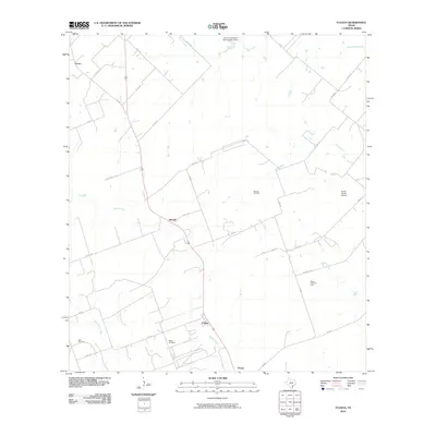 2010 Tulsita2010 Print · USGSKarnes County during the first decade of the 2000s shows a landscape of persistent ranching and active petroleum production. Family researchers and historians can trace local roots through the Dahl Cemetery or locate industrial sites like the Burnell Oil Field and Pettus North Oil Field.
 - 2010 Map of Berclair NW, 2010 Print
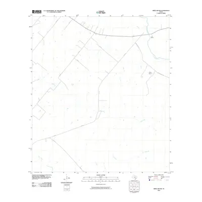 2010 Berclair NW2010 Print · USGSThis South Texas landscape at the turn of the decade is defined by the winding San Antonio River and rural ranching operations. Genealogists and local historians can locate Charco Cemetery or trace the development of the Hordes Creek Gas Field amidst old rural routes like Mail Rd.
 - 2012 Map of Pawnee, 2012 Print
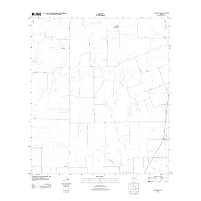 2012 Pawnee2012 Print · USGSCoastal plains ranching and rural life come into focus in this recent study of the Bee and Live Oak county line. Genealogists and local historians can locate family sites near Nell Cem, Pawnee Cem, and the small settlement of El Oso.
 - 2012 Map of Three Oaks, 2012 Print
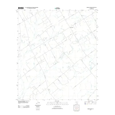 2012 Three Oaks2012 Print · USGSTexas ranching country near Three Oaks is captured here in the early twenty-first century, showing a landscape defined by seasonal creeks and rural routes. Researchers can trace land divisions along Sulphur Cr or locate properties near Grimes Lake and Tessman Lake.
 - 2013 Map of Fashing, 2013 Print
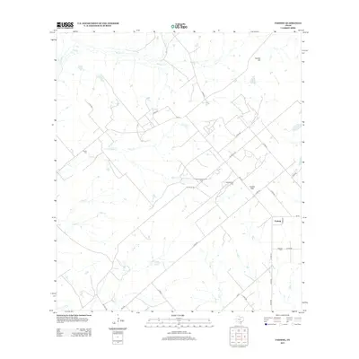 2013 Fashing2013 Print · USGSThe ranching and energy country of South Texas is captured here in the early twenty-first century. Genealogists and historians can locate Brister Cem and Fashing Cem or trace the reach of the Fashing Edwards Gas Field.
Showing maps 1-25 of 110
Top cities of Karnes County
Frequently asked questions
- What are the different types of historical maps available for Karnes County?
- What is the oldest map of Karnes County?
- Where can I purchase historical maps of Karnes County for my home or office?
- Where can I download high-res historical maps of Karnes County?
- Are there historical topographic maps available for Karnes County?
- Is there historical aerial imagery available for Karnes County?
- Where are historical maps of Karnes County sourced from?