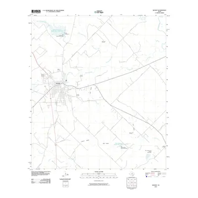
2010 Map of Kenedy
USGS Topo · Published 2010About this map
The city of Kenedy serves as the central hub of this South Texas landscape, where the confluence of several tributaries including Escondido Creek, Panther Creek, and Nichols Creek shape the local geography. The area's water management is notably defined by several mid-century infrastructure projects, such as the Soil Conservation Service Site 11 Reservoir and its associated Soil Conservation Service Site 11 Dam. These reservoirs and dams were engineered to manage the flow of seasonal creeks like Dry Escondido Creek before they reach the San Antonio River.
Find a feature on this map
54 named features on this map. Tap any name to fly to it.
Don’t see what you’re looking for? This feature index may not catch every label — zoom into the map to look around manually.
Map Details
Editions of this 2010 Kenedy Map
This is the sole edition of this map. No revisions or reprints were ever made.
Other maps of this area

1936 · Pettus
USGS Topo · 1:62,500

1953 · Beeville
USGS Topo · 1:250,000

1956 · Beeville
USGS Topo · 1:250,000

1956 · Pettus
USGS Topo · 1:62,500

1956 · Karnes City
USGS Topo · 1:62,500

1960 · Beeville
USGS Topo · 1:250,000
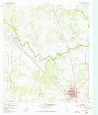
1960 · Karnes City
USGS Topo · 1:24,000

1960 · Helena
USGS Topo · 1:24,000
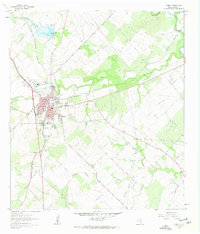
1961 · Kenedy
USGS Topo · 1:24,000
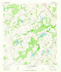
1961 · Lenz
USGS Topo · 1:24,000