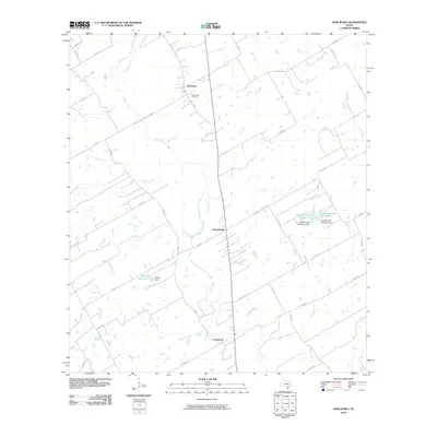
2010 Map of Kosciusko
USGS Topo · Published 2010About this map
Cibolo Creek meanders through this South Texas landscape, anchoring a corridor of small settlements including Kosciusko, Pawelekville, and Cestohowa. The 2010 survey reflects a rural Karnes County geography defined by ranching and small-scale water management, evidenced by features such as the Olinick Reservoir and Olinick Dam. Genealogists and local historians will find the location of Saint Anns Cemetery near Kosciusko a significant point of interest for tracing family roots in this culturally distinct region. The map reveals a dense network of farm-to-market roads and county routes, like FM 1347 and FM 541, which connect isolated homesteads to these community centers. Named watercourses such as Pulaski Creek, Biala Creek, and Casiano Creek further illustrate the drainage patterns of the area.
Find a feature on this map
40 named features on this map. Tap any name to fly to it.
Don’t see what you’re looking for? This feature index may not catch every label — zoom into the map to look around manually.
Map Details
Editions of this 2010 Kosciusko Map
This is the sole edition of this map. No revisions or reprints were ever made.
Other maps of this area

1920 · Smiley
USGS Topo · 1:125,000

1925 · Tordia No. 1
USGS Topo · 1:48,000

1931 · Falls City
USGS Topo · 1:62,500

1936 · Floresville
USGS Topo · 1:62,500

1953 · Crystal City
USGS Topo · 1:250,000

1953 · Beeville
USGS Topo · 1:250,000

1953 · Seguin
USGS Topo · 1:250,000

1954 · San Antonio
USGS Topo · 1:250,000

1955 · Crystal City
USGS Topo · 1:250,000

1956 · Beeville
USGS Topo · 1:250,000