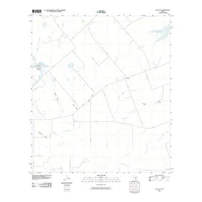
2010 Map of Coy City
USGS Topo · Published 2010About this map
Coy City anchors this portion of Karnes County, Texas, serving as a focal point for a landscape defined by ranching and resource extraction. The map reveals the local industrial footprint of the Coy City Gas Field, situated near the headwaters of Weedy Creek. The hydrology of the region is notably modified by numerous water control structures, including the Soil Conservation Service Site 9 Reservoir and the Best Lake Dam.
Find a feature on this map
40 named features on this map. Tap any name to fly to it.
Don’t see what you’re looking for? This feature index may not catch every label — zoom into the map to look around manually.
Map Details
Editions of this 2010 Coy City Map
This is the sole edition of this map. No revisions or reprints were ever made.
Other maps of this area

1925 · Tordia No. 1
USGS Topo · 1:48,000

1931 · Falls City
USGS Topo · 1:62,500

1936 · Pettus
USGS Topo · 1:62,500

1953 · Crystal City
USGS Topo · 1:250,000

1953 · Beeville
USGS Topo · 1:250,000

1955 · Crystal City
USGS Topo · 1:250,000

1956 · Suniland
USGS Topo · 1:62,500

1956 · Beeville
USGS Topo · 1:250,000

1956 · Pettus
USGS Topo · 1:62,500

1956 · Karnes City
USGS Topo · 1:62,500