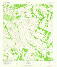
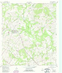
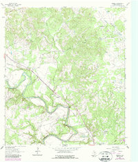
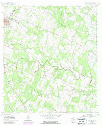
1961 Map of New Davy
USGS Topo · Published 1963This historical map portrays the area of New Davy in 1961, primarily covering DeWitt County as well as portions of Karnes County and Gonzales County. Featuring a scale of 1:24000, this map provides a highly detailed snapshot of the terrain, roads, buildings, counties, and historical landmarks in the New Davy region at the time. Published in 1963, it is one of 2 known editions of this map due to revisions or reprints.
Find a feature on this map
14 named features on this map. Tap any name to fly to it.
Don’t see what you’re looking for? This feature index may not catch every label — zoom into the map to look around manually.
Map Details
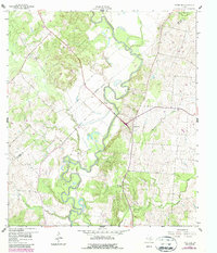
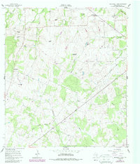
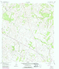
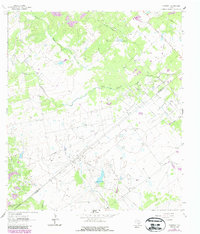
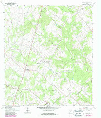
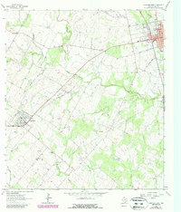
Editions of this 1961 New Davy Map
2 editions found
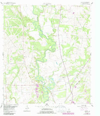
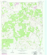
Historical Maps of Karnes County Through Time
13 maps found
1959 Hochheim
DeWitt County, TX
1960 Blackwell Lake
DeWitt County, TX
1960 Concrete
DeWitt County, TX
1960 Westhoff
DeWitt County, TX
1961 New Davy
DeWitt County, TX
1962 Edgar
DeWitt County, TX
1962 Terryville
DeWitt County, TX
1962 Verhelle
DeWitt County, TX
1963 Fordtran
DeWitt County, TX
1963 Garfield
DeWitt County, TX
1963 Meyersville
DeWitt County, TX
1963 Yorktown East
DeWitt County, TX
1963 Yorktown West
DeWitt County, TX