Old Maps of Kerrville, Texas for Hiking & Exploration
Hike through history with 33 historic maps of Kerrville. Explore old trails, ghost towns, and forgotten backroads — perfect for outdoor adventurers and local explorers.
- Rediscover forgotten places: Map out old mining camps, roads, and footpaths that no longer exist on modern maps.
- Layer with modern tools: Combine with LiDAR or satellite views to plan hikes through historical terrain.
- Made for exploration: Popular among hikers, overlanders, and local history lovers.
Use these maps to find adventure and explore the hidden past of Kerrville.
Kerrville, TX maps
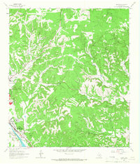
(33)- 1894 Map of Kerrville
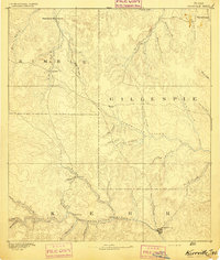 1894 Kerrville1894 Print · USGSThe Texas Hill Country in the late nineteenth century was a land of river-valley outposts and high divides. Genealogists and researchers can trace the early footprints of Kerrville, Harper, and Ingram, or locate rural landmarks like Johnson Resort and Steamboat Mountain.4 unique versions available
 - 1954 Map of Llano, 1964 Print
 1954 Llano1964 Print · USGSThe Texas Hill Country and Highland Lakes appear in the mid-fifties, just as new reservoirs began reshaping the landscape. Trace ranching history and river routes from Mason to Llano, or follow the Gulf Colorado and Santa Fe RR past Buchanan Lake.2 unique versions available
 - 1954 Map of San Antonio, 1964 Print
 1954 San Antonio1964 Print · USGSSan Antonio and the Texas Hill Country are captured here in the mid-fifties, showing a landscape defined by massive military air bases and the rising Canyon Reservoir. Trace family ties through historic rail towns like D'Hanis and Castroville or explore the Cold War footprint of Lackland AFB and Randolph AFB.3 unique versions available
 - 1955 Map of Llano
 1955 Llano1955 Print · USGSCentral Texas and the Hill Country are seen here during the mid-1950s growth of the Highland Lakes. Trace old settlements and geologic landmarks from Enchanted Rock and Longhorn Cavern to the small community of Luckenbach.
 - 1956 Map of Center Point
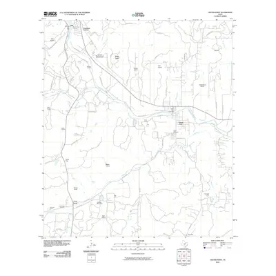
 1956 Center Point1956 Print · USGSTexas Hill Country ranching and river life are captured here in the mid-fifties, centered on the Center Point valley. Genealogists can locate named homesteads like Jacksons Ranch and M Hopkins while tracing the Old Spanish Trail and Bandera Pass.
 - 1956 Map of Llano, 1976 Print
 1956 Llano1976 Print · USGSThe Texas Hill Country comes alive in this mid-seventies survey of the Llano Uplift and Colorado River lakes. Genealogists and historians can trace family roots through settlements like Luckenbach and Castell or locate the famed L B J Ranch and Enchanted Rock.
 - 1957 Map of San Antonio
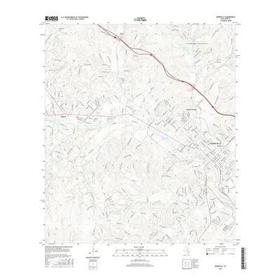
 1957 San Antonio1957 Print · USGSSan Antonio and the Texas Hill Country are shown here during the mid-fifties, capturing the region's expanding post-war military and transportation footprint. Genealogists and local historians can trace the early residential boundaries of Alamo Heights or locate rural landmarks like St Hedwig and Medina Lake.
 - 1964 Map of Center Point, 1966 Print
 1964 Center Point1966 Print · USGSThe Guadalupe River valley in the mid-1960s reveals a landscape of enduring Hill Country ranches and riverside settlements. Genealogists and historians can trace family sites like the Wharton Cem, the grounds of Old Camp Verde, and the H-Bar-H Ranch.2 unique versions available
 - 1964 Map of Kerrville, 1967 Print
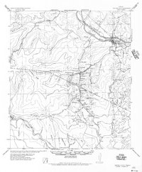
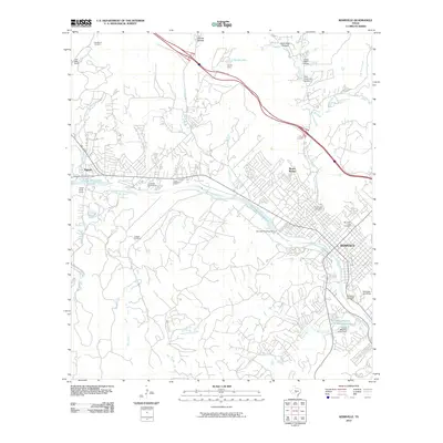
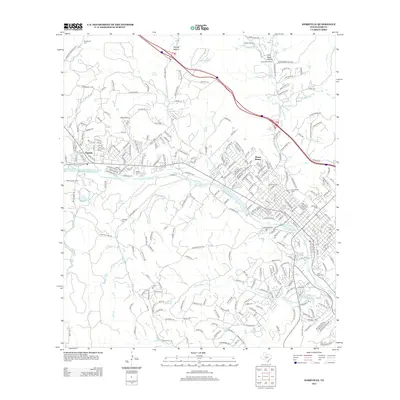
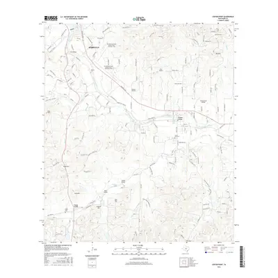
 1964 Kerrville1967 Print · USGSThe Texas Hill Country centers on the winding Guadalupe River during a period of steady institutional and residential growth in the mid-sixties. Genealogists and historians can locate family landmarks like the Nichols Cem, the Schreiner Institute campus, and the early grounds of Old Lake Ingram.3 unique versions available
 - 1964 Map of Legion, 1967 Print
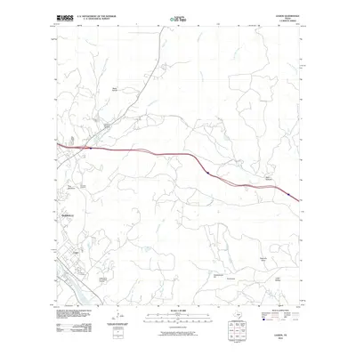
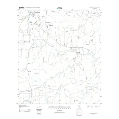
 1964 Legion1967 Print · USGSKerr County in the mid-1960s reveals a unique intersection of institutional care and Hill Country terrain along the Guadalupe River. Researchers can trace the grounds of Legion, the Veterans Hospital, and the rail corridor of the Southern Pacific.2 unique versions available
 - 1964 Map of Fall Creek, 1968 Print
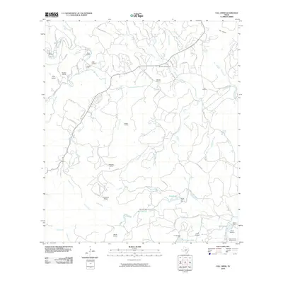
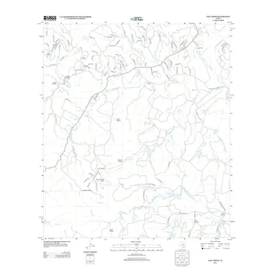
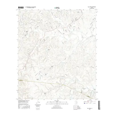
 1964 Fall Creek1968 Print · USGSThe Texas Hill Country at the Kerr and Bandera county line in the mid-sixties reveals a landscape of isolated camps and family homesteads. Genealogists can locate family-named sites like Real Cem and Habecker Cem or trace the drainage of Turtle Creek and Verde Creek.2 unique versions available
 - 1985 Map of Kerrville
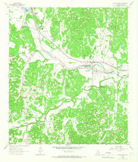
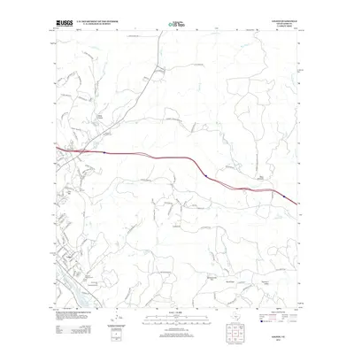
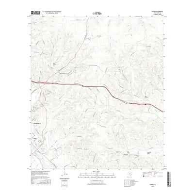
 1985 Kerrville1985 Print · USGSThe Texas Hill Country comes into focus in the mid-eighties as a landscape of ranching roads and river headwaters. Trace the historic sites of Old Noxville, the remote Garven Store, and the early campus of Schreiner College.2 unique versions available
 - 1985 Map of Bandera
 1985 Bandera1985 Print · USGSThe Texas Hill Country in the mid-eighties was a land of winding river valleys and high limestone ridges. You can trace the rural road networks and find local landmarks like Garner State Park, Utopia, and Lost Maples State Park.2 unique versions available
 - 2010 Map of Fall Creek, 2010 Print
 2010 Fall Creek2010 Print · USGSCovers Kerrville, including Kerr County, Bandera County, and other nearby areas
 - 2010 Map of Center Point, 2010 Print
 2010 Center Point2010 Print · USGSCovers Kerrville, including Center Point, Camp Verde, and other nearby areas
 - 2010 Map of Kerrville, 2010 Print
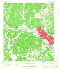
 2010 Kerrville2010 Print · USGSCovers Kerrville, including Ingram, Mount Wesley, and other nearby areas
 - 2010 Map of Legion, 2010 Print
 2010 Legion2010 Print · USGSCovers Kerrville, including Kerr County, United States, and other nearby areas
 - 2012 Map of Kerrville, 2012 Print
 2012 Kerrville2012 Print · USGSCovers Kerrville, including Ingram, Mount Wesley, and other nearby areas
 - 2012 Map of Legion, 2012 Print
 2012 Legion2012 Print · USGSCovers Kerrville, including Kerr County, United States, and other nearby areas
 - 2013 Map of Fall Creek, 2013 Print
 2013 Fall Creek2013 Print · USGSCovers Kerrville, including Kerr County, Bandera County, and other nearby areas
 - 2013 Map of Center Point, 2013 Print
 2013 Center Point2013 Print · USGSCovers Kerrville, including Center Point, Camp Verde, and other nearby areas
 - 2016 Map of Center Point, 2016 Print
 2016 Center Point2016 Print · USGSCovers Kerrville, including Center Point, Camp Verde, and other nearby areas
 - 2016 Map of Fall Creek, 2016 Print
 2016 Fall Creek2016 Print · USGSCovers Kerrville, including Kerr County, Bandera County, and other nearby areas
 - 2016 Map of Legion, 2016 Print
 2016 Legion2016 Print · USGSCovers Kerrville, including Kerr County, United States, and other nearby areas
 - 2016 Map of Kerrville, 2016 Print
 2016 Kerrville2016 Print · USGSCovers Kerrville, including Ingram, Mount Wesley, and other nearby areas
Showing maps 1-25 of 33
Top cities near Kerrville
- Fredericksburg historical maps
- Center Point historical maps
- Ingram historical maps
- Camp Verde historical maps
Top neighborhoods of Kerrville
Frequently asked questions
- What are the different types of historical maps available for Kerrville?
- What is the oldest map of Kerrville?
- Where can I purchase historical maps of Kerrville for my home or office?
- Where can I download high-res historical maps of Kerrville?
- Are there historical topographic maps available for Kerrville?
- Is there historical aerial imagery available for Kerrville?
- Where are historical maps of Kerrville sourced from?