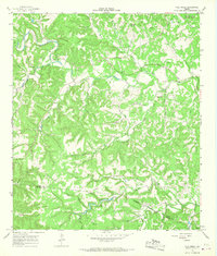
1964 Map of Fall Creek
USGS Topo · Published 1968About this map
The boundary between Kerr and Bandera Counties defines this mid-1960s landscape, where the deeply dissected plateau of the Texas Hill Country is marked by a complex network of seasonal drainages and springs. The northern reaches of the map include a portion of Kerrville State Park and several established recreational retreats such as Camp Maddox and Kickapoo Camp along the winding course of Turtle Creek. Local genealogy is well-represented by family-named burial grounds including Real Cem and Habecker Cem, alongside distinctive place names like Little Lambs Grave Hollow. Settlement is sparse, characterized by isolated homesteads like Edwards and a few improved structures. Much of the southern terrain is dominated by the prominent Huntsberry Ridge, which separates the many prongs and branches feeding into Verde Creek and Fall Creek.
Find a feature on this map
43 named features on this map. Tap any name to fly to it.
Don’t see what you’re looking for? This feature index may not catch every label — zoom into the map to look around manually.
Map Details
Editions of this 1964 Fall Creek Map
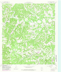
2 editions found
Other maps of this area

1894 · Kerrville
USGS Topo · 1:125,000

1954 · Llano
USGS Topo · 1:250,000

1954 · San Antonio
USGS Topo · 1:250,000

1955 · Llano
USGS Topo · 1:250,000

1956 · Tuff
USGS Topo · 1:62,500

1956 · Center Point
USGS Topo · 1:62,500

1956 · Llano
USGS Topo · 1:250,000

1957 · San Antonio
USGS Topo · 1:250,000

1964 · Center Point
USGS Topo · 1:24,000

1964 · Echo Hill Ranch
USGS Topo · 1:24,000