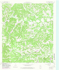
1964 Map of Fall Creek
USGS Topo · Published 1982About this map
Huntsberry Ridge dominates the central landscape of this West Texas terrain, marking the divide between the Turtle Creek and Verde Creek drainage basins. The area exhibits a pattern of private encampments and family history, with Camp Maddox, Camp Chrysalis, and Kickapoo Camp clustered in the northwest near the creek bends. Local genealogy is well-documented through several designated burial sites, including Turtle Creek Cem, Habecker Cem, and Real Cem, which are scattered along the winding Lower Turtle Creek Road. The northern edge of the map includes a portion of Kerrville State Park, while the southern reaches descend into the Kerr Co Bandera Co line. This landscape reflects a rural Texas Hill Country character, where topography dictates the location of early ranching outposts like Edwards and various water sources such as Peterson Spring and Lin Prong.
Find a feature on this map
46 named features on this map. Tap any name to fly to it.
Don’t see what you’re looking for? This feature index may not catch every label — zoom into the map to look around manually.
Map Details
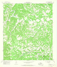
Editions of this 1964 Fall Creek Map
2 editions found
Other maps of this area

1894 · Kerrville
USGS Topo · 1:125,000

1954 · Llano
USGS Topo · 1:250,000

1954 · San Antonio
USGS Topo · 1:250,000

1955 · Llano
USGS Topo · 1:250,000

1956 · Tuff
USGS Topo · 1:62,500

1956 · Center Point
USGS Topo · 1:62,500

1956 · Llano
USGS Topo · 1:250,000

1957 · San Antonio
USGS Topo · 1:250,000

1964 · Center Point
USGS Topo · 1:24,000

1964 · Echo Hill Ranch
USGS Topo · 1:24,000