2000s (21st Century) Maps of Kerrville, Texas
Explore 20 historic maps of Kerrville from the 2000s (21st Century). These maps offer a rare glimpse into what life looked like during the 2000s — showing old roads, neighborhoods, homes, and landmarks that have changed or disappeared over time.
Whether you're researching your family's past, planning a metal detecting trip, or studying how Kerrville's landscape evolved across the 2000s, these high-resolution maps are a powerful tool for exploring the history of this region.
- Focus on a specific era: All maps on this page are from the 2000s, giving you a focused view of this time period.
- See what’s changed: Compare century-old streets, trails, and buildings to today's modern landscape using overlays and satellite layers.
- Research with precision: Use these maps for genealogy, historical research, land use analysis, or educational projects.
- View, download, or print: Maps are fully viewable online in high resolution, and can be downloaded or printed for your own records.
Start exploring Kerrville's history through authentic maps from the 2000s. This is your window into the past.
Kerrville, TX maps
(20)- 2010 Map of Fall Creek, 2010 Print
 2010 Fall Creek2010 Print · USGSCovers Kerrville, including Kerr County, Bandera County, and other nearby areas
 - 2010 Map of Center Point, 2010 Print
 2010 Center Point2010 Print · USGSCovers Kerrville, including Center Point, Camp Verde, and other nearby areas
 - 2010 Map of Kerrville, 2010 Print
 2010 Kerrville2010 Print · USGSCovers Kerrville, including Ingram, Mount Wesley, and other nearby areas
 - 2010 Map of Legion, 2010 Print
 2010 Legion2010 Print · USGSCovers Kerrville, including Kerr County, United States, and other nearby areas
 - 2012 Map of Kerrville, 2012 Print
 2012 Kerrville2012 Print · USGSCovers Kerrville, including Ingram, Mount Wesley, and other nearby areas
 - 2012 Map of Legion, 2012 Print
 2012 Legion2012 Print · USGSCovers Kerrville, including Kerr County, United States, and other nearby areas
 - 2013 Map of Fall Creek, 2013 Print
 2013 Fall Creek2013 Print · USGSCovers Kerrville, including Kerr County, Bandera County, and other nearby areas
 - 2013 Map of Center Point, 2013 Print
 2013 Center Point2013 Print · USGSCovers Kerrville, including Center Point, Camp Verde, and other nearby areas
 - 2016 Map of Center Point, 2016 Print
 2016 Center Point2016 Print · USGSCovers Kerrville, including Center Point, Camp Verde, and other nearby areas
 - 2016 Map of Fall Creek, 2016 Print
 2016 Fall Creek2016 Print · USGSCovers Kerrville, including Kerr County, Bandera County, and other nearby areas
 - 2016 Map of Legion, 2016 Print
 2016 Legion2016 Print · USGSCovers Kerrville, including Kerr County, United States, and other nearby areas
 - 2016 Map of Kerrville, 2016 Print
 2016 Kerrville2016 Print · USGSCovers Kerrville, including Ingram, Mount Wesley, and other nearby areas
 - 2019 Map of Legion, 2019 Print
 2019 Legion2019 Print · USGSCovers Kerrville, including Kerr County, United States, and other nearby areas
 - 2019 Map of Kerrville, 2019 Print
 2019 Kerrville2019 Print · USGSCovers Kerrville, including Ingram, Mount Wesley, and other nearby areas
 - 2019 Map of Fall Creek, 2019 Print
 2019 Fall Creek2019 Print · USGSCovers Kerrville, including Kerr County, Bandera County, and other nearby areas
 - 2019 Map of Center Point, 2019 Print
 2019 Center Point2019 Print · USGSCovers Kerrville, including Center Point, Camp Verde, and other nearby areas
 - 2022 Map of Center Point, 2022 Print
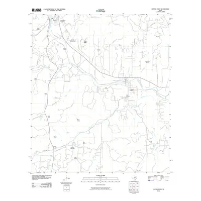
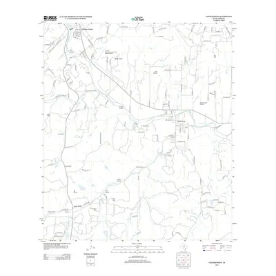
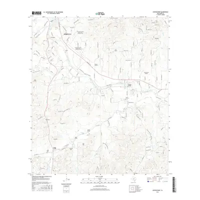
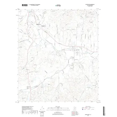
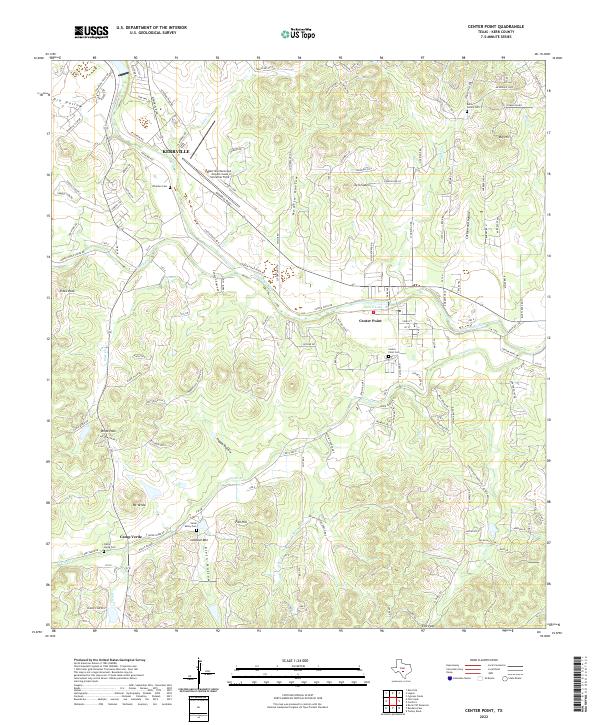 2022 Center Point2022 Print · USGSKerr County's river-bottom lands and rugged hollows are documented here during a period of modern growth. Genealogists and historians can trace family locations through sites like Center Point Cem, Bolin Family Cem, and the historic Camp Verde settlement.
 - 2022 Map of Fall Creek, 2022 Print
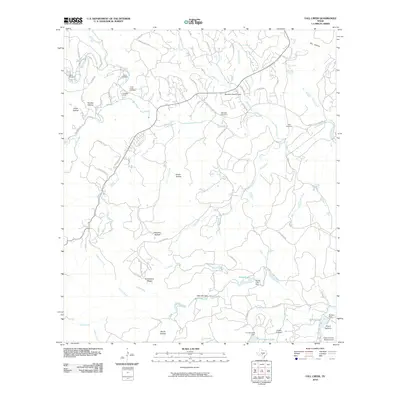
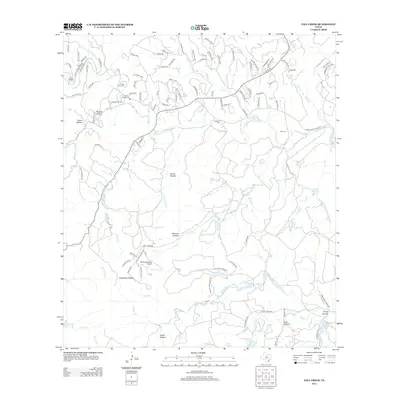
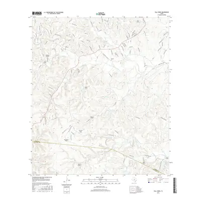
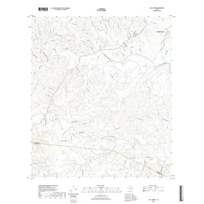
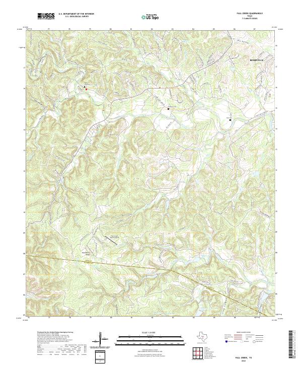 2022 Fall Creek2022 Print · USGSThe hills southwest of Kerrville come alive in this survey of ranchlands and canyon country. Genealogists and historians can trace family burial grounds at Turtle Creek Cem and Real Cem or locate the headwaters of Turtle Cr and Verde Cr.
 - 2022 Map of Kerrville, 2022 Print
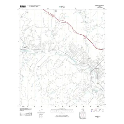
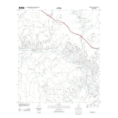
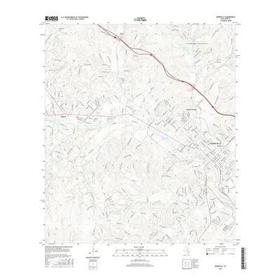
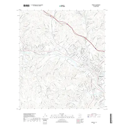
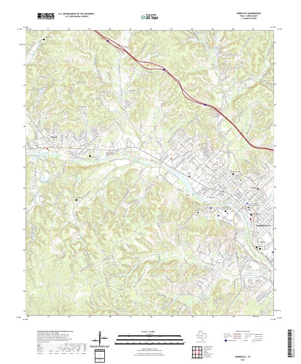 2022 Kerrville2022 Print · USGSTexas Hill Country life centers on the river and the road in this contemporary look at the Kerrville area. Researchers can trace local lineage through a high density of burial sites like Starkey Cem or locate landmarks such as Schreiner University.
 - 2022 Map of Legion, 2022 Print
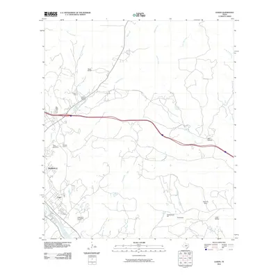
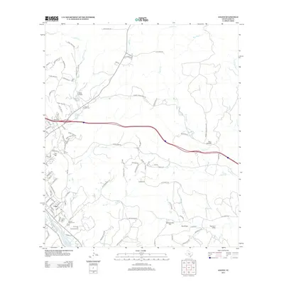
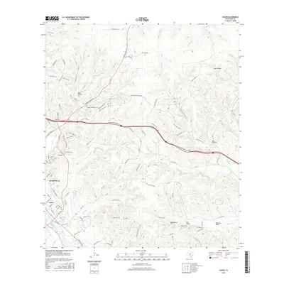
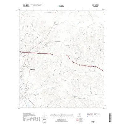
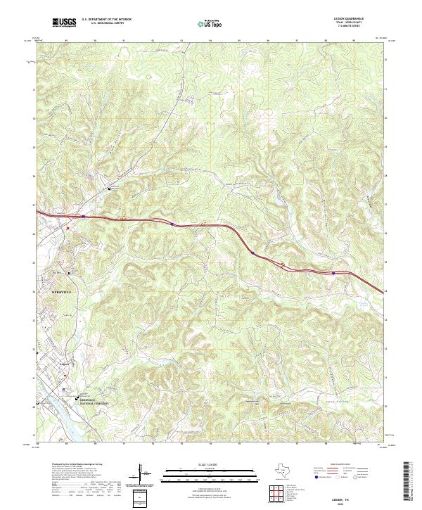 2022 Legion2022 Print · USGSKerrville and the Guadalupe River valley are captured here in the early 2020s as the area continues its transition from rural ranching to residential growth. Researchers can locate several key burial sites including Kerrville National Cem and Tivy Cem or trace family-named terrain like Haddenbrock Hill.
End of results
Showing maps 1-20 of 20
Top cities near Kerrville
- Fredericksburg historical maps
- Center Point historical maps
- Ingram historical maps
- Camp Verde historical maps
Top neighborhoods of Kerrville
Frequently asked questions
- What are the different types of historical maps available for Kerrville?
- What is the oldest map of Kerrville?
- Where can I purchase historical maps of Kerrville for my home or office?
- Where can I download high-res historical maps of Kerrville?
- Are there historical topographic maps available for Kerrville?
- Is there historical aerial imagery available for Kerrville?
- Where are historical maps of Kerrville sourced from?