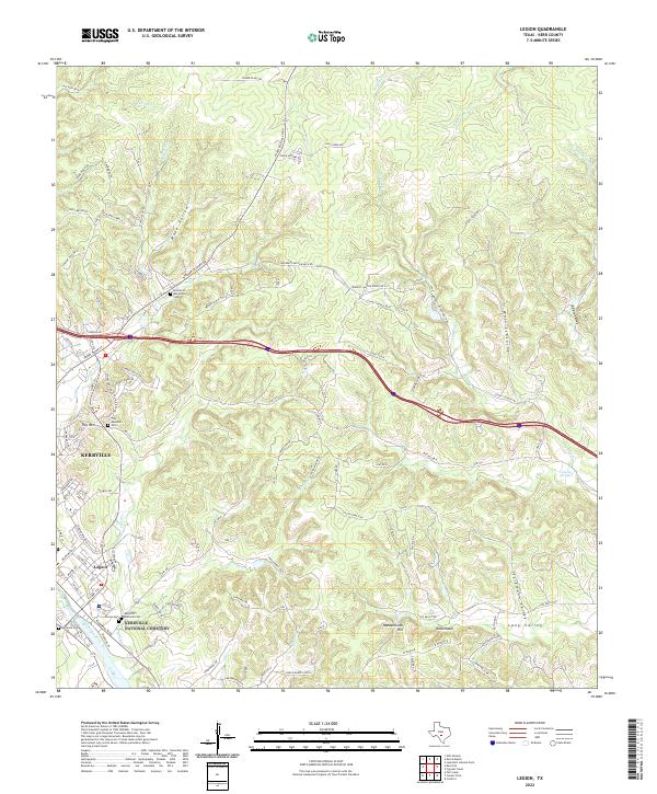
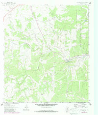
2022 Map of Legion
USGS Topo · Published 2022About this map
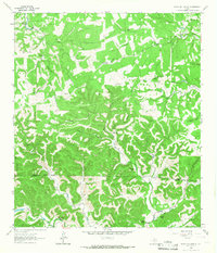
The Guadalupe River carves through this Hill Country landscape, anchoring the development of Kerrville and the neighboring community of Legion. The terrain is characterized by a dense network of creek drainages, including Quinlan Cr, Second Cr, and Third Cr, which feed into the primary river valley. This 2022 survey details a complex topography where named heights like Tivy Mtn and Ravenhead overlook deep cuts such as Wade Hollow and the narrow Wein-Schlucht.
Find a feature on this map
115 named features on this map. Tap any name to fly to it.
Don’t see what you’re looking for? This feature index may not catch every label — zoom into the map to look around manually.
Map Details
Editions of this 2022 Legion Map
This is the sole edition of this map. No revisions or reprints were ever made.
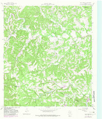
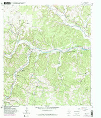
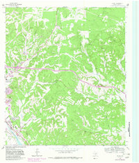
Historical Maps of Kerrville Through Time
28 maps found
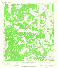
1963 Garven Store
Kerr County, TX
1963 Y O Ranch
Kerr County, TX
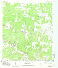
1964 Bee Caves Creek
Kerr County, TX
1964 Boneyard Draw
Kerr County, TX
1964 Contrary Creek
Kerr County, TX
1964 Cypress Creek
Kerr County, TX
1964 Diamond S Ranch
Kerr County, TX
1964 Echo Hill Ranch
Kerr County, TX
1964 Fall Creek
Kerr County, TX
1964 Hunt
Kerr County, TX
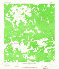
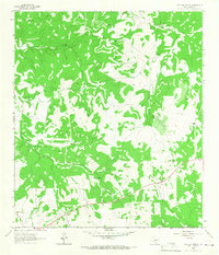
1964 Legion
Kerr County, TX
1964 Live Oak Ranch
Kerr County, TX
1964 Mountain Home
Kerr County, TX
1964 Well Hollow
Kerr County, TX
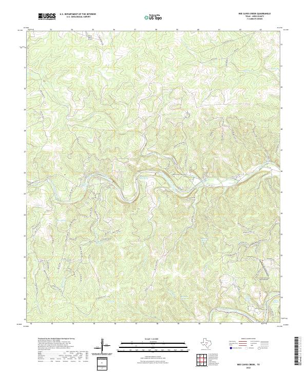
2022 Bee Caves Creek
Kerr County, TX
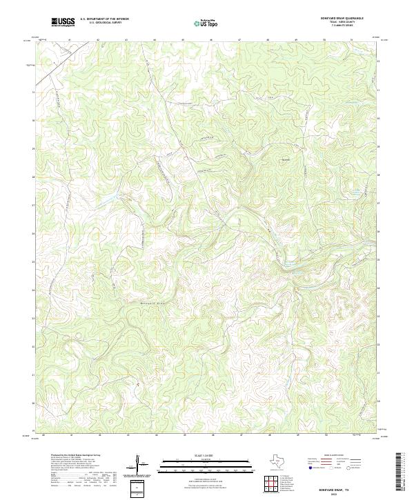
2022 Boneyard Draw
Kerr County, TX
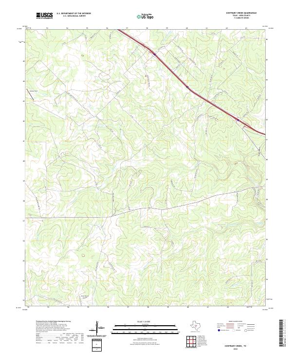
2022 Contrary Creek
Kerr County, TX
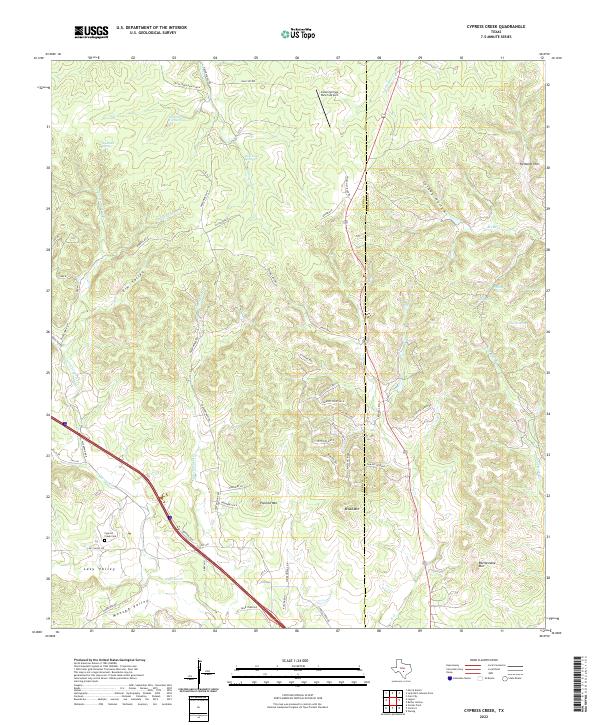
2022 Cypress Creek
Kerr County, TX
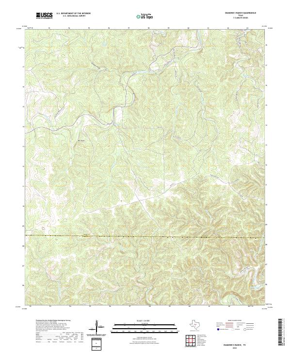
2022 Diamond S Ranch
Kerr County, TX
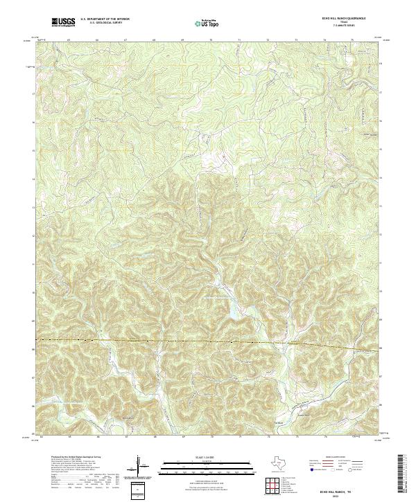
2022 Echo Hill Ranch
Kerr County, TX
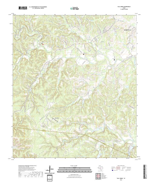
2022 Fall Creek
Kerr County, TX
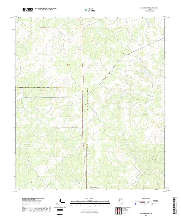
2022 Garven Store
Kerr County, TX
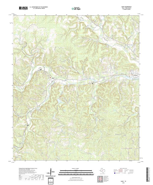
2022 Hunt
Kerr County, TX
2022 Legion
Kerr County, TX
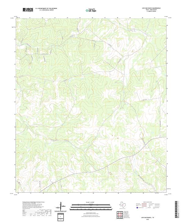
2022 Live Oak Ranch
Kerr County, TX
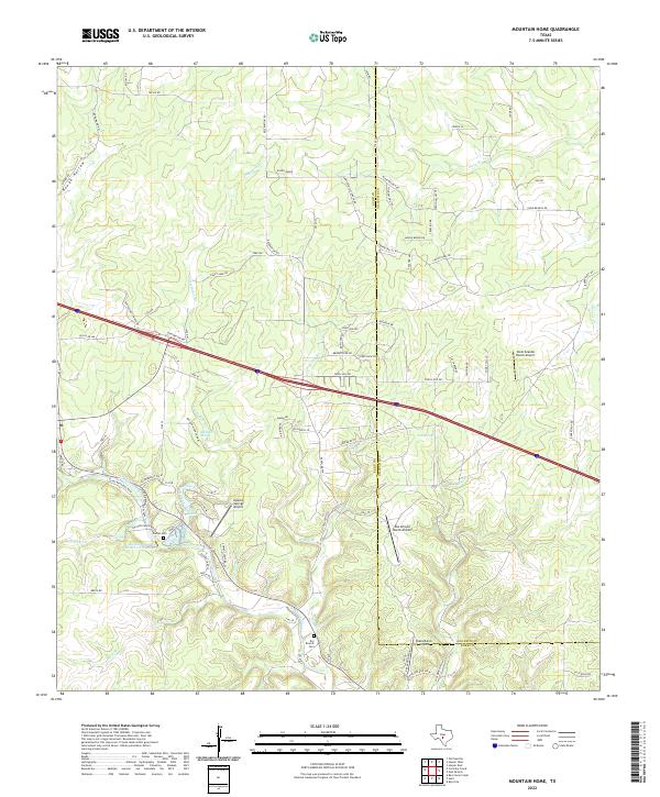
2022 Mountain Home
Kerr County, TX
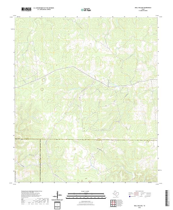
2022 Well Hollow
Kerr County, TX
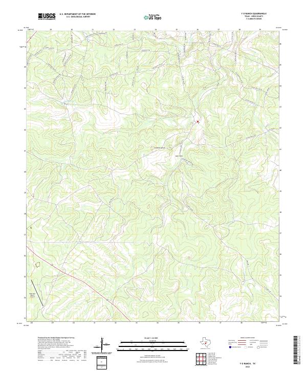
2022 Y O Ranch
Kerr County, TX