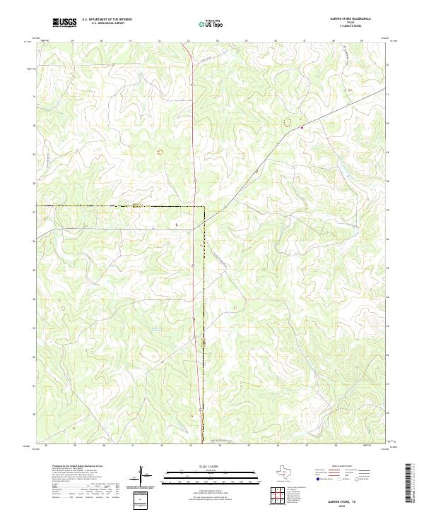
2022 Map of Garven Store
USGS Topo · Published 2022About this map
The Kerr County and Real County line bisects this portion of the Texas Hill Country, a landscape defined by sharp elevation shifts and intermittent drainage systems. The N Fork Guadalupe River makes an appearance in the northeastern corner, serving as a primary hydrological feature for the region. Much of the local geography is shaped by these seasonal water courses, including Paint Cr and the specifically identified Black Jack Waterhole. Development in the area is largely defined by large-scale ranching operations, evidenced by the network of private and secondary roads named for prominent local families and holdings, such as JM Auld Jr Ranch Rd SW and WH Cowden Ranch Rd NW. This road network illustrates the distributed nature of land ownership and the persistence of legacy ranching boundaries in this part of Texas.
Find a feature on this map
10 named features on this map. Tap any name to fly to it.
Don’t see what you’re looking for? This feature index may not catch every label — zoom into the map to look around manually.
Map Details
Editions of this 2022 Garven Store Map
This is the sole edition of this map. No revisions or reprints were ever made.
Other maps of this area

1954 · Llano
USGS Topo · 1:250,000

1954 · San Antonio
USGS Topo · 1:250,000

1955 · Llano
USGS Topo · 1:250,000

1956 · Llano
USGS Topo · 1:250,000

1957 · San Antonio
USGS Topo · 1:250,000

1963 · Garven Store
USGS Topo · 1:24,000

1963 · Y O Ranch
USGS Topo · 1:24,000

1964 · Hillcrest Ranch
USGS Topo · 1:24,000

1964 · Boneyard Draw
USGS Topo · 1:24,000

1964 · Well Hollow
USGS Topo · 1:24,000