
1963 Map of Y O Ranch
USGS Topo · Published 1968About this map
The Y O Ranch landscape in the early 1960s was defined by a specialized ranching infrastructure essential for survival in the Texas Hill Country. The prevalence of water-drawing sites like Bee Cave Windmill, Shearing Barn Windmill, and Bundy Tank across the terrain reveals a high-intensity livestock operation reliant on subterranean water. In this era, the ranch was already modernized with its own Landing Strip and specialized features like the Deer Park and Gobblers Knob, suggesting a transition toward the diverse hunting and land-use activities for which the property became renowned.
Find a feature on this map
28 named features on this map. Tap any name to fly to it.
Don’t see what you’re looking for? This feature index may not catch every label — zoom into the map to look around manually.
Map Details
Editions of this 1963 Y O Ranch Map
2 editions found
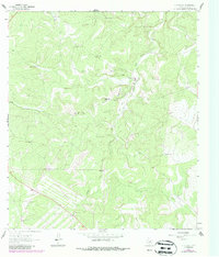
Other maps of this area

1932 · Junction
USGS Topo · 1:62,500

1954 · Llano
USGS Topo · 1:250,000

1955 · Llano
USGS Topo · 1:250,000

1956 · Llano
USGS Topo · 1:250,000

1963 · Garven Store
USGS Topo · 1:24,000

1964 · Boneyard Draw
USGS Topo · 1:24,000

1964 · Live Oak Ranch
USGS Topo · 1:24,000
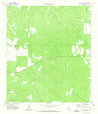
1971 · Earwood Creek
USGS Topo · 1:24,000
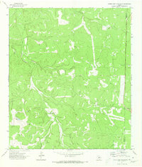
1971 · Horse Camp Waterhole
USGS Topo · 1:24,000
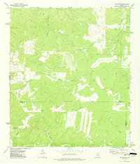
1974 · Junction SE
USGS Topo · 1:24,000