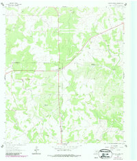
1963 Map of Garven Store
USGS Topo · Published 1987About this map
Garven Store serves as a central landmark for this high-plateau region of the Edwards Plateau along the Kerr and Real county line. Surveyed in 1963 and later updated in the 1980s, the landscape is defined by its water management and connectivity in a region where surface water is scarce. Local life centers on the Divide Community House, while the presence of a Landing Strip and a modern Pipeline suggests the integration of ranching with mid-century industrial needs.
Find a feature on this map
13 named features on this map. Tap any name to fly to it.
Don’t see what you’re looking for? This feature index may not catch every label — zoom into the map to look around manually.
Map Details
Editions of this 1963 Garven Store Map
2 editions found
Other maps of this area

1954 · Llano
USGS Topo · 1:250,000

1954 · San Antonio
USGS Topo · 1:250,000

1955 · Llano
USGS Topo · 1:250,000

1956 · Llano
USGS Topo · 1:250,000

1957 · San Antonio
USGS Topo · 1:250,000

1963 · Garven Store
USGS Topo · 1:24,000

1963 · Y O Ranch
USGS Topo · 1:24,000

1964 · Hillcrest Ranch
USGS Topo · 1:24,000

1964 · Boneyard Draw
USGS Topo · 1:24,000

1964 · Well Hollow
USGS Topo · 1:24,000