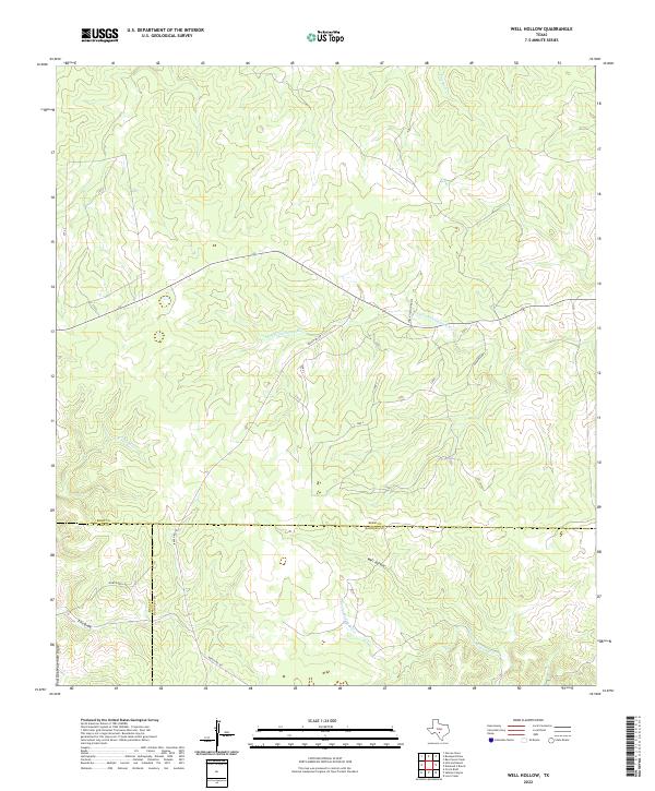
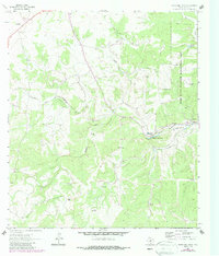
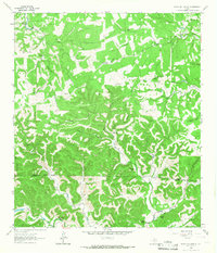
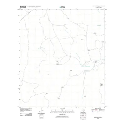
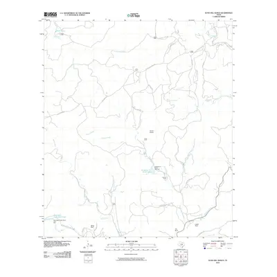
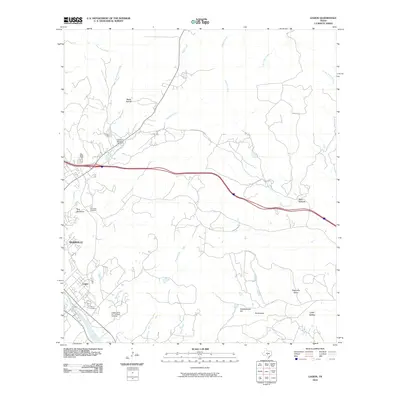
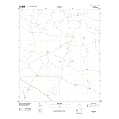
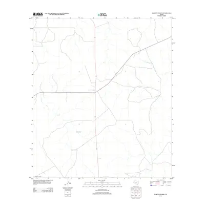
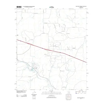
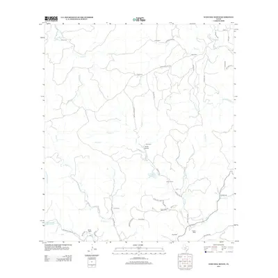
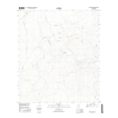
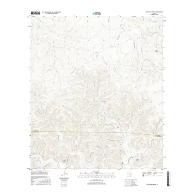
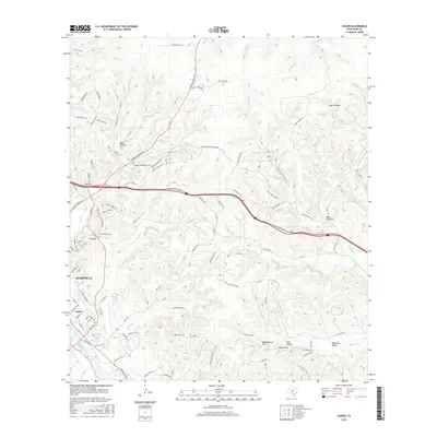
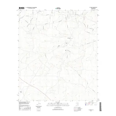
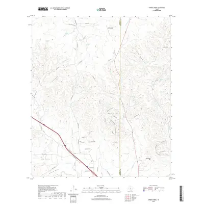
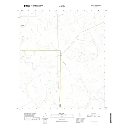
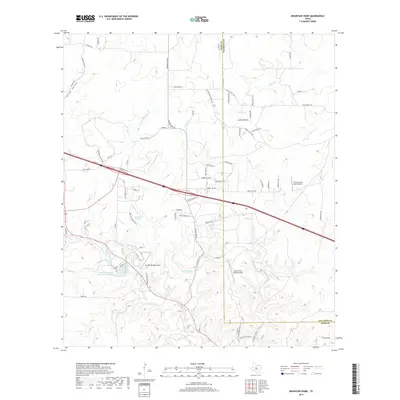
2022 Map of Well Hollow
USGS Topo · Published 2022About this map
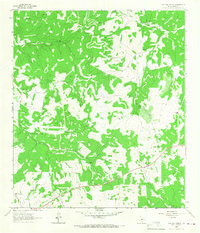
The S Fork Guadalupe River and the E Frio River headwaters converge near the dramatic tri-county intersection of Kerr, Real, and Bandera. This high-country landscape is defined by its complex drainage systems, where Frio Draw and Post Oak Waterhole Draw carve through the limestone terrain. The topography is anchored by the namesake Well Hollow, situated in a region where local infrastructure is sparse, primarily consisting of remote routes like Haby Ranch Rd and Ranch Rd 187. To the east, the N Prong Medina River begins its descent, illustrating the critical role this area plays as a hydrological divide for several major Texas river systems. The map captures a moment in the early 2020s, documenting established ranch access roads and protected watersheds within these rugged Hill Country highlands.
Find a feature on this map
14 named features on this map. Tap any name to fly to it.
Don’t see what you’re looking for? This feature index may not catch every label — zoom into the map to look around manually.
Map Details
Editions of this 2022 Well Hollow Map
This is the sole edition of this map. No revisions or reprints were ever made.
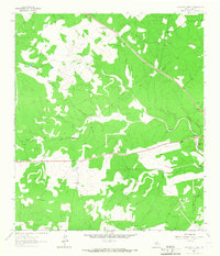
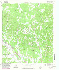
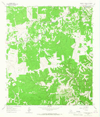
Historical Maps of Kerr County Through Time
84 maps found
1963 Garven Store
Kerr County, TX
1963 Y O Ranch
Kerr County, TX
1964 Bee Caves Creek
Kerr County, TX
1964 Boneyard Draw
Kerr County, TX
1964 Contrary Creek
Kerr County, TX
1964 Cypress Creek
Kerr County, TX
1964 Diamond S Ranch
Kerr County, TX
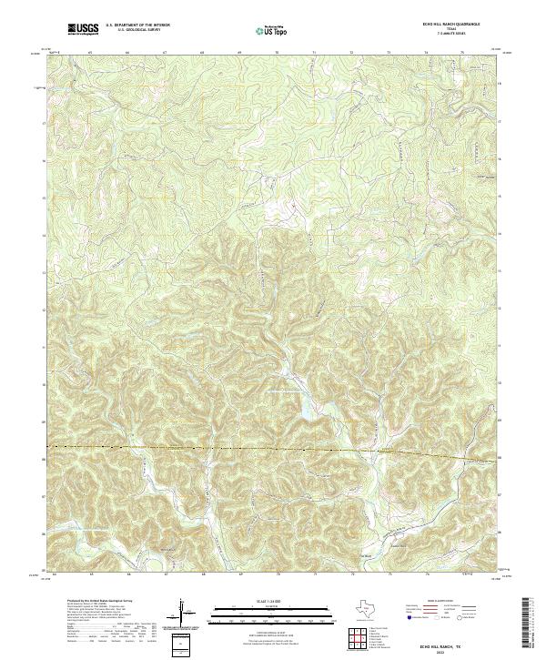
1964 Echo Hill Ranch
Kerr County, TX
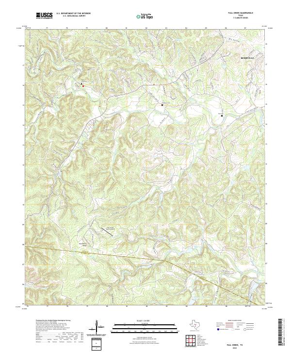
1964 Fall Creek
Kerr County, TX
1964 Hunt
Kerr County, TX
1964 Legion
Kerr County, TX
1964 Live Oak Ranch
Kerr County, TX
1964 Mountain Home
Kerr County, TX
1964 Well Hollow
Kerr County, TX
2010 Bee Caves Creek
Kerr County, TX
2010 Boneyard Draw
Kerr County, TX
2010 Contrary Creek
Kerr County, TX
2010 Cypress Creek
Kerr County, TX
2010 Diamond S Ranch
Kerr County, TX
2010 Echo Hill Ranch
Kerr County, TX
2010 Fall Creek
Kerr County, TX
2010 Garven Store
Kerr County, TX
2010 Hunt
Kerr County, TX
2010 Legion
Kerr County, TX
2010 Live Oak Ranch
Kerr County, TX
2010 Mountain Home
Kerr County, TX
2010 Well Hollow
Kerr County, TX
2010 Y O Ranch
Kerr County, TX
2012 Bee Caves Creek
Kerr County, TX
2012 Contrary Creek
Kerr County, TX
2012 Cypress Creek
Kerr County, TX
2012 Garven Store
Kerr County, TX
2012 Hunt
Kerr County, TX
2012 Legion
Kerr County, TX
2012 Live Oak Ranch
Kerr County, TX
2012 Mountain Home
Kerr County, TX
2012 Y O Ranch
Kerr County, TX
2013 Boneyard Draw
Kerr County, TX
2013 Diamond S Ranch
Kerr County, TX
2013 Echo Hill Ranch
Kerr County, TX
2013 Fall Creek
Kerr County, TX
2013 Well Hollow
Kerr County, TX
2016 Bee Caves Creek
Kerr County, TX
2016 Boneyard Draw
Kerr County, TX
2016 Contrary Creek
Kerr County, TX
2016 Cypress Creek
Kerr County, TX
2016 Diamond S Ranch
Kerr County, TX
2016 Echo Hill Ranch
Kerr County, TX
2016 Fall Creek
Kerr County, TX
2016 Garven Store
Kerr County, TX
2016 Hunt
Kerr County, TX
2016 Legion
Kerr County, TX
2016 Live Oak Ranch
Kerr County, TX
2016 Mountain Home
Kerr County, TX
2016 Well Hollow
Kerr County, TX
2016 Y O Ranch
Kerr County, TX
2019 Bee Caves Creek
Kerr County, TX
2019 Boneyard Draw
Kerr County, TX
2019 Contrary Creek
Kerr County, TX
2019 Cypress Creek
Kerr County, TX
2019 Diamond S Ranch
Kerr County, TX
2019 Echo Hill Ranch
Kerr County, TX
2019 Fall Creek
Kerr County, TX
2019 Garven Store
Kerr County, TX
2019 Hunt
Kerr County, TX
2019 Legion
Kerr County, TX
2019 Live Oak Ranch
Kerr County, TX
2019 Mountain Home
Kerr County, TX
2019 Well Hollow
Kerr County, TX
2019 Y O Ranch
Kerr County, TX
2022 Bee Caves Creek
Kerr County, TX
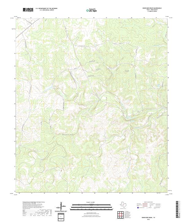
2022 Boneyard Draw
Kerr County, TX
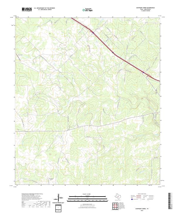
2022 Contrary Creek
Kerr County, TX
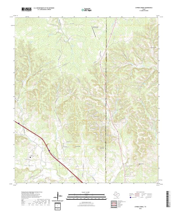
2022 Cypress Creek
Kerr County, TX
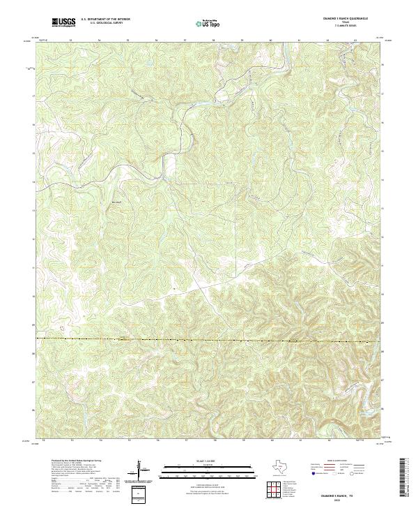
2022 Diamond S Ranch
Kerr County, TX
2022 Echo Hill Ranch
Kerr County, TX
2022 Fall Creek
Kerr County, TX
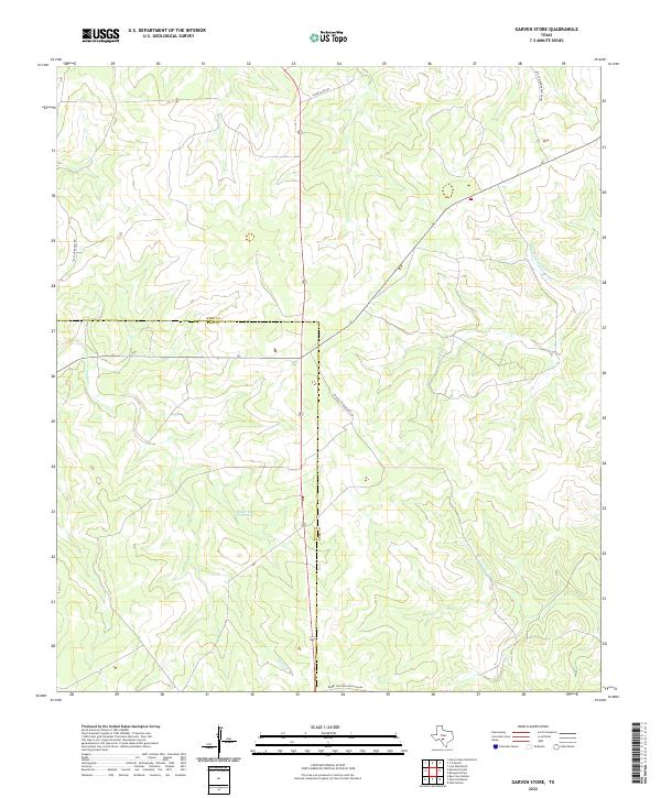
2022 Garven Store
Kerr County, TX
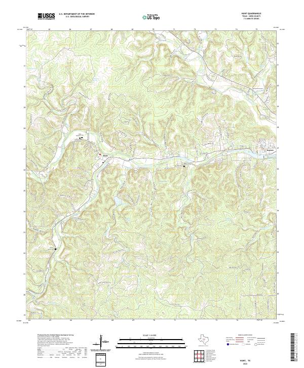
2022 Hunt
Kerr County, TX
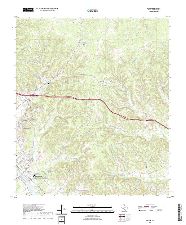
2022 Legion
Kerr County, TX
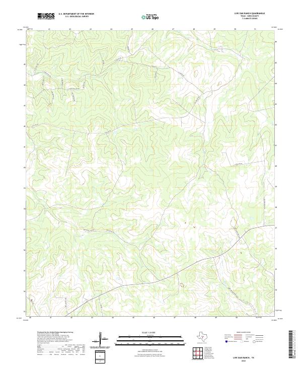
2022 Live Oak Ranch
Kerr County, TX
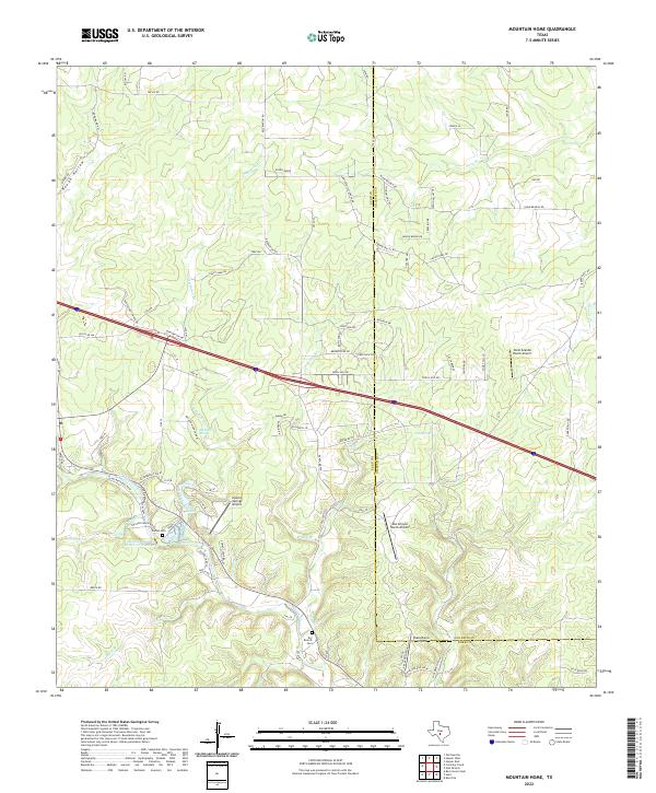
2022 Mountain Home
Kerr County, TX
2022 Well Hollow
Kerr County, TX
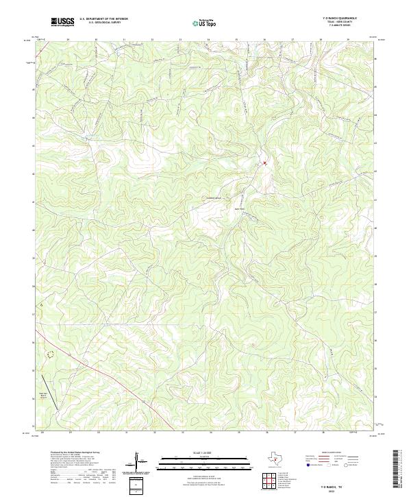
2022 Y O Ranch
Kerr County, TX