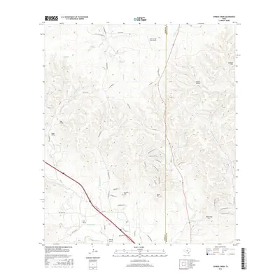
2016 Map of Cypress Creek
USGS Topo · Published 2016About this map
The hills and drainage basins along the Kerr and Kendall County line define this Texas Hill Country landscape. Numerous named water sources, including Dipping Vat Spring, Sycamore Spring, and Neal Spring, indicate the historical importance of water access for local ranching and settlement. The terrain is deeply corrugated with landmarks such as Pointed Mtn, Broad Mtn, and Rattlesnake Mtn rising above lowlands like Elm Valley and Lazy Valley.
Find a feature on this map
59 named features on this map. Tap any name to fly to it.
Don’t see what you’re looking for? This feature index may not catch every label — zoom into the map to look around manually.
Map Details
Editions of this 2016 Cypress Creek Map
This is the sole edition of this map. No revisions or reprints were ever made.
Other maps of this area

1894 · Fredericksburg
USGS Topo · 1:125,000

1894 · Kerrville
USGS Topo · 1:125,000

1954 · Llano
USGS Topo · 1:250,000

1954 · San Antonio
USGS Topo · 1:250,000

1955 · Llano
USGS Topo · 1:250,000

1956 · Comfort
USGS Topo · 1:62,500

1956 · Center Point
USGS Topo · 1:62,500

1956 · Llano
USGS Topo · 1:250,000

1957 · San Antonio
USGS Topo · 1:250,000

1963 · Cain City
USGS Topo · 1:24,000