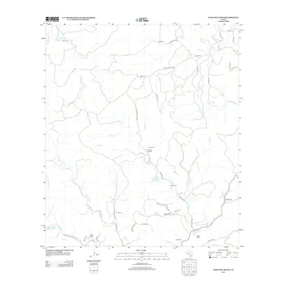
2013 Map of Echo Hill Ranch
USGS Topo · Published 2013About this map
Echo Hill Ranch and numerous family-named properties define the rural landscape of this Kerr County region in 2013. The map reveals a settlement pattern built around sprawling ranch lands, including the H Real Ranch, L Real Ranch, and Porter Ranch. These holdings are carved by a dense network of seasonal and permanent waterways like Cypress Creek, Johnson Creek, and Wallace Creek, which dictate the placement of ranch roads and valley crossings. Notable landmarks like Castle Rock and the prominent Turkey Hollow provide topographic orientation for local land management. The presence of several small water bodies, such as Ed Werner 71 Ranch Lake and the Brewington Cr Ranch Lake, highlights the importance of water storage in this section of the Texas Hill Country.
Find a feature on this map
59 named features on this map. Tap any name to fly to it.
Don’t see what you’re looking for? This feature index may not catch every label — zoom into the map to look around manually.
Map Details
Editions of this 2013 Echo Hill Ranch Map
This is the sole edition of this map. No revisions or reprints were ever made.
Other maps of this area
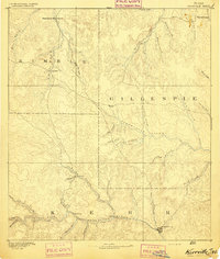
1894 · Kerrville
USGS Topo · 1:125,000
1954 · Llano
USGS Topo · 1:250,000
1954 · San Antonio
USGS Topo · 1:250,000
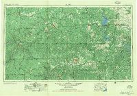
1955 · Llano
USGS Topo · 1:250,000
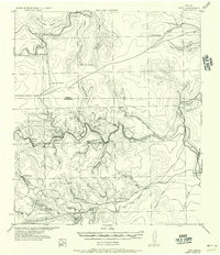
1956 · Tuff
USGS Topo · 1:62,500
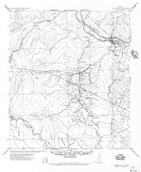
1956 · Center Point
USGS Topo · 1:62,500
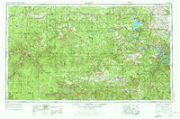
1956 · Llano
USGS Topo · 1:250,000
1957 · San Antonio
USGS Topo · 1:250,000
1964 · Diamond S Ranch
USGS Topo · 1:24,000
1964 · Echo Hill Ranch
USGS Topo · 1:24,000