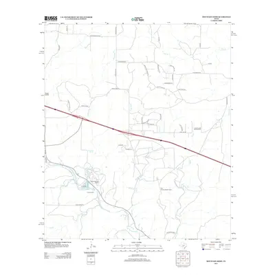
2012 Map of Mountain Home
USGS Topo · Published 2012About this map
Tecaboca Camp and the winding course of Johnson Cr define this area of the Texas Hill Country in the early 21st century. The landscape is characterized by a network of ranch roads and private landing strips, including Apache Springs Airport, Cielo Grande Ranch Airport, and Dos Arroyos Ranch Airport, indicating the expansive rural estates of the region. Natural water sources are prevalent, with Fall Springs and Ellebracht Springs feeding into numerous branches such as Fall Br and Klein Br. Local history is anchored by the Sunset Cem and family-named landmarks like Shelton-Ranches Reservoir Number 2. The terrain transitions from the elevations of Rough Hollow down to the creek beds, reflecting a pastoral economy centered on large-scale ranching and private aviation.
Find a feature on this map
50 named features on this map. Tap any name to fly to it.
Don’t see what you’re looking for? This feature index may not catch every label — zoom into the map to look around manually.
Map Details
Editions of this 2012 Mountain Home Map
This is the sole edition of this map. No revisions or reprints were ever made.
Other maps of this area

1894 · Kerrville
USGS Topo · 1:125,000

1954 · Llano
USGS Topo · 1:250,000

1955 · Llano
USGS Topo · 1:250,000

1956 · Llano
USGS Topo · 1:250,000

1964 · Nott Branch
USGS Topo · 1:24,000
1964 · Contrary Creek
USGS Topo · 1:24,000
1964 · Kerrville
USGS Topo · 1:24,000
1964 · Bee Caves Creek
USGS Topo · 1:24,000
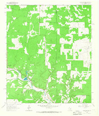
1964 · Mountain Home
USGS Topo · 1:24,000
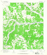
1964 · Hunt
USGS Topo · 1:24,000