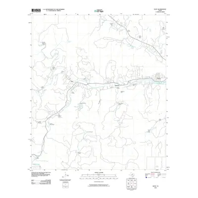
2010 Map of Hunt
USGS Topo · Published 2010About this map
The confluence of the North Fork Guadalupe River and the South Fork Guadalupe River defines the community of Hunt, creating a landscape historically shaped by water and recreation. This 2010 survey illustrates a high density of youth camps and family ranches that have characterized this portion of the Texas Hill Country for decades. Facilities such as Camp LaJunta, Camp Stewart, Camp Rio Vista, and Camp Arrowhead line the riverbanks, utilizing the natural geography of the limestone riverbeds and spring-fed streams like Whetstone Spring.
Find a feature on this map
42 named features on this map. Tap any name to fly to it.
Don’t see what you’re looking for? This feature index may not catch every label — zoom into the map to look around manually.
Map Details
Editions of this 2010 Hunt Map
This is the sole edition of this map. No revisions or reprints were ever made.
Other maps of this area

1894 · Kerrville
USGS Topo · 1:125,000

1954 · Llano
USGS Topo · 1:250,000

1954 · San Antonio
USGS Topo · 1:250,000

1955 · Llano
USGS Topo · 1:250,000

1956 · Tuff
USGS Topo · 1:62,500

1956 · Center Point
USGS Topo · 1:62,500

1956 · Llano
USGS Topo · 1:250,000

1957 · San Antonio
USGS Topo · 1:250,000

1964 · Nott Branch
USGS Topo · 1:24,000

1964 · Diamond S Ranch
USGS Topo · 1:24,000