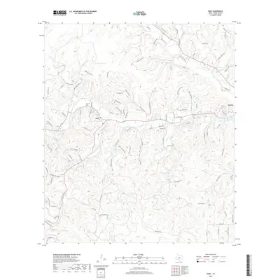
2019 Map of Hunt
USGS Topo · Published 2019About this map
Hunt serves as the focal point of this Kerr County landscape, situated at the significant confluence where the N Fork Guadalupe River and S Fork Guadalupe River meet. This water-rich geography is further defined by numerous tributaries such as Johnson Cr and Tegener Cr, along with notable water sources like Whetstone Spring and Tegener Springs. The presence of Lake Old Ingram and Dam J Lake near the eastern settlement of Ingram indicates a history of managed water resources in the Texas Hill Country.
Find a feature on this map
98 named features on this map. Tap any name to fly to it.
Don’t see what you’re looking for? This feature index may not catch every label — zoom into the map to look around manually.
Map Details
Editions of this 2019 Hunt Map
This is the sole edition of this map. No revisions or reprints were ever made.
Other maps of this area

1894 · Kerrville
USGS Topo · 1:125,000

1954 · Llano
USGS Topo · 1:250,000

1954 · San Antonio
USGS Topo · 1:250,000

1955 · Llano
USGS Topo · 1:250,000

1956 · Tuff
USGS Topo · 1:62,500

1956 · Center Point
USGS Topo · 1:62,500

1956 · Llano
USGS Topo · 1:250,000

1957 · San Antonio
USGS Topo · 1:250,000

1964 · Nott Branch
USGS Topo · 1:24,000

1964 · Diamond S Ranch
USGS Topo · 1:24,000