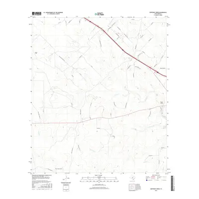
2016 Map of Contrary Creek
USGS Topo · Published 2016About this map
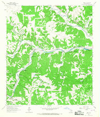
Contrary Creek and its namesake Contrary Spring define the drainage patterns of this high-elevation plateau region in Kerr County. The landscape is marked by a network of ranching roads and aviation landmarks, most notably the Priour Ranch Airport and Goebel Field, which reflect the logistical nature of managing large landholdings in this part of Texas. Multiple watercourses, including the Little Devils River, Johnson Cr, and Spring Cr, carve through the terrain, leading toward significant depressions like Rough Hollow. This 2016 survey illustrates the modern division of land through various private ranch roads such as Morris Ranch Rd and Thomas Ranch Rd NW, showing how transportation in this area remains tied to historical property boundaries and the natural flow of the local creeks.
Find a feature on this map
53 named features on this map. Tap any name to fly to it.
Don’t see what you’re looking for? This feature index may not catch every label — zoom into the map to look around manually.
Map Details
Editions of this 2016 Contrary Creek Map
This is the sole edition of this map. No revisions or reprints were ever made.
Other maps of this area

1894 · Kerrville
USGS Topo · 1:125,000

1954 · Llano
USGS Topo · 1:250,000

1955 · Llano
USGS Topo · 1:250,000

1956 · Llano
USGS Topo · 1:250,000

1964 · Boneyard Draw
USGS Topo · 1:24,000
1964 · Contrary Creek
USGS Topo · 1:24,000
1964 · Bee Caves Creek
USGS Topo · 1:24,000

1964 · Live Oak Ranch
USGS Topo · 1:24,000
1964 · Mountain Home
USGS Topo · 1:24,000
1964 · Hunt
USGS Topo · 1:24,000