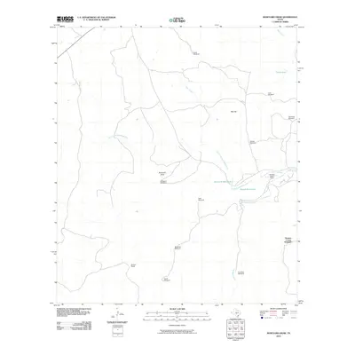
2010 Map of Boneyard Draw
USGS Topo · Published 2010About this map
The North Fork Guadalupe River winds through this section of the Texas Hill Country, defining a landscape marked by ranching infrastructure and intermittent water sources. Named drainage systems like Boneyard Draw and Indian Creek feed into the river valley, where landmarks such as Boneyard Waterhole and Bonnie Belle Lake provide essential focal points in the terrain. The presence of Stowers Ranch Airport and the Benson Ranch signifies the continuing legacy of large-scale landholdings in Kerr County.
Find a feature on this map
20 named features on this map. Tap any name to fly to it.
Don’t see what you’re looking for? This feature index may not catch every label — zoom into the map to look around manually.
Map Details
Editions of this 2010 Boneyard Draw Map
This is the sole edition of this map. No revisions or reprints were ever made.
Other maps of this area

1894 · Kerrville
USGS Topo · 1:125,000

1954 · Llano
USGS Topo · 1:250,000

1954 · San Antonio
USGS Topo · 1:250,000

1955 · Llano
USGS Topo · 1:250,000

1956 · Tuff
USGS Topo · 1:62,500

1956 · Llano
USGS Topo · 1:250,000

1957 · San Antonio
USGS Topo · 1:250,000

1963 · Garven Store
USGS Topo · 1:24,000

1963 · Y O Ranch
USGS Topo · 1:24,000

1964 · Hillcrest Ranch
USGS Topo · 1:24,000