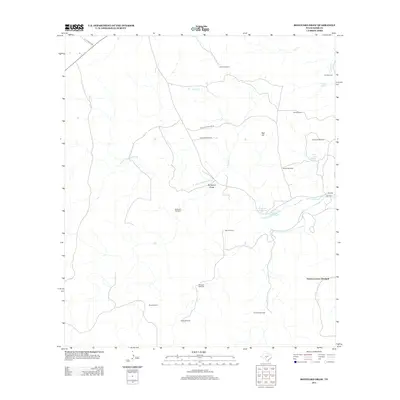
2013 Map of Boneyard Draw
USGS Topo · Published 2013About this map
The N Fork Guadalupe River and its tributary Boneyard Draw define the topography of this Kerr County landscape. Water management is the primary human footprint here, as evidenced by a dense network of windmills including Stowers Corner Windmill, Sampson Windmill, and Bobcat Windmill across the range. These points, along with named ranching sites like the Benson Ranch, provide essential markers for local history and land-use studies in this portion of the Texas Hill Country.
Find a feature on this map
26 named features on this map. Tap any name to fly to it.
Don’t see what you’re looking for? This feature index may not catch every label — zoom into the map to look around manually.
Map Details
Editions of this 2013 Boneyard Draw Map
This is the sole edition of this map. No revisions or reprints were ever made.
Other maps of this area

1894 · Kerrville
USGS Topo · 1:125,000

1954 · Llano
USGS Topo · 1:250,000

1954 · San Antonio
USGS Topo · 1:250,000

1955 · Llano
USGS Topo · 1:250,000

1956 · Tuff
USGS Topo · 1:62,500

1956 · Llano
USGS Topo · 1:250,000

1957 · San Antonio
USGS Topo · 1:250,000

1963 · Garven Store
USGS Topo · 1:24,000

1963 · Y O Ranch
USGS Topo · 1:24,000

1964 · Hillcrest Ranch
USGS Topo · 1:24,000