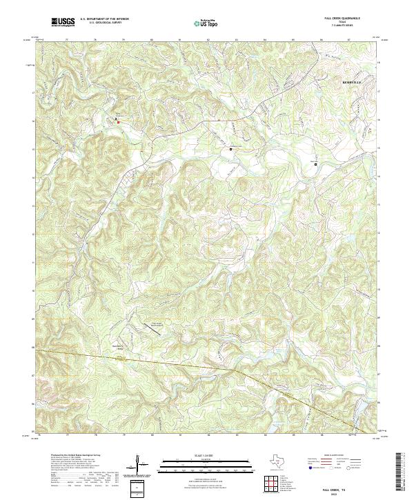
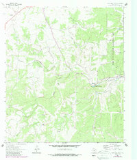
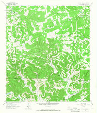
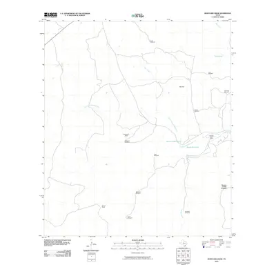
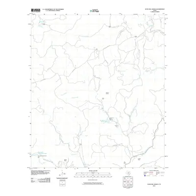
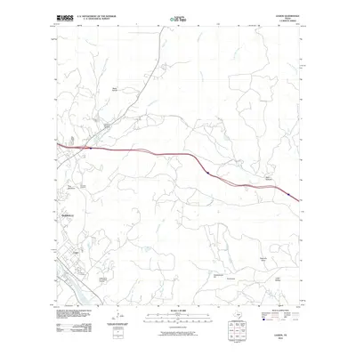
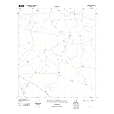
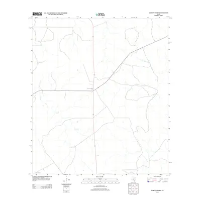
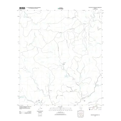
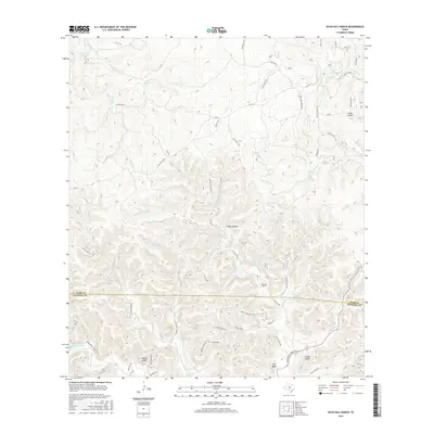
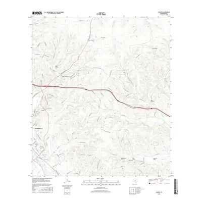
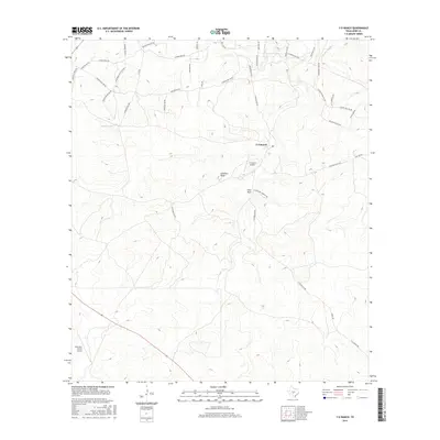
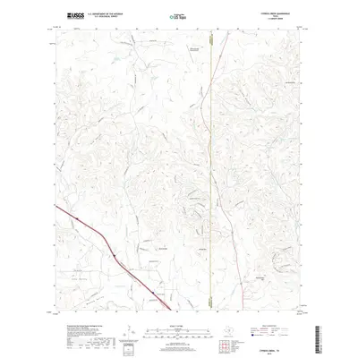
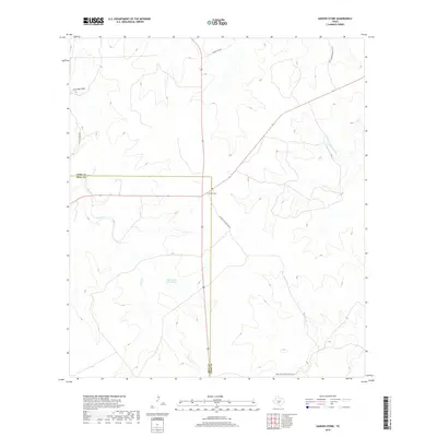
2022 Map of Fall Creek
USGS Topo · Published 2022About this map
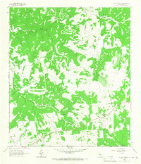
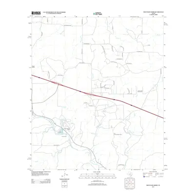
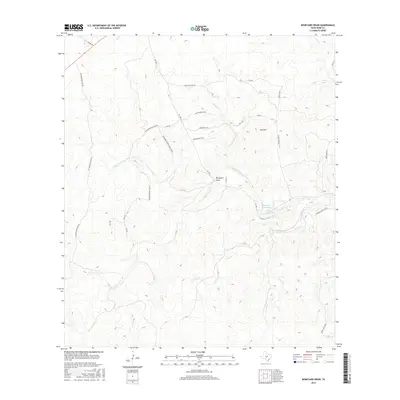
Turtle Creek Cem and Habecker Cem sit atop the elevated divides of the Texas Hill Country, marking the legacy of early ranching families in the canyonlands southwest of Kerrville. The landscape is defined by a dense network of seasonal drainages including Turtle Cr, Fall Cr, and Verde Cr, which carve through deep hollows like Mexican Hollow and Coker Hollow. The transition from the high ridges of Huntsberry Ridge to the lower basins is marked by several impoundments such as Falls Lake and Roden Lake, indicating modern water management and recreational land use. The presence of the Fall Creek Ranch Airport and organizations like Camp Chrysalis alongside established burial grounds like Real Cem illustrates the intersection of traditional landholdings with 21st-century development and institutional presence.
Find a feature on this map
119 named features on this map. Tap any name to fly to it.
Don’t see what you’re looking for? This feature index may not catch every label — zoom into the map to look around manually.
Map Details
Editions of this 2022 Fall Creek Map
This is the sole edition of this map. No revisions or reprints were ever made.
Historical Maps of Kerrville Through Time
84 maps found
1963 Garven Store
Kerr County, TX
1963 Y O Ranch
Kerr County, TX
1964 Bee Caves Creek
Kerr County, TX
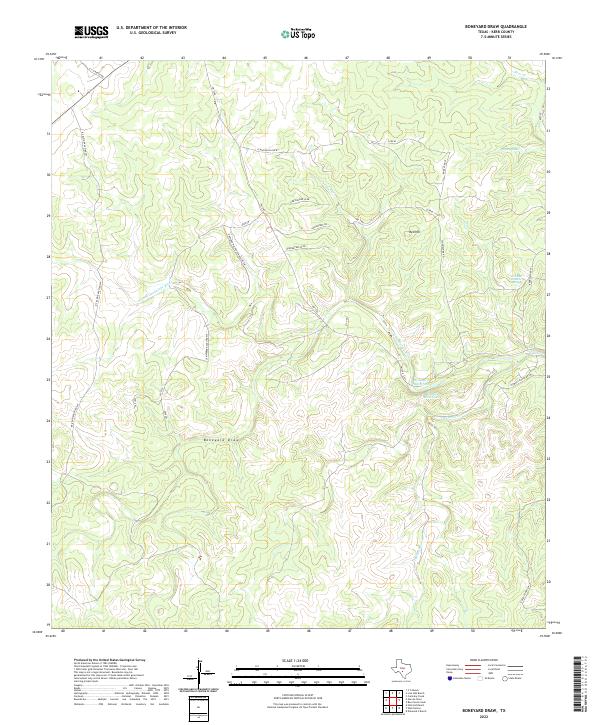
1964 Boneyard Draw
Kerr County, TX
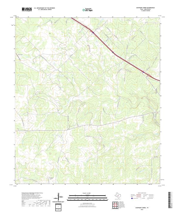
1964 Contrary Creek
Kerr County, TX
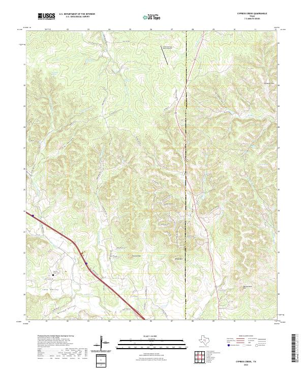
1964 Cypress Creek
Kerr County, TX
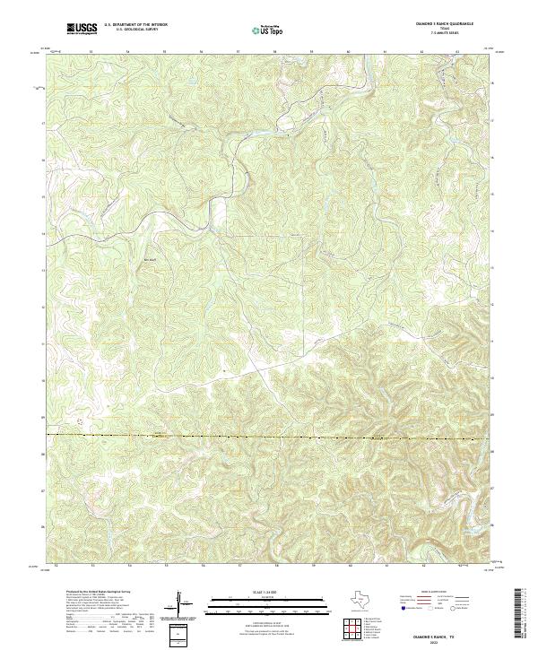
1964 Diamond S Ranch
Kerr County, TX
1964 Echo Hill Ranch
Kerr County, TX
1964 Fall Creek
Kerr County, TX
1964 Hunt
Kerr County, TX
1964 Legion
Kerr County, TX
1964 Live Oak Ranch
Kerr County, TX
1964 Mountain Home
Kerr County, TX
1964 Well Hollow
Kerr County, TX
2010 Bee Caves Creek
Kerr County, TX
2010 Boneyard Draw
Kerr County, TX
2010 Contrary Creek
Kerr County, TX
2010 Cypress Creek
Kerr County, TX
2010 Diamond S Ranch
Kerr County, TX
2010 Echo Hill Ranch
Kerr County, TX
2010 Fall Creek
Kerr County, TX
2010 Garven Store
Kerr County, TX
2010 Hunt
Kerr County, TX
2010 Legion
Kerr County, TX
2010 Live Oak Ranch
Kerr County, TX
2010 Mountain Home
Kerr County, TX
2010 Well Hollow
Kerr County, TX
2010 Y O Ranch
Kerr County, TX
2012 Bee Caves Creek
Kerr County, TX
2012 Contrary Creek
Kerr County, TX
2012 Cypress Creek
Kerr County, TX
2012 Garven Store
Kerr County, TX
2012 Hunt
Kerr County, TX
2012 Legion
Kerr County, TX
2012 Live Oak Ranch
Kerr County, TX
2012 Mountain Home
Kerr County, TX
2012 Y O Ranch
Kerr County, TX
2013 Boneyard Draw
Kerr County, TX
2013 Diamond S Ranch
Kerr County, TX
2013 Echo Hill Ranch
Kerr County, TX
2013 Fall Creek
Kerr County, TX
2013 Well Hollow
Kerr County, TX
2016 Bee Caves Creek
Kerr County, TX
2016 Boneyard Draw
Kerr County, TX
2016 Contrary Creek
Kerr County, TX
2016 Cypress Creek
Kerr County, TX
2016 Diamond S Ranch
Kerr County, TX
2016 Echo Hill Ranch
Kerr County, TX
2016 Fall Creek
Kerr County, TX
2016 Garven Store
Kerr County, TX
2016 Hunt
Kerr County, TX
2016 Legion
Kerr County, TX
2016 Live Oak Ranch
Kerr County, TX
2016 Mountain Home
Kerr County, TX
2016 Well Hollow
Kerr County, TX
2016 Y O Ranch
Kerr County, TX
2019 Bee Caves Creek
Kerr County, TX
2019 Boneyard Draw
Kerr County, TX
2019 Contrary Creek
Kerr County, TX
2019 Cypress Creek
Kerr County, TX
2019 Diamond S Ranch
Kerr County, TX
2019 Echo Hill Ranch
Kerr County, TX
2019 Fall Creek
Kerr County, TX
2019 Garven Store
Kerr County, TX
2019 Hunt
Kerr County, TX
2019 Legion
Kerr County, TX
2019 Live Oak Ranch
Kerr County, TX
2019 Mountain Home
Kerr County, TX
2019 Well Hollow
Kerr County, TX
2019 Y O Ranch
Kerr County, TX
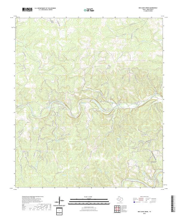
2022 Bee Caves Creek
Kerr County, TX
2022 Boneyard Draw
Kerr County, TX
2022 Contrary Creek
Kerr County, TX
2022 Cypress Creek
Kerr County, TX
2022 Diamond S Ranch
Kerr County, TX
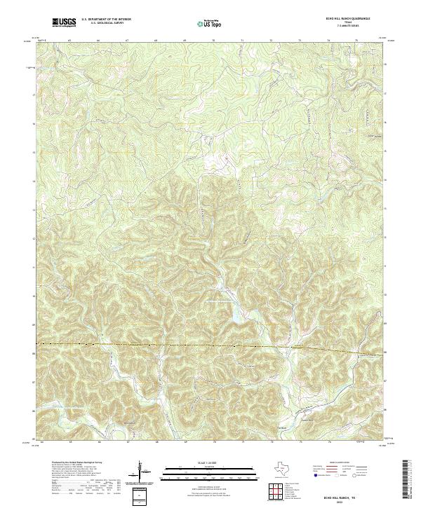
2022 Echo Hill Ranch
Kerr County, TX
2022 Fall Creek
Kerr County, TX
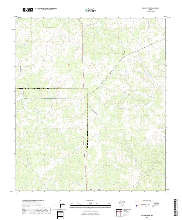
2022 Garven Store
Kerr County, TX
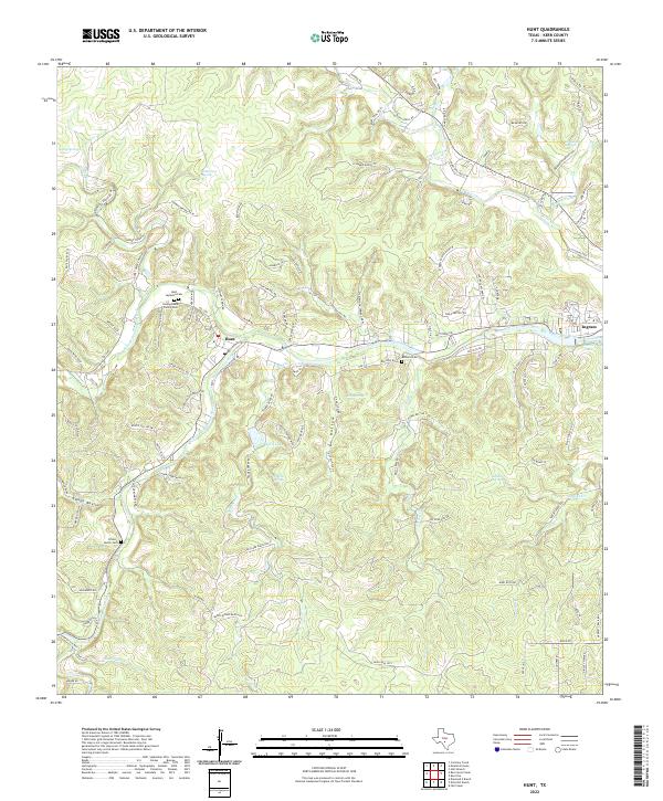
2022 Hunt
Kerr County, TX
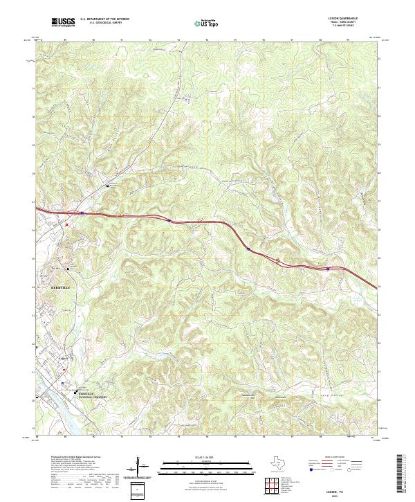
2022 Legion
Kerr County, TX
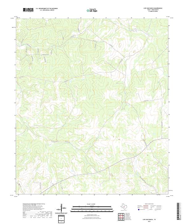
2022 Live Oak Ranch
Kerr County, TX
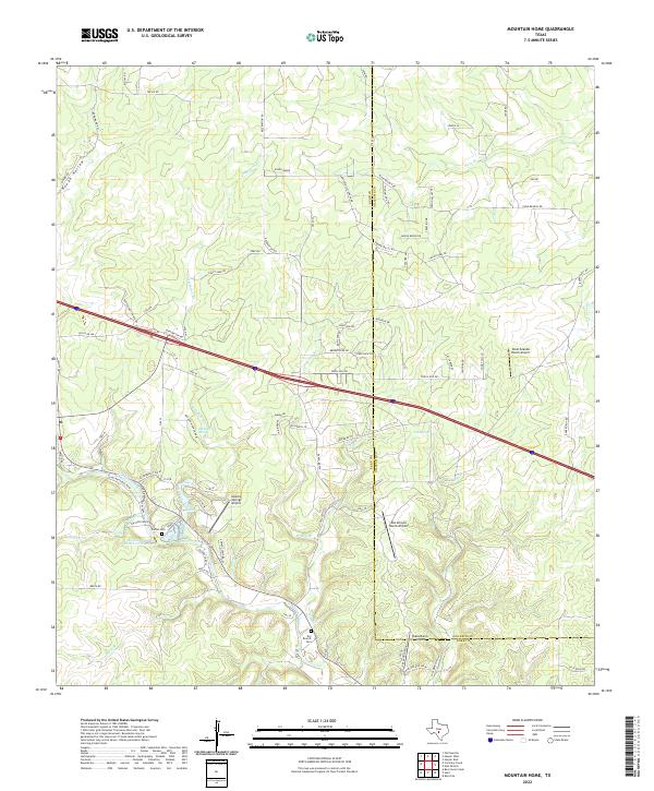
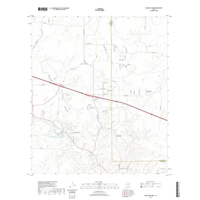
2022 Mountain Home
Kerr County, TX
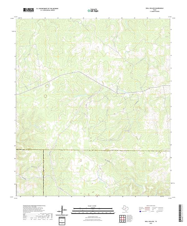
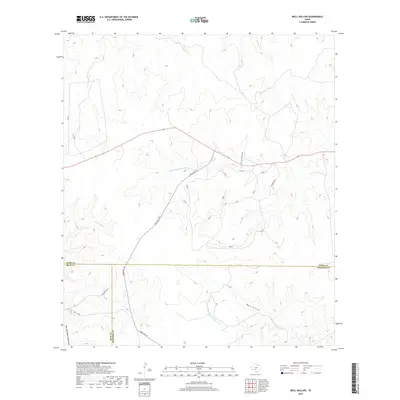
2022 Well Hollow
Kerr County, TX
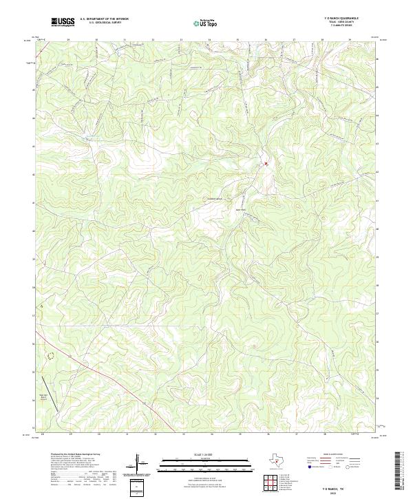
2022 Y O Ranch
Kerr County, TX