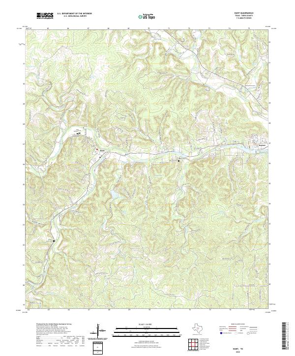
2022 Map of Hunt
USGS Topo · Published 2022About this map
The confluence of the N Fork Guadalupe River and S Fork Guadalupe River defines the community of Hunt, where the waterway begins its broader journey east. This area of the Texas Hill Country is marked by a complex network of springs and creeks, including Honey Springs, Whetstone Spring, and the branching waters of Tegener Cr. The landscape is etched with distinctive terrain features such as Ox Hollow and Hoot-Owl Hollow, illustrating the deeply carved drainage patterns characteristic of the Edwards Plateau.
Find a feature on this map
107 named features on this map. Tap any name to fly to it.
Don’t see what you’re looking for? This feature index may not catch every label — zoom into the map to look around manually.
Map Details
Editions of this 2022 Hunt Map
This is the sole edition of this map. No revisions or reprints were ever made.
Other maps of this area

1894 · Kerrville
USGS Topo · 1:125,000

1954 · Llano
USGS Topo · 1:250,000

1954 · San Antonio
USGS Topo · 1:250,000

1955 · Llano
USGS Topo · 1:250,000

1956 · Tuff
USGS Topo · 1:62,500

1956 · Center Point
USGS Topo · 1:62,500

1956 · Llano
USGS Topo · 1:250,000

1957 · San Antonio
USGS Topo · 1:250,000

1964 · Nott Branch
USGS Topo · 1:24,000

1964 · Diamond S Ranch
USGS Topo · 1:24,000