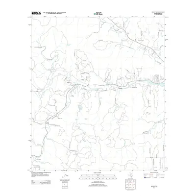
2012 Map of Hunt
USGS Topo · Published 2012About this map
The confluence of the N Fork Guadalupe River and the S Fork Guadalupe River forms a central point for this Hill Country landscape, where the town of Hunt and nearby Waltonia serve as anchors. The area is defined by a dense concentration of youth camps and family ranches, reflecting a long-standing tradition of recreation and agricultural stewardship. Notable properties include Camp LaJunta, Camp Arrowhead, and Camp Mystic, interspersed with family-held lands like the Jasper Moore Ranch and Domingues Ranch.
Find a feature on this map
101 named features on this map. Tap any name to fly to it.
Don’t see what you’re looking for? This feature index may not catch every label — zoom into the map to look around manually.
Map Details
Editions of this 2012 Hunt Map
This is the sole edition of this map. No revisions or reprints were ever made.
Other maps of this area

1894 · Kerrville
USGS Topo · 1:125,000

1954 · Llano
USGS Topo · 1:250,000

1954 · San Antonio
USGS Topo · 1:250,000

1955 · Llano
USGS Topo · 1:250,000

1956 · Tuff
USGS Topo · 1:62,500

1956 · Center Point
USGS Topo · 1:62,500

1956 · Llano
USGS Topo · 1:250,000

1957 · San Antonio
USGS Topo · 1:250,000

1964 · Nott Branch
USGS Topo · 1:24,000

1964 · Diamond S Ranch
USGS Topo · 1:24,000