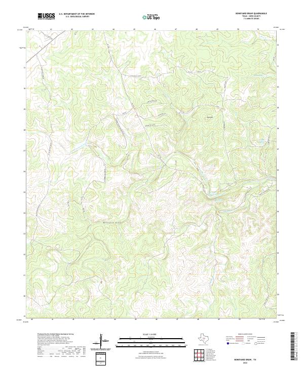
2022 Map of Boneyard Draw
USGS Topo · Published 2022About this map
The N Fork Guadalupe River carves a winding path through this portion of the Texas Hill Country, defining the drainage patterns for numerous seasonal creeks and draws. The landscape is characterized by a network of ranch access roads, such as Rowland Walters Ranch Rd SW and Leinweber Ranch Rd SW, which navigate the elevation changes around Red Hill. Water sources are critical in this arid terrain, marked by specific points like Fish and Wildlife Springs, Boneyard Waterhole, and Bonnie Belle Lake. The presence of these named water features alongside the extensive Boneyard Draw suggests a history of land use centered on livestock ranching and wildlife management, common to Kerr County. Local geography is further detailed by drainage systems like Turkey Lake and the various branches of Indian Cr and Flat Rock Cr.
Find a feature on this map
25 named features on this map. Tap any name to fly to it.
Don’t see what you’re looking for? This feature index may not catch every label — zoom into the map to look around manually.
Map Details
Editions of this 2022 Boneyard Draw Map
This is the sole edition of this map. No revisions or reprints were ever made.
Other maps of this area

1894 · Kerrville
USGS Topo · 1:125,000

1954 · Llano
USGS Topo · 1:250,000

1954 · San Antonio
USGS Topo · 1:250,000

1955 · Llano
USGS Topo · 1:250,000

1956 · Tuff
USGS Topo · 1:62,500

1956 · Llano
USGS Topo · 1:250,000

1957 · San Antonio
USGS Topo · 1:250,000

1963 · Garven Store
USGS Topo · 1:24,000

1963 · Y O Ranch
USGS Topo · 1:24,000

1964 · Hillcrest Ranch
USGS Topo · 1:24,000