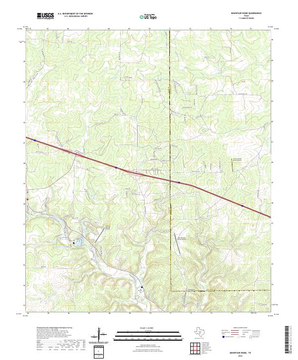
2022 Map of Mountain Home
USGS Topo · Published 2022About this map
The Kerr and Gillespie County line bisects this portion of the Texas Hill Country, a landscape defined by seasonal drainages and scattered ranching operations. The topography is deeply incised by Fessenden Br, Johnson Creek, and Byas Br, flowing toward the various ranch reservoirs and springs that sustain this arid region. Significant groundwater resources are noted at Ellebracht Springs and Fall Springs, which historically dictated the placement of early homesteads and current livestock ranching. Evidence of rural community life is preserved at Dry Branch Cem and Sunset Cem, while the modern character of the area is shaped by several private landing strips, including Apache Springs Airport and Cielo Grande Ranch Airport. Small residential pockets like Angel Haven represent the sparse settlement pattern that persists in this rugged terrain.
Find a feature on this map
88 named features on this map. Tap any name to fly to it.
Don’t see what you’re looking for? This feature index may not catch every label — zoom into the map to look around manually.
Map Details
Editions of this 2022 Mountain Home Map
This is the sole edition of this map. No revisions or reprints were ever made.
Other maps of this area

1894 · Kerrville
USGS Topo · 1:125,000

1954 · Llano
USGS Topo · 1:250,000

1955 · Llano
USGS Topo · 1:250,000

1956 · Llano
USGS Topo · 1:250,000

1964 · Nott Branch
USGS Topo · 1:24,000
1964 · Contrary Creek
USGS Topo · 1:24,000
1964 · Kerrville
USGS Topo · 1:24,000
1964 · Bee Caves Creek
USGS Topo · 1:24,000
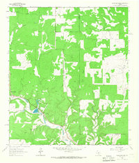
1964 · Mountain Home
USGS Topo · 1:24,000
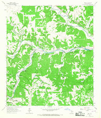
1964 · Hunt
USGS Topo · 1:24,000