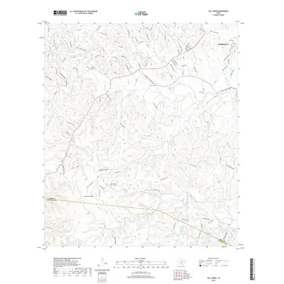
2019 Map of Fall Creek
USGS Topo · Published 2019About this map
The hills southwest of Kerrville are defined by a complex network of canyons and ridges, including Mexican Hollow, Panther Hollow, and Huntsberry Ridge. The 2019 landscape shows how the rugged topography of the Edwards Plateau shapes local development, with Lower Turtle Creek Road and Fall Creek Road following the natural contours of the drainages. Several family and community burial sites are preserved here, including Turtle Creek Cemetery, Habecker Cemetery, and Real Cemetery, offering valuable location data for genealogists studying the early settlers of Kerr and Bandera counties.
Find a feature on this map
103 named features on this map. Tap any name to fly to it.
Don’t see what you’re looking for? This feature index may not catch every label — zoom into the map to look around manually.
Map Details
Editions of this 2019 Fall Creek Map
This is the sole edition of this map. No revisions or reprints were ever made.
Other maps of this area

1894 · Kerrville
USGS Topo · 1:125,000

1954 · Llano
USGS Topo · 1:250,000

1954 · San Antonio
USGS Topo · 1:250,000

1955 · Llano
USGS Topo · 1:250,000

1956 · Tuff
USGS Topo · 1:62,500

1956 · Center Point
USGS Topo · 1:62,500

1956 · Llano
USGS Topo · 1:250,000

1957 · San Antonio
USGS Topo · 1:250,000

1964 · Center Point
USGS Topo · 1:24,000

1964 · Echo Hill Ranch
USGS Topo · 1:24,000