Old Maps of Lipscomb County, Texas for Academic Research
Study the evolution of Lipscomb County with 50 high-resolution historic maps. Whether you're teaching, researching, or modeling changes in land use, these maps provide essential visual documentation of urban, environmental, and geographic change.
- Analyze long-term change: Track patterns in development, transportation, and natural features.
- Ideal for environmental or urban studies: Support academic projects with primary historical map data.
- Use in the classroom or lab: Educators and researchers rely on these maps to bring historical context to life.
These maps are a powerful tool for teaching, research, and visualizing how Lipscomb County has changed over the decades.
Lipscomb County, TX maps
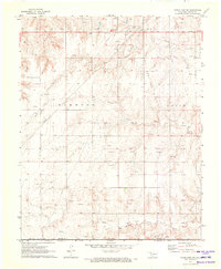
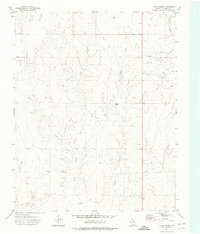
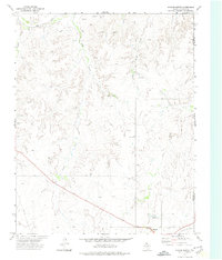
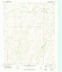
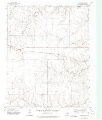
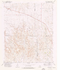
(50)- 1954 Map of Perryton, 1966 Print
 1954 Perryton1966 Print · USGSCovers Lipscomb County, including Guymon, Perryton, and other nearby areas3 unique versions available
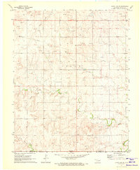
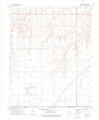
 - 1958 Map of Perryton
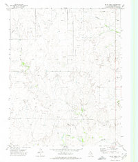
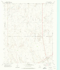
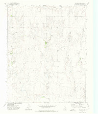
 1958 Perryton1958 Print · USGSCovers Lipscomb County, including Guymon, Perryton, and other nearby areas
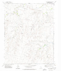
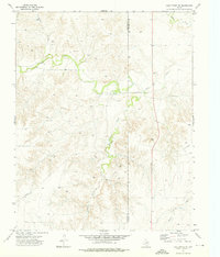
 - 1971 Map of Clear Lake SW, 1973 Print
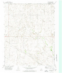
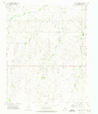
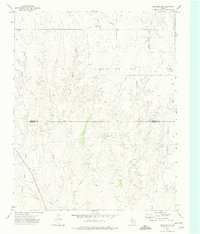
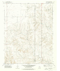
 1971 Clear Lake SW1973 Print · USGSCovers Lipscomb County, including Sophia, Beaver County, and other nearby areas2 unique versions available
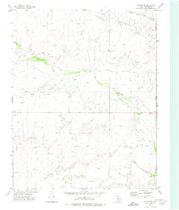
 - 1971 Map of Clear Lake SE, 1973 Print
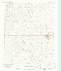
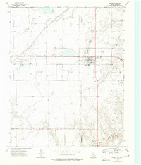
 1971 Clear Lake SE1973 Print · USGSCovers Lipscomb County, including Beaver County, United States, and other nearby areas
 - 1972 Map of Barton Corners, 1974 Print
 1972 Barton Corners1974 Print · USGSCovers Lipscomb County, including Barton Corners, United States, and other nearby areas
 - 1972 Map of Follett SE, 1974 Print
 1972 Follett SE1974 Print · USGSCovers Lipscomb County, including Ellis County, United States, and other nearby areas
 - 1972 Map of Dugout Creek, 1974 Print
 1972 Dugout Creek1974 Print · USGSCovers Lipscomb County, including United States, Texas, and other nearby areas
 - 1972 Map of Skunk Creek, 1974 Print
 1972 Skunk Creek1974 Print · USGSCovers Lipscomb County, including United States, Texas, and other nearby areas
 - 1972 Map of Magoun, 1974 Print
 1972 Magoun1974 Print · USGSCovers Lipscomb County, including Magoun, Beaver County, and other nearby areas
 - 1972 Map of Follett, 1974 Print
 1972 Follett1974 Print · USGSCovers Lipscomb County, including Follett, Sherlock, and other nearby areas
 - 1972 Map of Higgins North, 1974 Print
 1972 Higgins North1974 Print · USGSCovers Lipscomb County, including Higgins, Ellis County, and other nearby areas
 - 1972 Map of Glazier, 1974 Print
 1972 Glazier1974 Print · USGSCovers Lipscomb County, including Locust Grove, Glazier, and other nearby areas
 - 1972 Map of Willow Creek, 1974 Print
 1972 Willow Creek1974 Print · USGSCovers Lipscomb County, including Lipscomb, United States, and other nearby areas
 - 1972 Map of Higgins South, 1974 Print
 1972 Higgins South1974 Print · USGSCovers Lipscomb County, including Higgins, Hemphill County, and other nearby areas
 - 1972 Map of Lipscomb, 1974 Print
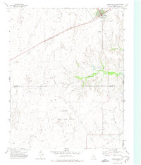
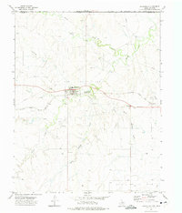
 1972 Lipscomb1974 Print · USGSCovers Lipscomb County, including Lipscomb, United States, and other nearby areas
 - 1972 Map of Lipscomb SW, 1974 Print
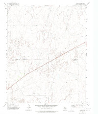
 1972 Lipscomb SW1974 Print · USGSCovers Lipscomb County, including Hemphill County, United States, and other nearby areas
 - 1972 Map of Darrouzett, 1975 Print
 1972 Darrouzett1975 Print · USGSCovers Lipscomb County, including Darrouzett, Beaver County, and other nearby areas
 - 1972 Map of Coburn, 1975 Print
 1972 Coburn1975 Print · USGSCovers Lipscomb County, including Coburn, Hemphill County, and other nearby areas
 - 1972 Map of Gaylord, 1975 Print
 1972 Gaylord1975 Print · USGSCovers Lipscomb County, including Gaylord, United States, and other nearby areas
 - 1972 Map of Twin Grove, 1975 Print
 1972 Twin Grove1975 Print · USGSCovers Lipscomb County, including Twin Grove, United States, and other nearby areas
 - 1972 Map of Booker SE, 1976 Print
 1972 Booker SE1976 Print · USGSCovers Lipscomb County, including Ochiltree County, United States, and other nearby areas
 - 1973 Map of Booker, 1975 Print
 1973 Booker1975 Print · USGSCovers Lipscomb County, including Booker, Beaver County, and other nearby areas
 - 1973 Map of Barton Creek, 1976 Print
 1973 Barton Creek1976 Print · USGSCovers Lipscomb County, including Hemphill County, Roberts County, and other nearby areas
 - 1973 Map of Elmwood, 1976 Print
 1973 Elmwood1976 Print · USGSCovers Lipscomb County, including Elmwood, Beaver County, and other nearby areas
 - 1973 Map of Lake Fryer NE, 1976 Print
 1973 Lake Fryer NE1976 Print · USGSCovers Lipscomb County, including Ochiltree County, United States, and other nearby areas
Showing maps 1-25 of 50
Top cities of Lipscomb County
Frequently asked questions
- What are the different types of historical maps available for Lipscomb County?
- What is the oldest map of Lipscomb County?
- Where can I purchase historical maps of Lipscomb County for my home or office?
- Where can I download high-res historical maps of Lipscomb County?
- Are there historical topographic maps available for Lipscomb County?
- Is there historical aerial imagery available for Lipscomb County?
- Where are historical maps of Lipscomb County sourced from?