Old Maps of Mabank, Texas for Academic Research
Study the evolution of Mabank with 29 high-resolution historic maps. Whether you're teaching, researching, or modeling changes in land use, these maps provide essential visual documentation of urban, environmental, and geographic change.
- Analyze long-term change: Track patterns in development, transportation, and natural features.
- Ideal for environmental or urban studies: Support academic projects with primary historical map data.
- Use in the classroom or lab: Educators and researchers rely on these maps to bring historical context to life.
These maps are a powerful tool for teaching, research, and visualizing how Mabank has changed over the decades.
Mabank, TX maps
(29)- 1920 Map of Kemp
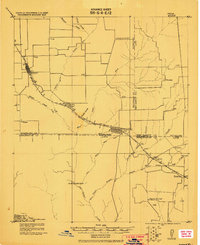 1920 Kemp1920 Print · USGSNortheast Texas at the start of the 1920s reveals a landscape of railroad towns and rural post offices at the junction of three counties. Genealogists can trace early homesteads and schoolhouses near Mabank, Prairieville, and Ansley.
 - 1954 Map of Dallas, 1963 Print
 1954 Dallas1963 Print · USGSNorth Texas in the mid-fifties and early sixties reveals a landscape of rapid urban growth and water management. Genealogists and historians can trace the evolution of the metroplex through landmarks like Hensley Field, Boles Orphan Home, and the Texas & Pacific RR.4 unique versions available
 - 1957 Map of Kemp
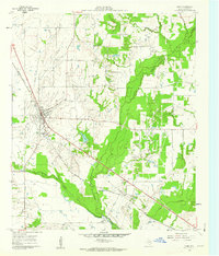
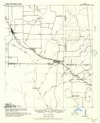 1957 Kemp1957 Print · USGSThe rural borders of Kaufman and Henderson counties come alive in this early twentieth-century survey of the Texas and New Orleans Railroad corridor. Researchers can trace defunct post offices and local landmarks like Ansley and the remote settlement at Prairieville.
 - 1958 Map of Dallas
 1958 Dallas1958 Print · USGSNorth Texas in the late fifties shows the dramatic expansion of the Metroplex as it absorbs surrounding farm towns. Genealogists and historians can trace old rail lines like the Missouri-Kansas-Texas and locate early lakefront developments at Eagle Mountain Lake and Lake Worth Village.
 - 1960 Map of Tool, 1961 Print
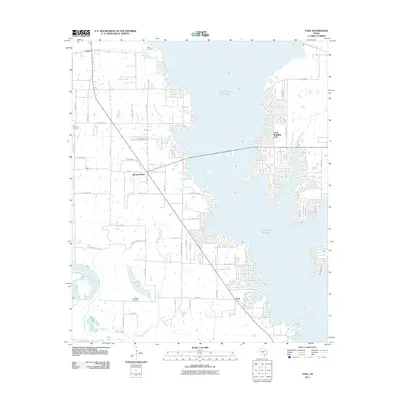
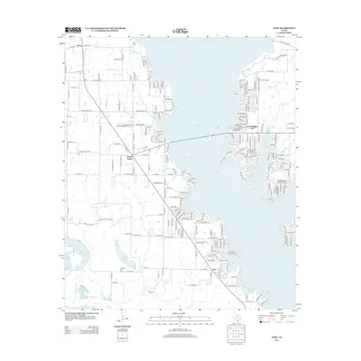
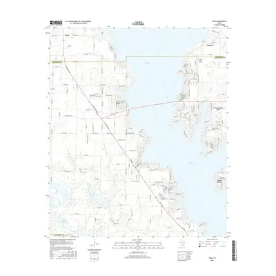
 1960 Tool1961 Print · USGSThe rural Henderson County landscape of the early 1960s is preserved here, centered on the creek-fed agricultural lands near the Trinity River. Genealogists and local historians can trace the foundations of Tool, Tolosa, and Aley, alongside family landmarks like Baker Cem and King Cem.3 unique versions available
 - 1960 Map of Mabank, 1961 Print
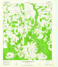
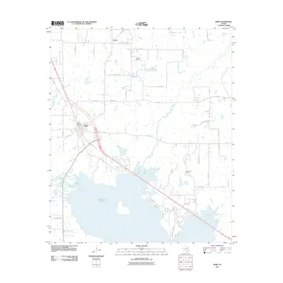
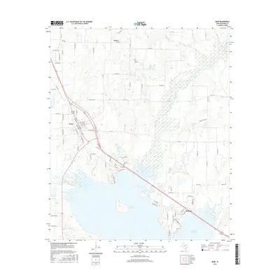
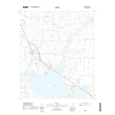
 1960 Mabank1961 Print · USGSThe crossroads of Henderson, Kaufman, and Van Zandt counties are captured here in the early sixties, showing a landscape defined by small-town life and the railroad. Genealogists can trace family roots through landmarks like Elam Grove Ch, Mabank Cem, and rural outposts such as Payne Springs.5 unique versions available
 - 1961 Map of Kemp, 1962 Print
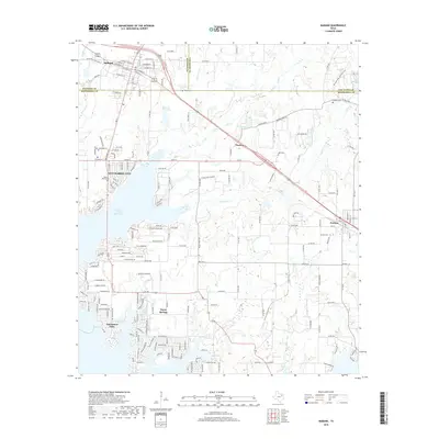
 1961 Kemp1962 Print · USGSKaufman County's agricultural and rail landscape is captured here in the early 1960s as infrastructure begins to modernize. Researchers can trace the rail corridors of the Southern Pacific and locate local landmarks like the Cemetery and the small community of Gossett.4 unique versions available
 - 1962 Map of Prairieville, 1965 Print
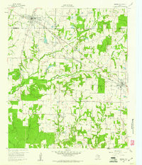
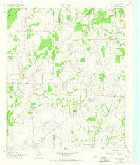 1962 Prairieville1965 Print · USGSThe Van Zandt County countryside comes into focus in the early sixties, showing the rural crossroads and creek-fed farms of the Texas interior. Trace family landmarks like the Aanonsen Cem, Fourmile Ch, and the small settlement at Prairieville.2 unique versions available
 - 1985 Map of Corsicana, 1986 Print
 1985 Corsicana1986 Print · USGSNorth Central Texas was defined by its expanding water reservoirs and deep-rooted rail corridors in the mid-eighties. Researchers can trace the heritage of local communities through landmarks like Southwestern Bible Institute, Navarro College, and rural markers such as Derrs Chapel.2 unique versions available
 - 2010 Map of Mabank, 2010 Print
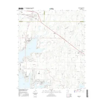
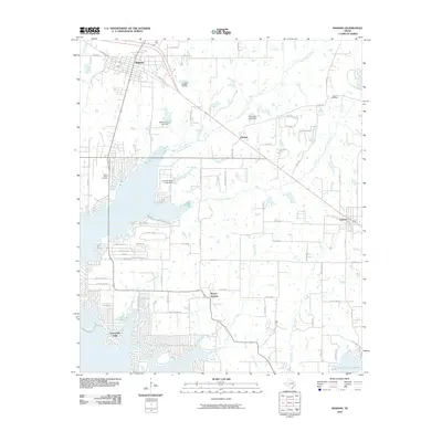 2010 Mabank2010 Print · USGSCovers Mabank, including Gun Barrel City, Eustace, and other nearby areas
 - 2010 Map of Prairieville, 2010 Print
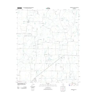
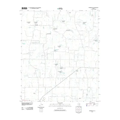 2010 Prairieville2010 Print · USGSCovers Mabank, including Prairieville, Odom, and other nearby areas
 - 2011 Map of Tool, 2011 Print
 2011 Tool2011 Print · USGSCovers Mabank, including Gun Barrel City, Tool, and other nearby areas
 - 2011 Map of Kemp, 2011 Print
 2011 Kemp2011 Print · USGSCovers Mabank, including Kemp, Becker, and other nearby areas
 - 2012 Map of Kemp, 2012 Print
 2012 Kemp2012 Print · USGSCovers Mabank, including Kemp, Becker, and other nearby areas
 - 2012 Map of Mabank, 2012 Print
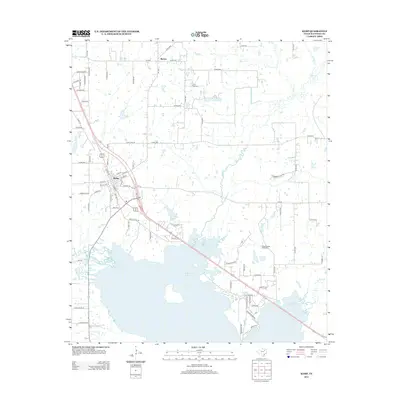
 2012 Mabank2012 Print · USGSCovers Mabank, including Gun Barrel City, Eustace, and other nearby areas
 - 2012 Map of Tool, 2012 Print
 2012 Tool2012 Print · USGSCovers Mabank, including Gun Barrel City, Tool, and other nearby areas
 - 2012 Map of Prairieville, 2012 Print
 2012 Prairieville2012 Print · USGSCovers Mabank, including Prairieville, Odom, and other nearby areas
 - 2016 Map of Mabank, 2016 Print
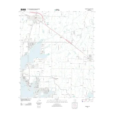
 2016 Mabank2016 Print · USGSCovers Mabank, including Gun Barrel City, Eustace, and other nearby areas
 - 2016 Map of Prairieville, 2016 Print
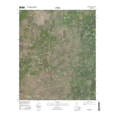 2016 Prairieville2016 Print · USGSCovers Mabank, including Prairieville, Odom, and other nearby areas
 - 2016 Map of Tool, 2016 Print
 2016 Tool2016 Print · USGSCovers Mabank, including Gun Barrel City, Tool, and other nearby areas
 - 2016 Map of Kemp, 2016 Print
 2016 Kemp2016 Print · USGSCovers Mabank, including Kemp, Becker, and other nearby areas
 - 2019 Map of Kemp, 2019 Print
 2019 Kemp2019 Print · USGSCovers Mabank, including Kemp, Becker, and other nearby areas
 - 2019 Map of Mabank, 2019 Print
 2019 Mabank2019 Print · USGSCovers Mabank, including Gun Barrel City, Eustace, and other nearby areas
 - 2019 Map of Tool, 2019 Print
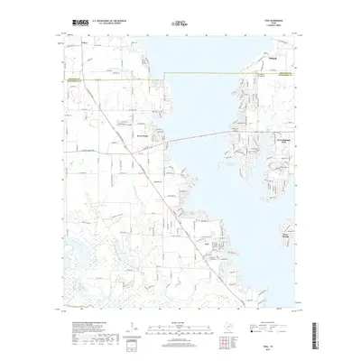 2019 Tool2019 Print · USGSCovers Mabank, including Gun Barrel City, Tool, and other nearby areas
 - 2019 Map of Prairieville, 2019 Print
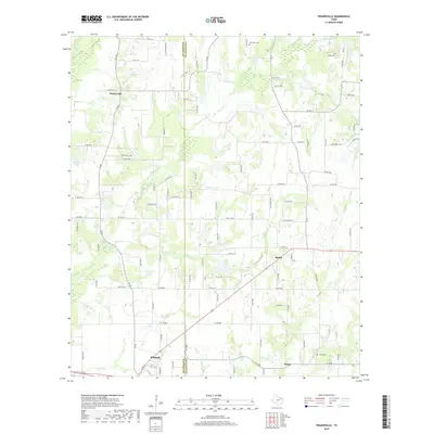 2019 Prairieville2019 Print · USGSCovers Mabank, including Prairieville, Odom, and other nearby areas
Showing maps 1-25 of 29
Top cities near Mabank
- Athens historical maps
- Kaufman historical maps
- Gun Barrel City historical maps
- Tool historical maps
- Malakoff historical maps
- Kerens historical maps
See more
Frequently asked questions
- What are the different types of historical maps available for Mabank?
- What is the oldest map of Mabank?
- Where can I purchase historical maps of Mabank for my home or office?
- Where can I download high-res historical maps of Mabank?
- Are there historical topographic maps available for Mabank?
- Is there historical aerial imagery available for Mabank?
- Where are historical maps of Mabank sourced from?