2020s Maps of McMullen County, Texas
Explore 30 historic maps of McMullen County from the 2020s. These maps offer a rare glimpse into what life looked like during the 2020s — showing old roads, neighborhoods, homes, and landmarks that have changed or disappeared over time.
Whether you're researching your family's past, planning a metal detecting trip, or studying how McMullen County's landscape evolved across the 2020s, these high-resolution maps are a powerful tool for exploring the history of this region.
- Focus on a specific era: All maps on this page are from the 2020s, giving you a focused view of this time period.
- See what’s changed: Compare century-old streets, trails, and buildings to today's modern landscape using overlays and satellite layers.
- Research with precision: Use these maps for genealogy, historical research, land use analysis, or educational projects.
- View, download, or print: Maps are fully viewable online in high resolution, and can be downloaded or printed for your own records.
Start exploring McMullen County's history through authentic maps from the 2020s. This is your window into the past.
McMullen County, TX maps
(30)- 2022 Map of Fowlerton, 2022 Print
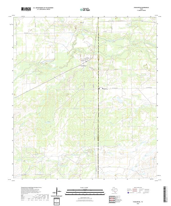 2022 Fowlerton2022 Print · USGSThis South Texas area around Fowlerton is documented in its modern state, centered where the Frio River crosses the county line. Genealogists and historians can trace local heritage at the Fowlerton Hispanic Cem and old ranching landmarks like Mangas Waterlot Tank.
 - 2022 Map of Piedra Creek NE, 2022 Print
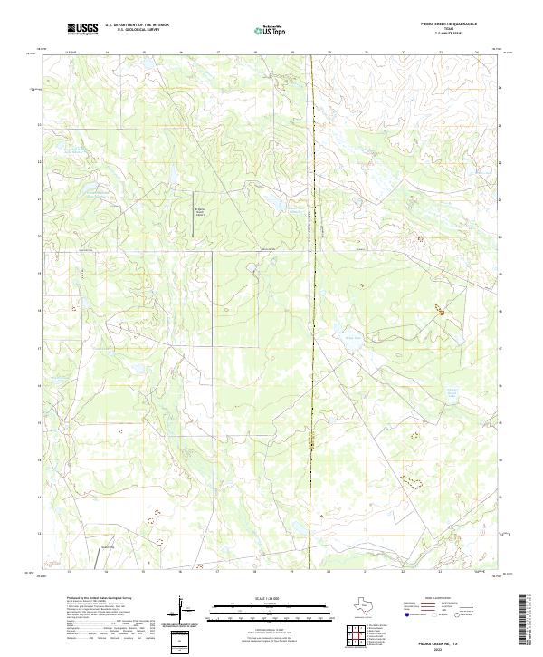 2022 Piedra Creek NE2022 Print · USGSLa Salle and McMullen Counties are shown here during the early twenty-first century, characterized by an expansive ranching landscape defined by water tanks and private airstrips. Researchers can trace the layout of legacy landholdings through features like El Quinto Ranch Airport, Nueces Ranch Lake, and Gould Strip.
 - 2022 Map of Tilden, 2022 Print
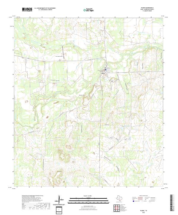 2022 Tilden2022 Print · USGSTilden and the surrounding McMullen County ranchlands are captured in this modern survey of the South Texas brush country. Researchers can locate the McMullen County Courthouse, trace burials at the famous Boot-Hill Cem, and follow the bends of the Frio River.
 - 2022 Map of Pertle Creek, 2022 Print
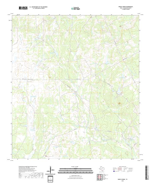 2022 Pertle Creek2022 Print · USGSMcMullen County ranch lands are detailed here during the early twenty-first century, showing a landscape of family-owned spreads and water management. Researchers can trace land holdings and landmarks like Franklin Ranch, Kuykendall Lake, and High Lonesome.
 - 2022 Map of Briscoe Ranch, 2022 Print
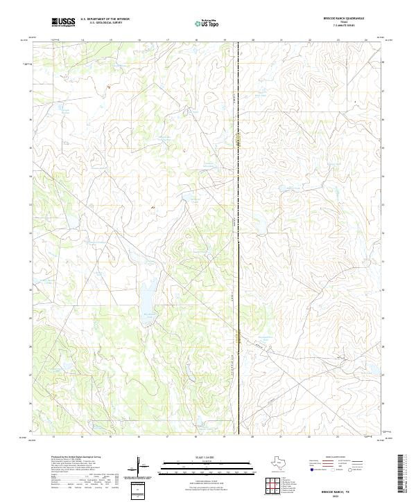 2022 Briscoe Ranch2022 Print · USGSThe South Texas borderlands are captured here at the county line between La Salle and McMullen. Researchers can trace the legacy of ranching water rights through numerous named catchments like Big Alamo Tank, Tanque Escondido, and Oil Wells Tank.
 - 2022 Map of Hindes, 2022 Print
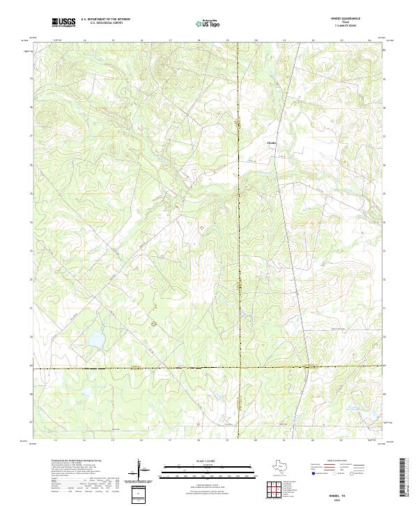 2022 Hindes2022 Print · USGSThe ranchlands surrounding Hindes appear in this recent survey at the meeting point of four South Texas counties. Local historians can trace the creek-fed landscape of San Miguel Cr and locate water features like McNeel Lake and Jess McNeel Lake Number 3.
 - 2022 Map of Piedra Creek SE, 2022 Print
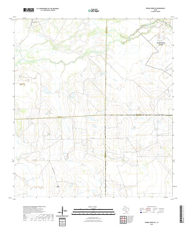 2022 Piedra Creek SE2022 Print · USGSThe South Texas brush country at the four-county junction of La Salle, Webb, McMullen, and Duval is shown here in the 2020s. Genealogists and historians can locate the Adams Cem or trace family-named roads and landmarks like Withers Rd and the Gould Strip.
 - 2022 Map of San Caja Hill, 2022 Print
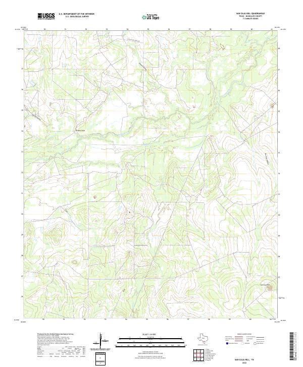 2022 San Caja Hill2022 Print · USGSMcMullen County ranch lands are shown in recent detail as they appeared during the early twenty-first century. Researchers can trace the rugged local geography through family-named landmarks like Drakes Point and historic watercourses such as the Nueces River and Dragoon Cr.
 - 2022 Map of Calliham NW, 2022 Print
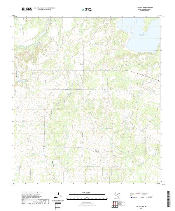 2022 Calliham NW2022 Print · USGSMcMullen County ranch lands meet the expanse of the reservoir in the early twenty-first century. Genealogists and local researchers can trace family-named routes and landmarks like Bracken Ranch Rd, Zavisch, and Singer Lake.
 - 2022 Map of Clegg SW, 2022 Print
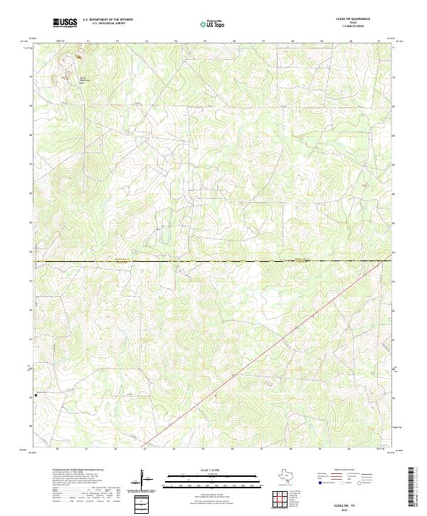 2022 Clegg SW2022 Print · USGSThe ranch lands of the South Texas brush country are captured here at the county line between McMullen and Duval. Genealogists and historians can locate the Campos Cem and trace the drainage of Lagarto Cr past the Devils Waterhole Hills.
 - 2022 Map of La Chusa Hill, 2022 Print
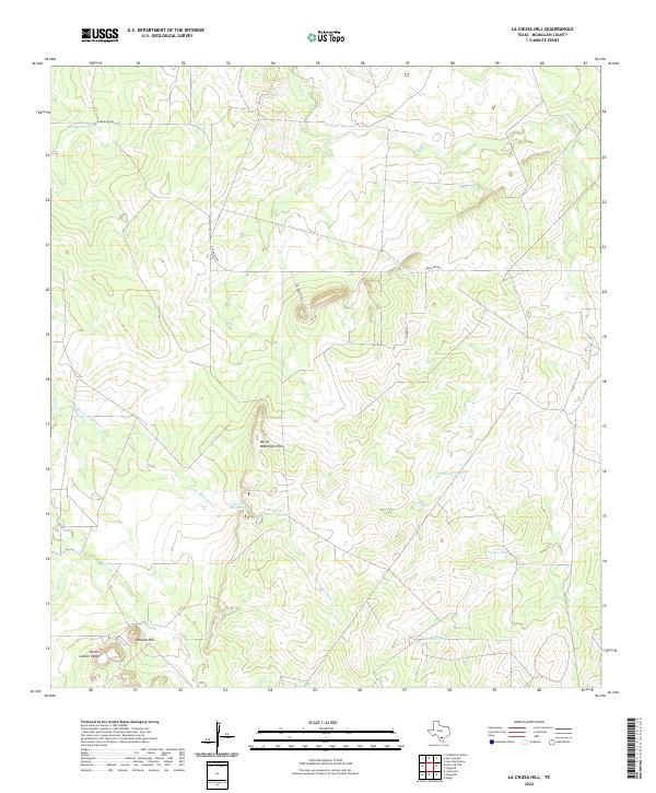 2022 La Chusa Hill2022 Print · USGSMcMullen County ranchlands remain defined by their unique topography and water management in this recent survey. Local history researchers can trace landmarks like Devils Center Table and Devils Waterhole alongside rural routes like Caron Rd 889.
 - 2022 Map of San Miguel Ranch, 2022 Print
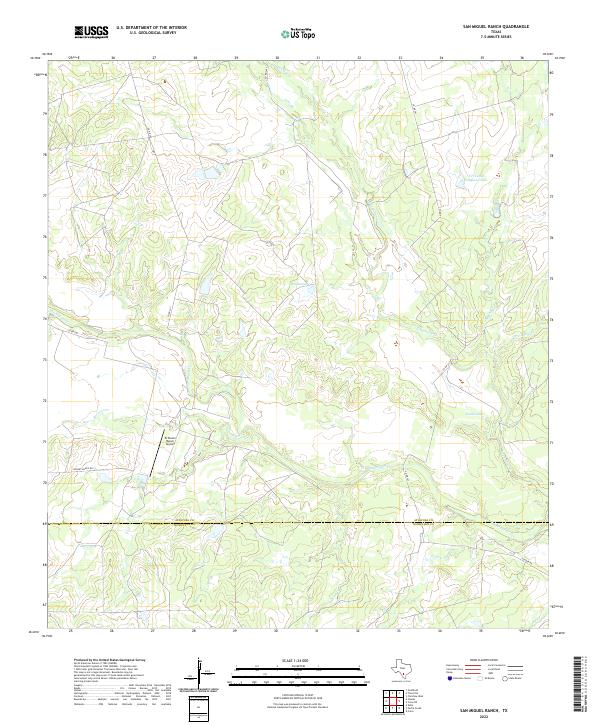 2022 San Miguel Ranch2022 Print · USGSThe ranchlands of the Atascosa and McMullen county line are captured here in the early twenty-first century, showing a landscape defined by cattle operations and creek beds. Researchers can locate private aviation sites like El Tesoro Ranch Airport and named water features including Hindes Lake and San Miguel Cr.
 - 2022 Map of Mule Creek, 2022 Print
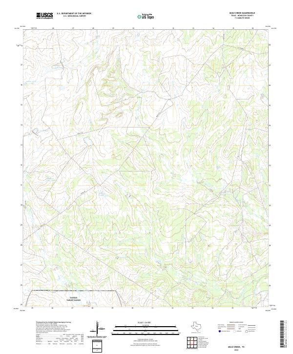 2022 Mule Creek2022 Print · USGSMcMullen County ranch lands are documented in this recent study of the South Texas brush country. Researchers can trace historic water management and property access via Llano Grande Tank, Dully Lake, and the drainage of the Nueces River.
 - 2022 Map of Loma Alta NW, 2022 Print
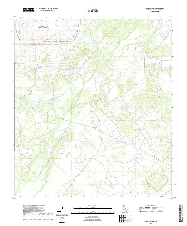 2022 Loma Alta NW2022 Print · USGSMcMullen County ranch land is mapped here in the modern era, showing the vital relationship between water and livestock in South Texas. Researchers can trace the braided path of the Nueces River and locate family-named landmarks like Bob Hinces Lake Number 1 and Raleigh Tank.
 - 2022 Map of Caballos Creek, 2022 Print
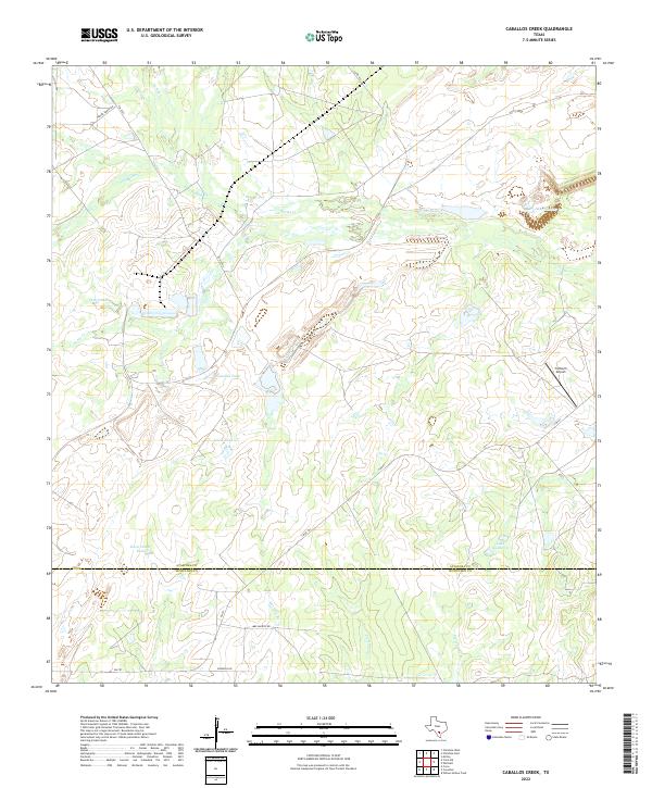 2022 Caballos Creek2022 Print · USGSAtascosa and McMullen counties meet in this South Texas ranching corridor during the early twenty-first century. Family history and land use can be traced through sites like Peeler Ranch Rd, 74 Ranch Airport, and the numerous cattle tanks like Lewis Tank.
 - 2022 Map of Loma Alta NE, 2022 Print
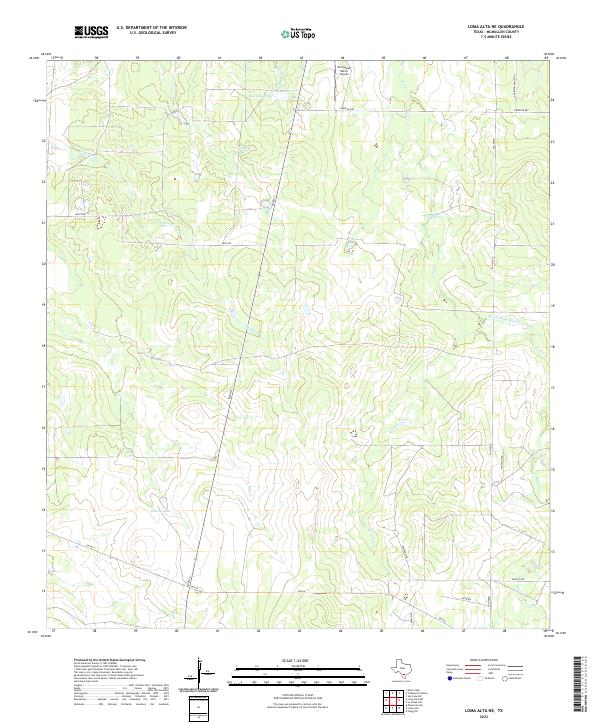 2022 Loma Alta NE2022 Print · USGSMcMullen County ranchlands in 2022 are defined by wide-open cattle country and strategic water management. Trace the landscape through landmarks like Hasete Lake, the Arrowhead Ranch Airport, and seasonal waters such as Devils Waterhole Cr.
 - 2022 Map of Clegg, 2022 Print
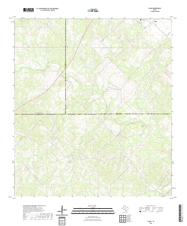 2022 Clegg2022 Print · USGSThe rural crossroads of South Texas are documented here during the early twenty-first century as the county lines of McMullen, Live Oak, and Duval intersect. Genealogists and local historians can locate Clegg Cem and trace the winding paths of Lagarto Cr and Tepecate Cr.
 - 2022 Map of Live Oak Hollow, 2022 Print
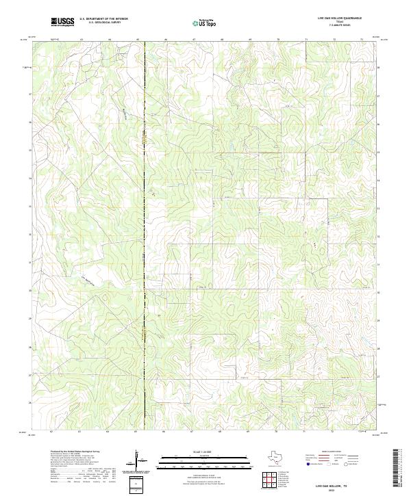 2022 Live Oak Hollow2022 Print · USGSSouth Texas ranchland at the McMullen and Live Oak county line is captured here in the early twenty-first century. Researchers can trace rural property access and drainage patterns along Live Oak Hollow, Rex Cabaniss Cr, and Co Line Rd.
 - 2022 Map of Loma Alta, 2022 Print
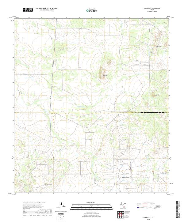 2022 Loma Alta2022 Print · USGSThe ranchlands along the border of McMullen and Duval Counties are captured here in the early twenty-first century. Researchers can trace the drainage patterns of Drummond Cr and locate the settlement of Seven Sisters near Charco Valiente Spring.
 - 2022 Map of Clegg NE, 2022 Print
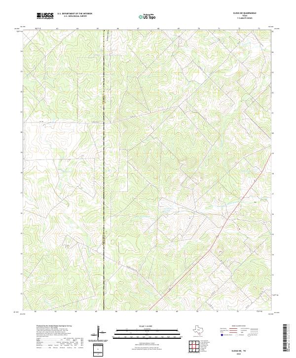 2022 Clegg NE2022 Print · USGSThe ranchlands along the border of McMullen and Live Oak counties are captured here in the early twenty-first century. Researchers can trace the hydrology of the South Texas brush through Salt Br Ramirena Cr and family-named landmarks like Marcou Tank.
 - 2022 Map of Cross, 2022 Print
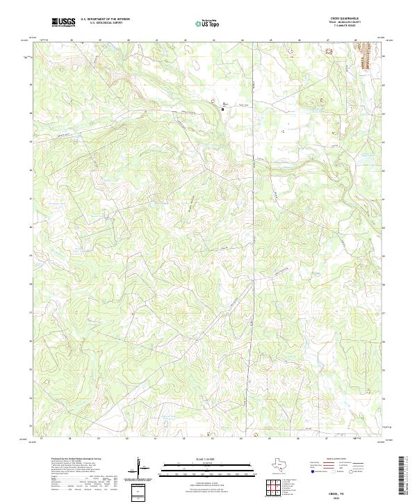 2022 Cross2022 Print · USGSMcMullen County ranch lands are detailed in this recent survey, showcasing a complex network of seasonal creeks and livestock tanks. Genealogists and researchers can locate the San Miguel Cem and trace rural routes like Yeager Rd and Franklin Ranch Rd.
 - 2022 Map of Rockaway Creek, 2022 Print
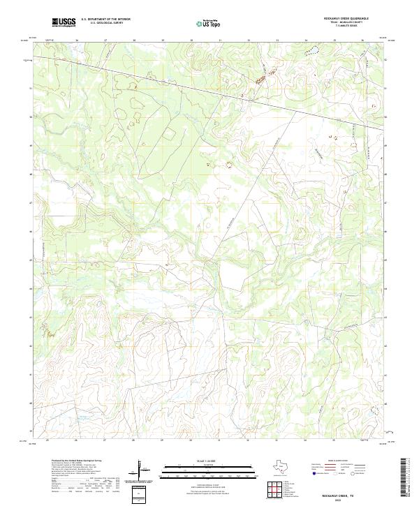 2022 Rockaway Creek2022 Print · USGSSouth Texas ranch lands and river bottoms are documented here in the early 2020s. Researchers can trace the winding course of the Frio River and locate remote landmarks like Mossy Slough and Rancho Tres Rees.
 - 2022 Map of Fitzpatrick Hollow, 2022 Print
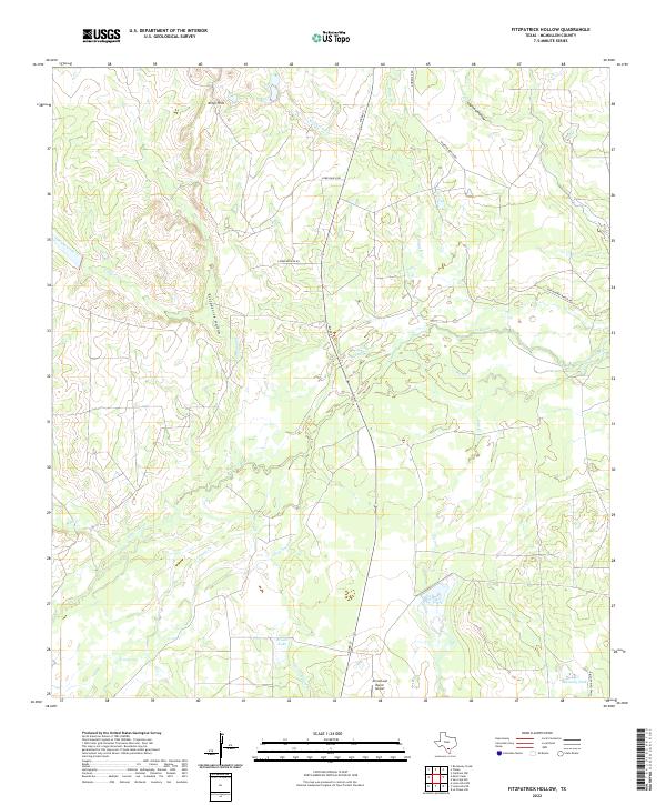 2022 Fitzpatrick Hollow2022 Print · USGSMcMullen County ranchland is mapped here in the early 2020s, showing the complex hydrology surrounding the Nueces River. Researchers can trace old family holdings via Wheeler Ranch Rd and locate landmarks like the Arrowhead Ranch Airport.
 - 2022 Map of Mirasol Creek, 2022 Print
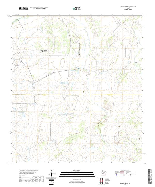 2022 Mirasol Creek2022 Print · USGSThe McMullen and Duval county line in the early 2020s shows a landscape of expansive ranchlands and water management. Researchers can trace the Old Nueces River Channel and find family-named landmarks like Jessie May Lake Number 2.
 - 2022 Map of Zella, 2022 Print
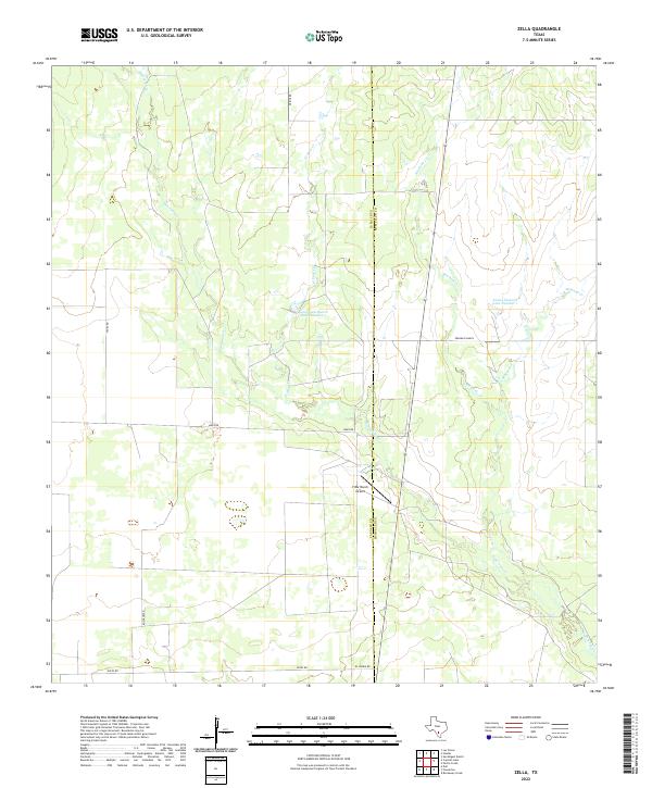 2022 Zella2022 Print · USGSLa Salle and McMullen Counties are shown here during the early 2020s, a period defined by the enduring ranching culture of South Texas. Researchers can trace land use through features like Franklin Ranch, the Y Bar Ranch Airport, and Rawhide Cr.
Showing maps 1-25 of 30
Top cities of McMullen County
Frequently asked questions
- What are the different types of historical maps available for McMullen County?
- What is the oldest map of McMullen County?
- Where can I purchase historical maps of McMullen County for my home or office?
- Where can I download high-res historical maps of McMullen County?
- Are there historical topographic maps available for McMullen County?
- Is there historical aerial imagery available for McMullen County?
- Where are historical maps of McMullen County sourced from?