Old Maps of Devine, Texas for Academic Research
Study the evolution of Devine with 16 high-resolution historic maps. Whether you're teaching, researching, or modeling changes in land use, these maps provide essential visual documentation of urban, environmental, and geographic change.
- Analyze long-term change: Track patterns in development, transportation, and natural features.
- Ideal for environmental or urban studies: Support academic projects with primary historical map data.
- Use in the classroom or lab: Educators and researchers rely on these maps to bring historical context to life.
These maps are a powerful tool for teaching, research, and visualizing how Devine has changed over the decades.
Devine, TX maps
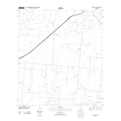
(16)- 1942 Map of Natalia, 1956 Print
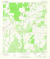
 1942 Natalia1956 Print · USGSMedina and Atascosa Counties are captured here during the mid-century, showing the shift from traditional ranching to an oil and rail economy. Genealogists can trace family holdings and local landmarks such as Bear Creek School, the Sullivan Ranch, and the early settlement at Zig Zag.
 - 1954 Map of San Antonio, 1964 Print
 1954 San Antonio1964 Print · USGSSan Antonio and the Texas Hill Country are captured here in the mid-fifties, showing a landscape defined by massive military air bases and the rising Canyon Reservoir. Trace family ties through historic rail towns like D'Hanis and Castroville or explore the Cold War footprint of Lackland AFB and Randolph AFB.3 unique versions available
 - 1957 Map of San Antonio
 1957 San Antonio1957 Print · USGSSan Antonio and the Texas Hill Country are shown here during the mid-fifties, capturing the region's expanding post-war military and transportation footprint. Genealogists and local historians can trace the early residential boundaries of Alamo Heights or locate rural landmarks like St Hedwig and Medina Lake.
 - 1964 Map of Ghost Hill, 1966 Print
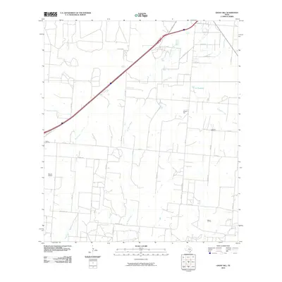
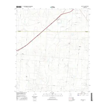
 1964 Ghost Hill1966 Print · USGSSouthern Frio County comes to life in the mid-1960s, showing a landscape defined by the intersection of the cattle industry and the energy boom. Genealogists and historians can trace family land at Moore Cem or study the reach of the Big Foot Gas Field and the Missouri Pacific railroad.2 unique versions available
 - 1964 Map of Devine, 1966 Print
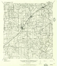
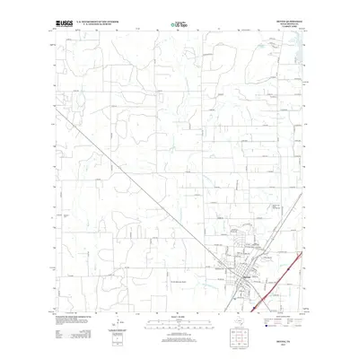
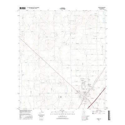
 1964 Devine1966 Print · USGSDevine and the surrounding Medina County countryside are captured here in the mid-1960s as a thriving rail and agricultural hub. Genealogists and researchers can locate family sites at Roberson Cem, trace the Missouri Pacific line, or find the Medina Lake State Fish Hatchery.2 unique versions available
 - 1985 Map of San Antonio
 1985 San Antonio1985 Print · USGSSan Antonio and its surrounding hill country are captured in the mid-eighties during a period of significant suburban and military expansion. Genealogists and historians can trace the footprint of Kelly Air Force Base, old rail lines like the Missouri-Kansas-Texas, and smaller communities like Saspamco or Zuehl.3 unique versions available
 - 2010 Map of Ghost Hill, 2010 Print
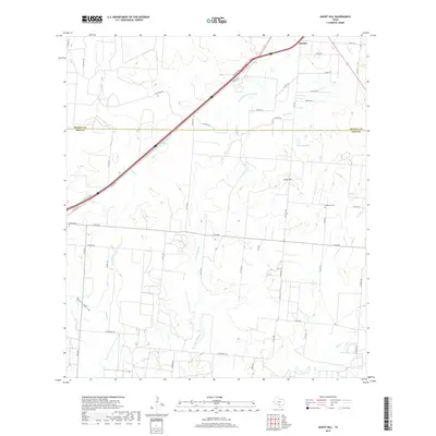
 2010 Ghost Hill2010 Print · USGSCovers Devine, including Medina County, Frio County, and other nearby areas
 - 2010 Map of Devine, 2010 Print
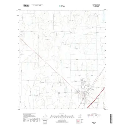
 2010 Devine2010 Print · USGSCovers Devine, including Medina County, United States, and other nearby areas
 - 2013 Map of Devine, 2013 Print
 2013 Devine2013 Print · USGSCovers Devine, including Medina County, United States, and other nearby areas
 - 2013 Map of Ghost Hill, 2013 Print
 2013 Ghost Hill2013 Print · USGSCovers Devine, including Medina County, Frio County, and other nearby areas
 - 2016 Map of Ghost Hill, 2016 Print
 2016 Ghost Hill2016 Print · USGSCovers Devine, including Medina County, Frio County, and other nearby areas
 - 2016 Map of Devine, 2016 Print
 2016 Devine2016 Print · USGSCovers Devine, including Medina County, United States, and other nearby areas
 - 2019 Map of Ghost Hill, 2019 Print
 2019 Ghost Hill2019 Print · USGSCovers Devine, including Medina County, Frio County, and other nearby areas
 - 2019 Map of Devine, 2019 Print
 2019 Devine2019 Print · USGSCovers Devine, including Medina County, United States, and other nearby areas
 - 2022 Map of Devine, 2022 Print
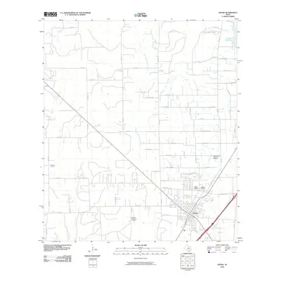
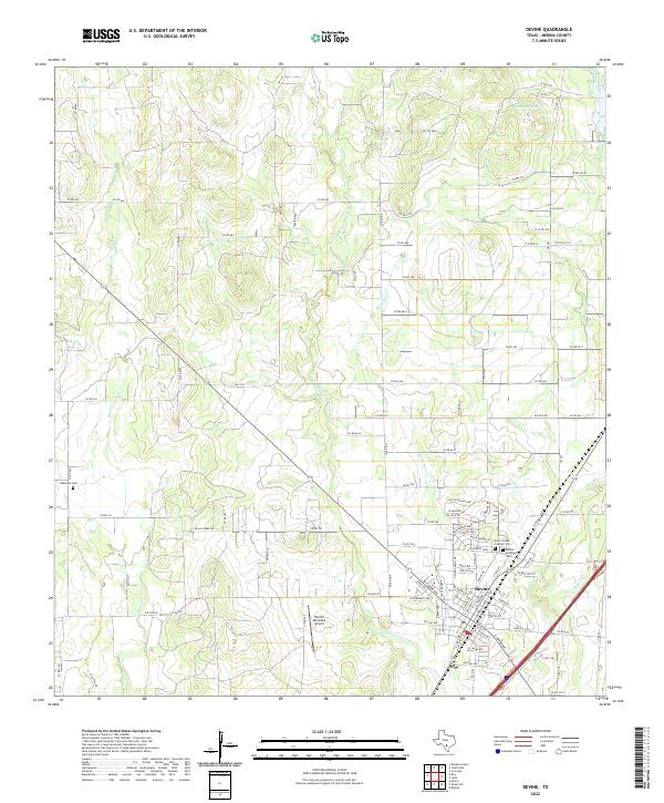 2022 Devine2022 Print · USGSMedina County settlement near the town of Devine is captured here during the early 2020s. Researchers can trace local lineage at Devine Evergreen Cem or locate rural landmarks like Jungman Lake and the Devine Municipal Airport.
 - 2022 Map of Ghost Hill, 2022 Print
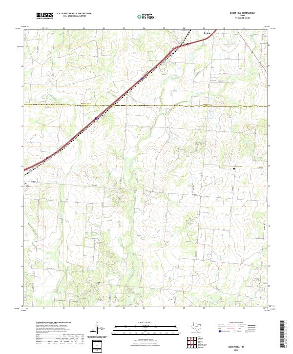 2022 Ghost Hill2022 Print · USGSThe rural expanse north of Devine is documented here in the early twenty-first century, showcasing the ranching landscape along the Medina Co Frio Co line. Researchers can trace local heritage through landmarks like Ghost Hill, Moore Memorial Cem, and Longview Cem.
End of results
Showing maps 1-16 of 16
Top cities near Devine
- San Antonio historical maps
- Hondo historical maps
- Castroville historical maps
- Lytle historical maps
- Natalia historical maps
Frequently asked questions
- What are the different types of historical maps available for Devine?
- What is the oldest map of Devine?
- Where can I purchase historical maps of Devine for my home or office?
- Where can I download high-res historical maps of Devine?
- Are there historical topographic maps available for Devine?
- Is there historical aerial imagery available for Devine?
- Where are historical maps of Devine sourced from?