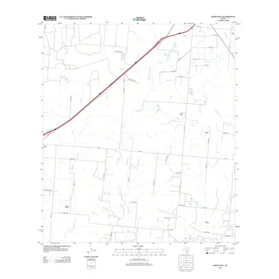
2013 Map of Ghost Hill
USGS Topo · Published 2013About this map
Ghost Hill rises above a landscape defined by ranching and resource extraction in Medina County, southwest of San Antonio. The terrain is marked by the dendritic drainage patterns of San Miguel Cr and Chacon Cr, which feed into local water management features like Cox Reservoir. For those researching local lineages, the map identifies Moore Cem and Longview Cem, while the southern reaches of the quadrangle reveal the extent of the Bigfoot Oil Field. This survey documents a rural environment where modern transit like Interstate 35 runs parallel to the older route of Old Hwy 81. A dense network of farm-to-market roads and county lanes, such as FM-462 and FM-3176, provides access to the disparate homesteads and hollows like Moore Hollow that characterize this corner of the Texas brush country.
Find a feature on this map
52 named features on this map. Tap any name to fly to it.
Don’t see what you’re looking for? This feature index may not catch every label — zoom into the map to look around manually.
Map Details
Editions of this 2013 Ghost Hill Map
This is the sole edition of this map. No revisions or reprints were ever made.
Other maps of this area
1927 · Pearsall
USGS Topo · 1:62,500
1934 · Schattel
USGS Topo · 1:62,500
1942 · Natalia
USGS Topo · 1:62,500
1953 · Crystal City
USGS Topo · 1:250,000

1954 · San Antonio
USGS Topo · 1:250,000
1955 · Crystal City
USGS Topo · 1:250,000
1957 · San Antonio
USGS Topo · 1:250,000
1961 · Crystal City
USGS Topo · 1:250,000
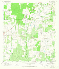
1964 · Ghost Hill
USGS Topo · 1:24,000
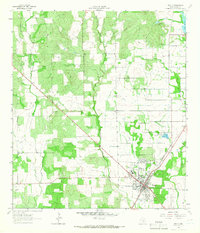
1964 · Devine
USGS Topo · 1:24,000