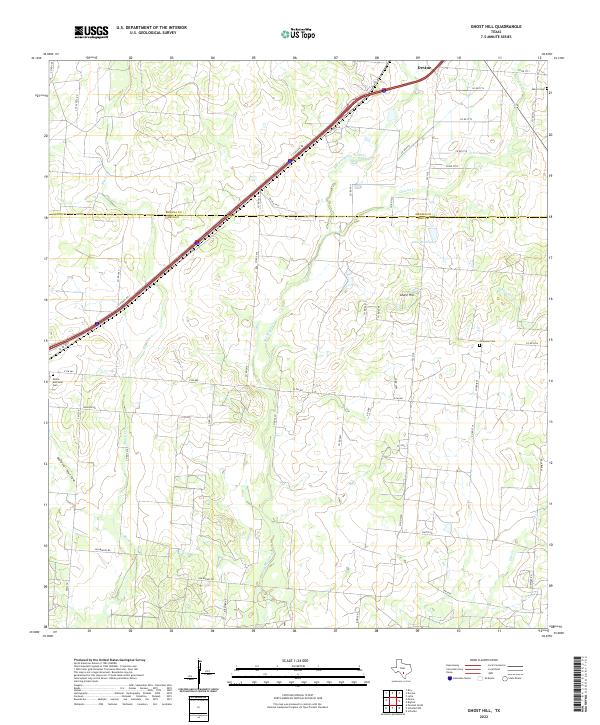
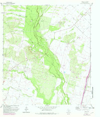
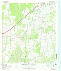
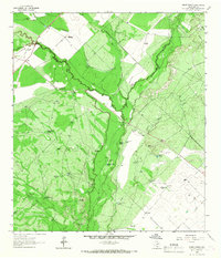
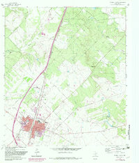
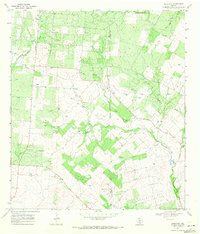
2022 Map of Ghost Hill
USGS Topo · Published 2022About this map
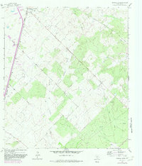
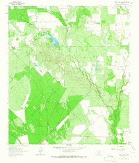
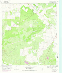
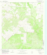
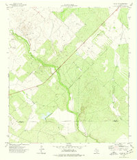
The south Texas scrubland north of Devine unfolds across a landscape marked by intermittent creek beds and the namesake Ghost Hill. This territory, straddling the Medina Co Frio Co line, is defined by a dense network of ranch and county roads that navigate the subtle drainages of San Miguel Cr and Black Cr. The presence of Moore Memorial Cem, Longview Cem, and Moore Cem indicates the long-standing family ranching heritage of this region, where small burial grounds often serve as the primary markers of historical settlement patterns.
Find a feature on this map
54 named features on this map. Tap any name to fly to it.
Don’t see what you’re looking for? This feature index may not catch every label — zoom into the map to look around manually.
Map Details
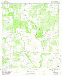
Editions of this 2022 Ghost Hill Map
This is the sole edition of this map. No revisions or reprints were ever made.
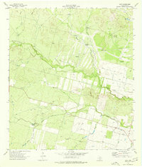
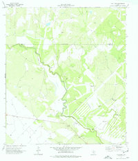
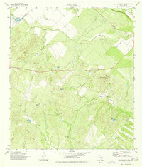
Historical Maps of Devine Through Time
39 maps found

1925 Pearsall 1-b
Frio County, TX
1925 Pearsall 1-c
Frio County, TX
1934 Schattel
Frio County, TX

1942 Divot
Frio County, TX
1956 Divot
Frio County, TX
1964 Derby
Frio County, TX
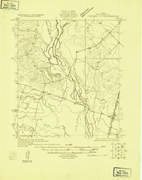
1964 Ghost Hill
Frio County, TX
1964 Halff Ranch
Frio County, TX
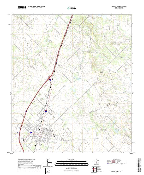
1964 Pearsall North
Frio County, TX
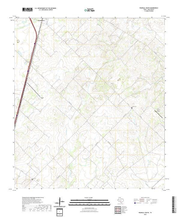
1964 Pearsall South
Frio County, TX
1964 Wilson Ranch
Frio County, TX
1968 Goldfinch
Frio County, TX
1968 Keystone Ranch
Frio County, TX
1968 Schattel
Frio County, TX
1968 Schattel NW
Frio County, TX
1969 Hindes
Frio County, TX
1969 Las Flores
Frio County, TX
1974 Dilley NE
Frio County, TX
1974 Divot
Frio County, TX
1974 Frio Town
Frio County, TX
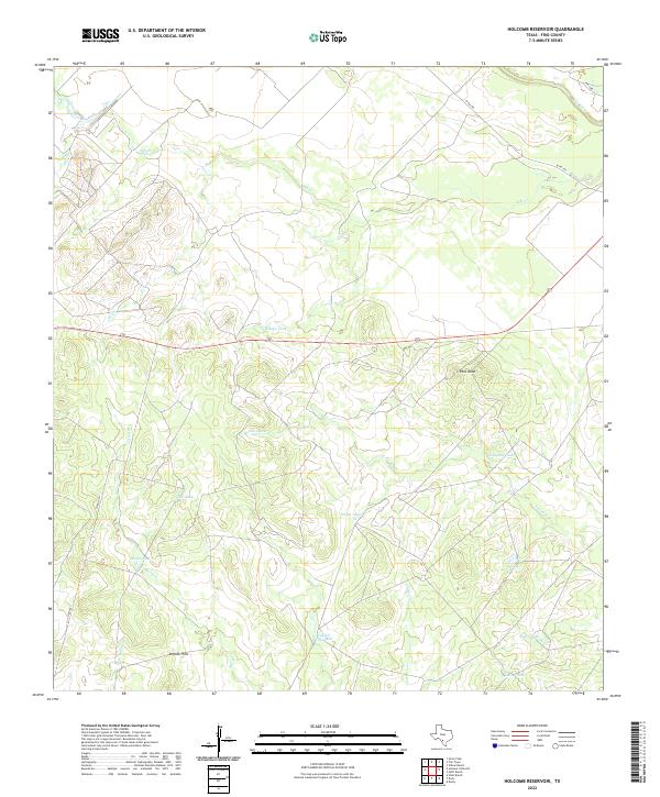
1974 Holcomb Reservoir
Frio County, TX
1974 Woodward NE
Frio County, TX
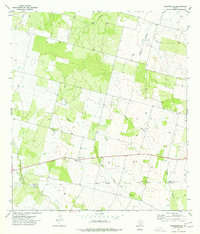
2022 Derby
Frio County, TX
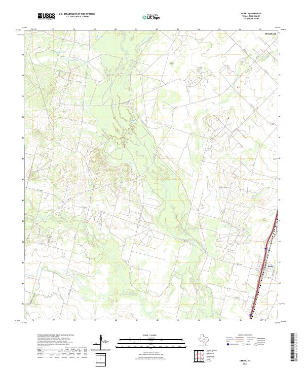
2022 Dilley NE
Frio County, TX
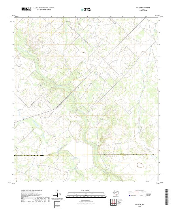
2022 Divot
Frio County, TX
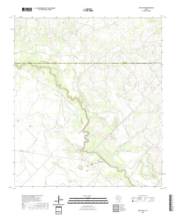
2022 Frio Town
Frio County, TX
2022 Ghost Hill
Frio County, TX
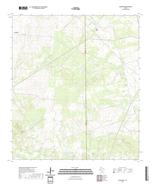
2022 Goldfinch
Frio County, TX
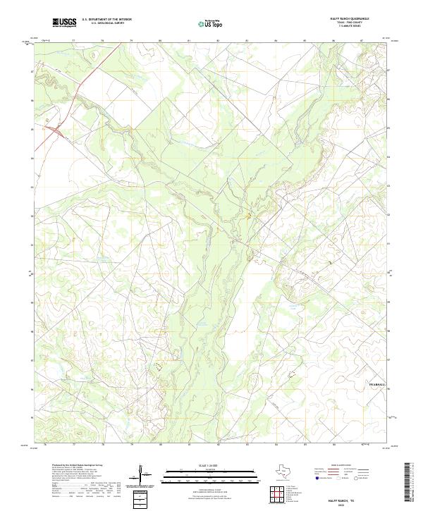
2022 Halff Ranch
Frio County, TX
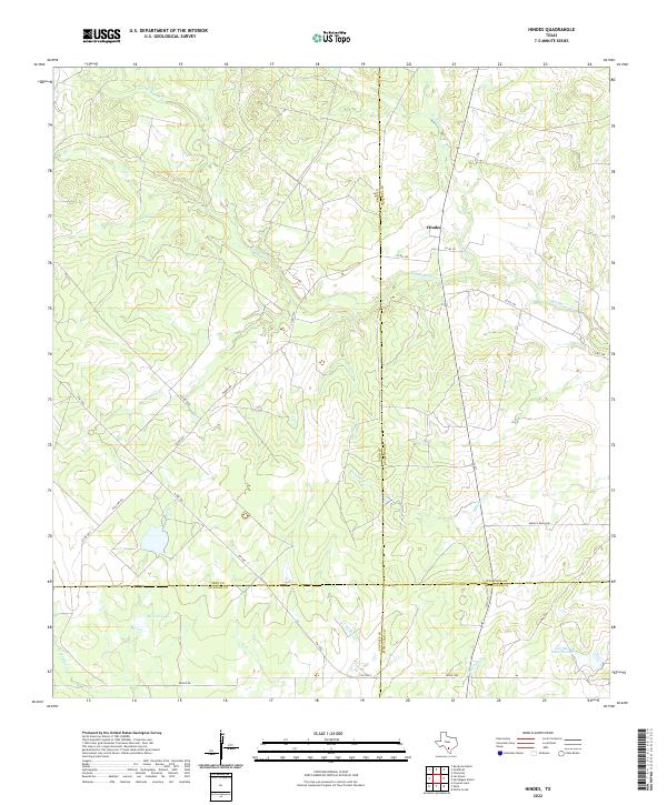
2022 Hindes
Frio County, TX
2022 Holcomb Reservoir
Frio County, TX
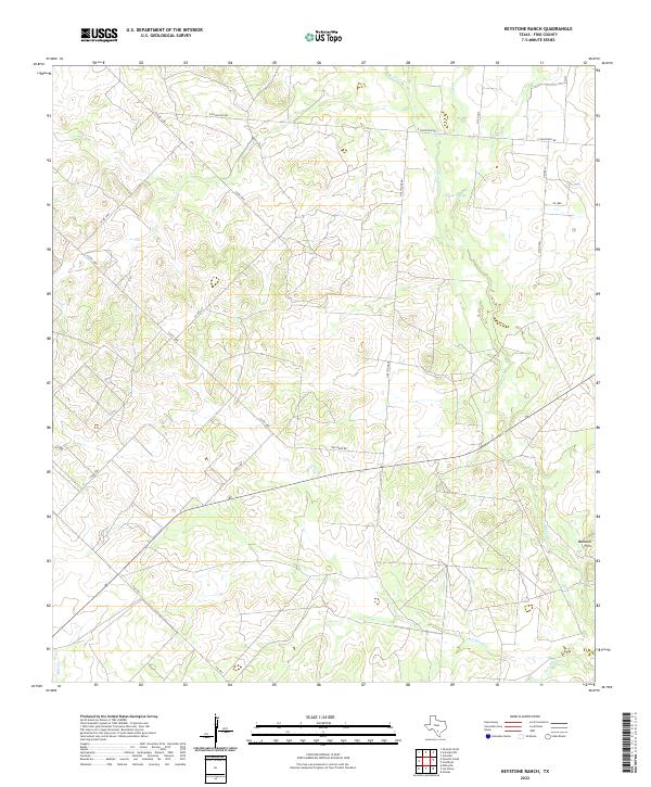
2022 Keystone Ranch
Frio County, TX

2022 Las Flores
Frio County, TX
2022 Pearsall North
Frio County, TX
2022 Pearsall South
Frio County, TX
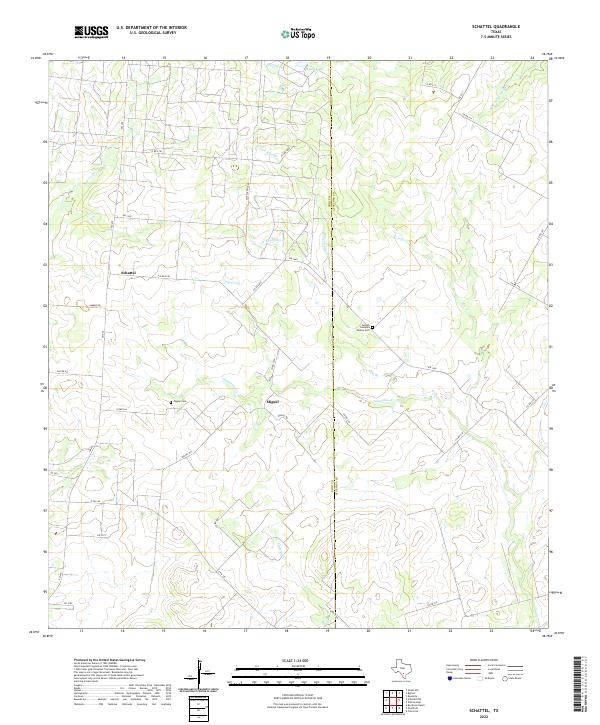
2022 Schattel
Frio County, TX
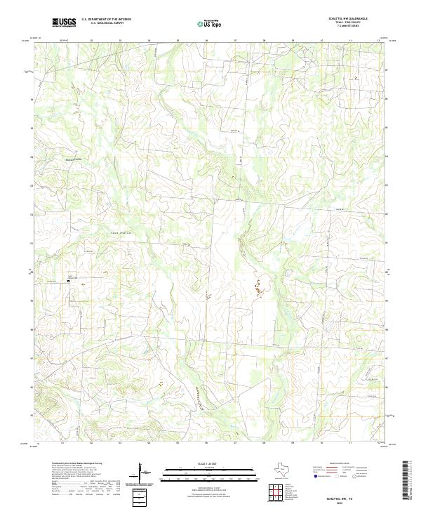
2022 Schattel NW
Frio County, TX
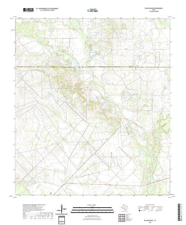
2022 Wilson Ranch
Frio County, TX
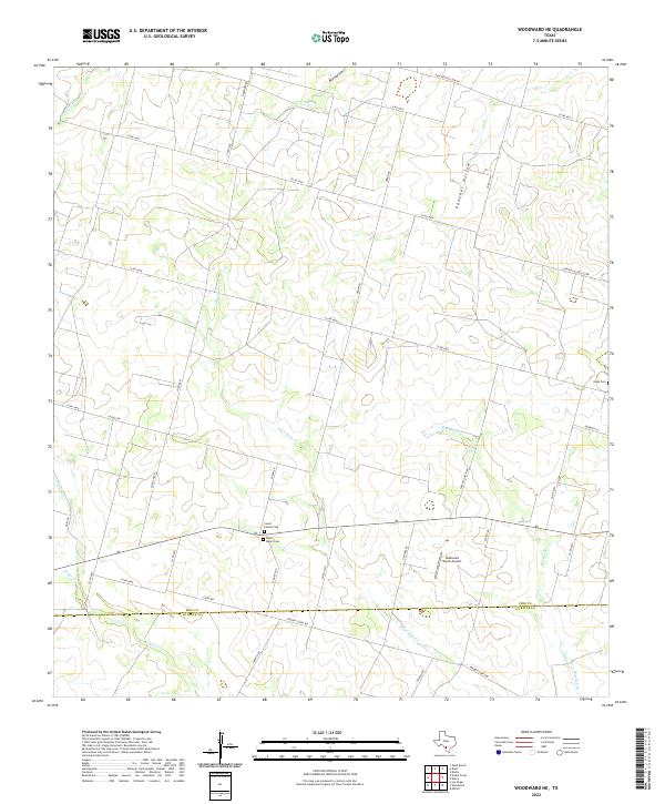
2022 Woodward NE
Frio County, TX