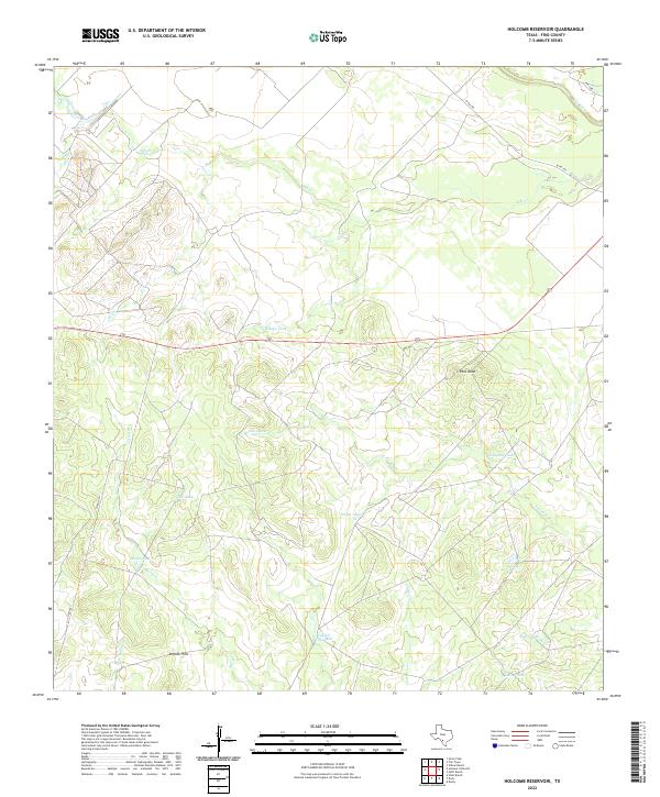
2022 Map of Holcomb Reservoir
USGS Topo · Published 2022About this map
Pilot Knob and the English Hills dominate this portion of Frio County, where a complex network of seasonal drainages and stock tanks defines the rural landscape. The topography is shaped by the winding courses of Elm Cr, Jack Cr, and Live Oak Cr, all feeding toward the Frio River in the northeast. This 2022 survey illustrates the vital importance of water management in South Texas ranching, documenting numerous named reservoirs and tanks such as Garden Tank, Tutiga Tank, and Llave Tank. Transportation is limited to arterial routes like W FM 140 and local connectors like Co RD 4757, reflecting a sparsely populated region dedicated to large-scale landholdings. Researchers can observe how modern land use still follows the natural contours of the creeks and hills that have long dictated movement through this brush country.
Find a feature on this map
23 named features on this map. Tap any name to fly to it.
Don’t see what you’re looking for? This feature index may not catch every label — zoom into the map to look around manually.
Map Details
Editions of this 2022 Holcomb Reservoir Map
This is the sole edition of this map. No revisions or reprints were ever made.
Other maps of this area

1925 · Pearsall 1-b
USGS Topo · 1:48,000

1925 · Pearsall 1-c
USGS Topo · 1:48,000

1927 · Pearsall
USGS Topo · 1:62,500

1928 · Frio Town
USGS Topo · 1:62,500

1942 · Divot
USGS Topo · 1:62,500

1953 · Crystal City
USGS Topo · 1:250,000

1954 · San Antonio
USGS Topo · 1:250,000

1955 · Crystal City
USGS Topo · 1:250,000

1956 · Divot
USGS Topo · 1:62,500

1957 · San Antonio
USGS Topo · 1:250,000