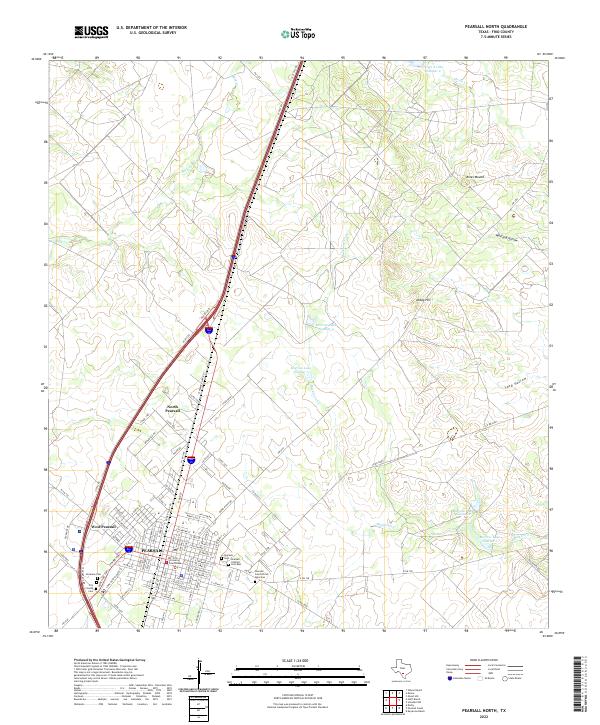
2022 Map of Pearsall North
USGS Topo · Published 2022About this map
Pearsall serves as the central hub of this South Texas landscape, defined by its role as the seat of local government at the Frio County Courthouse. The town is flanked by the distinct residential developments of North Pearsall and West Pearsall, while a significant complex of burial grounds including Pearsall Cem African American, Pearsall Catholic Cem East, and the Veterans Cem provides deep genealogical value for the region. Beyond the settlement, the terrain transitions into a system of drainage ways and elevated points like Jones Mound and Abbey Hill. Water resources are prominent throughout the brush country, with a series of reservoirs including Morrow Lake Number 1 through Morrow Lake Number 4 supporting the local ranching and agricultural operations that define the area's economy and land use patterns.
Find a feature on this map
89 named features on this map. Tap any name to fly to it.
Don’t see what you’re looking for? This feature index may not catch every label — zoom into the map to look around manually.
Map Details
Editions of this 2022 Pearsall North Map
This is the sole edition of this map. No revisions or reprints were ever made.
Other maps of this area

1925 · Pearsall 1-b
USGS Topo · 1:48,000

1925 · Pearsall 1-c
USGS Topo · 1:48,000

1927 · Pearsall
USGS Topo · 1:62,500

1934 · Schattel
USGS Topo · 1:62,500

1942 · Natalia
USGS Topo · 1:62,500

1953 · Crystal City
USGS Topo · 1:250,000

1954 · San Antonio
USGS Topo · 1:250,000

1955 · Crystal City
USGS Topo · 1:250,000

1957 · San Antonio
USGS Topo · 1:250,000

1961 · Crystal City
USGS Topo · 1:250,000
Featured Places
- Pearsall, TX
- North Pearsall, TX
- Pearsall East Colonia, TX
- Alta Vista Colonia, Pearsall
- Frio Heights Colonia, Pearsall