Old Maps of Big Valley, Texas for Academic Research
Study the evolution of Big Valley with 14 high-resolution historic maps. Whether you're teaching, researching, or modeling changes in land use, these maps provide essential visual documentation of urban, environmental, and geographic change.
- Analyze long-term change: Track patterns in development, transportation, and natural features.
- Ideal for environmental or urban studies: Support academic projects with primary historical map data.
- Use in the classroom or lab: Educators and researchers rely on these maps to bring historical context to life.
These maps are a powerful tool for teaching, research, and visualizing how Big Valley has changed over the decades.
Big Valley, TX maps
(14)- 1885 Map of San Saba
 1885 San Saba1885 Print · USGSCentral Texas in the late nineteenth century comes alive through this survey of the river valleys and high knobs. Genealogists and researchers can trace the early foundations of San Saba and Goldthwaite, or find forgotten locations like Regency and Bendy.
 - 1894 Map of San Saba
 1894 San Saba1894 Print · USGSCentral Texas in the late nineteenth century is defined here by the meeting of the San Saba River and the Colorado River. Researchers can trace the path of the Gulf Colorado and Santa Fe Railroad near Goldthwaite or locate early settlements like Richland Springs and Red Bluff.4 unique versions available
 - 1925 Map of San Saba 1-b
 1925 San Saba 1-b1925 Print · USGSMills and San Saba counties are shown during the mid-1920s as the Colorado River winds through a landscape of rural schools and crossings. Researchers can trace early community hubs like Big Valley Church, Ebony School, and the remote Goughenor Crossing.
 - 1928 Map of Goldthwaite
 1928 Goldthwaite1928 Print · USGSThe Colorado River snakes through the Mills and San Saba county line during the mid-twenties, a time of small schoolhouses and river fords. Genealogists can trace family landmarks like San Saba Peak, Big Valley Church, and the Rock Spring School.
 - 1948 Map of Goldthwaite, 1970 Print
 1948 Goldthwaite1970 Print · USGSMills and San Saba Counties come to life in the late 1940s as the railroad and the Colorado River define the local economy. Researchers can trace ancestral footprints at McMillan Cem, Rock Spring School, or the remote Big Valley Church.
 - 1950 Map of Goldthwaite
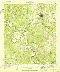 1950 Goldthwaite1950 Print · USGSGoldthwaite and the surrounding ranchlands of Mills County are shown here at mid-century, following the winding meanders of the Colorado River. Researchers can locate several rural schools and churches like Flat Rock School and Lower Valley Church, or trace the path of the Gulf Colorado and Santa Fe Railway.
 - 1954 Map of Brownwood, 1955 Print
 1954 Brownwood1955 Print · USGSCentral Texas in the early fifties shows a landscape of rail-linked cattle towns and winding river valleys before modern highway expansion. Genealogists and historians can trace family-named peaks and vanished rail stops like Trickham, Santa Anna, and the Brady Mountains.3 unique versions available
 - 1980 Map of Big Valley North
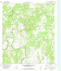 1980 Big Valley North1980 Print · USGSThe Colorado River and Pecan Bayou come together along the Mills and San Saba county line during the late 1970s. Genealogists can trace deep local roots at rural sites like Big Valley Cem, Estep Cem, and the Big Valley Ch.2 unique versions available
 - 1985 Map of San Saba
 1985 San Saba1985 Print · USGSCentral Texas in the mid-eighties was a landscape of river-valley ranching and quiet railroad towns. Researchers can trace family history through sites like San Saba Cem, follow the Atchison Topeka and Santa Fe line, or explore landmarks near Pecan Bayou.2 unique versions available
 - 2010 Map of Big Valley North, 2010 Print
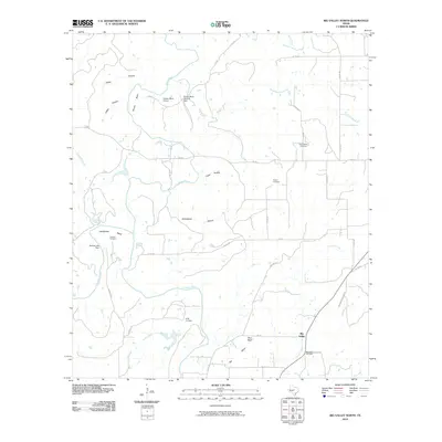 2010 Big Valley North2010 Print · USGSBig Valley and the surrounding Mills County ranch lands are captured here in the early twenty-first century. Genealogists and local historians can locate several rural burial sites, including Rock Spring Cemetery, Catclaw Cemetery, and the community of Big Valley.
 - 2012 Map of Big Valley North, 2012 Print
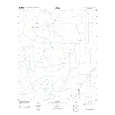 2012 Big Valley North2012 Print · USGSCovers Big Valley, including Mills County, San Saba County, and other nearby areas
 - 2016 Map of Big Valley North, 2016 Print
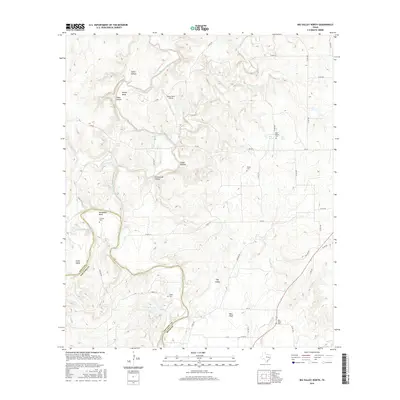 2016 Big Valley North2016 Print · USGSCovers Big Valley, including Mills County, San Saba County, and other nearby areas
 - 2019 Map of Big Valley North, 2019 Print
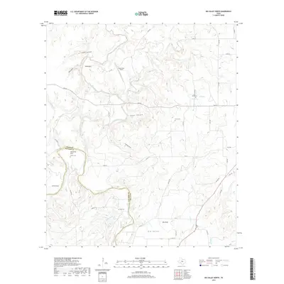 2019 Big Valley North2019 Print · USGSCovers Big Valley, including Mills County, San Saba County, and other nearby areas
 - 2022 Map of Big Valley North, 2022 Print
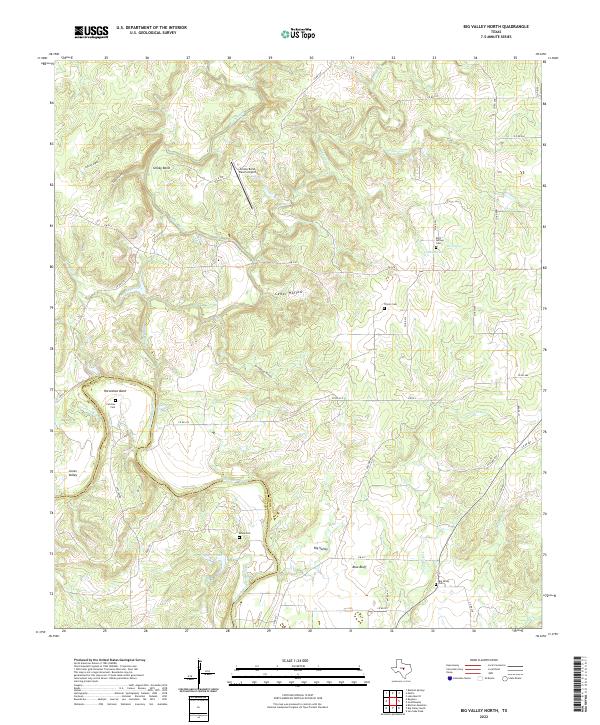 2022 Big Valley North2022 Print · USGSMills and San Saba counties appear here at the confluence of the Colorado River and Pecan Bayou in Central Texas. Genealogists and local historians can locate several rural burial grounds including Estep Cem, Traylor Cem, and the old settlement at Rock Springs.
End of results
Showing maps 1-14 of 14
Top cities near Big Valley
Frequently asked questions
- What are the different types of historical maps available for Big Valley?
- What is the oldest map of Big Valley?
- Where can I purchase historical maps of Big Valley for my home or office?
- Where can I download high-res historical maps of Big Valley?
- Are there historical topographic maps available for Big Valley?
- Is there historical aerial imagery available for Big Valley?
- Where are historical maps of Big Valley sourced from?