2000s (21st Century) Maps of Mineral Wells, Texas
Explore 15 historic maps of Mineral Wells from the 2000s (21st Century). These maps offer a rare glimpse into what life looked like during the 2000s — showing old roads, neighborhoods, homes, and landmarks that have changed or disappeared over time.
Whether you're researching your family's past, planning a metal detecting trip, or studying how Mineral Wells's landscape evolved across the 2000s, these high-resolution maps are a powerful tool for exploring the history of this region.
- Focus on a specific era: All maps on this page are from the 2000s, giving you a focused view of this time period.
- See what’s changed: Compare century-old streets, trails, and buildings to today's modern landscape using overlays and satellite layers.
- Research with precision: Use these maps for genealogy, historical research, land use analysis, or educational projects.
- View, download, or print: Maps are fully viewable online in high resolution, and can be downloaded or printed for your own records.
Start exploring Mineral Wells's history through authentic maps from the 2000s. This is your window into the past.
Mineral Wells, TX maps
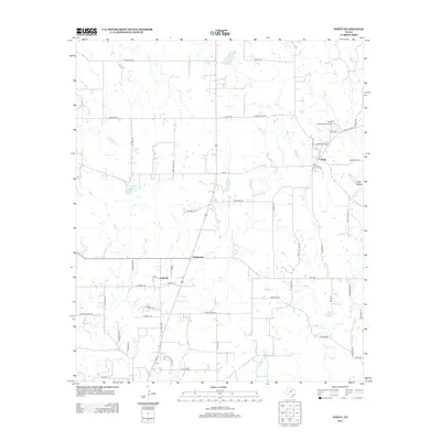
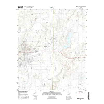
(15)- 2010 Map of Mineral Wells East, 2010 Print
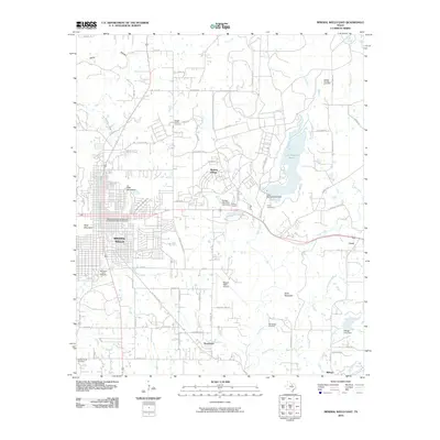 2010 Mineral Wells East2010 Print · USGSCovers Mineral Wells, including Millsap, Cool, and other nearby areas
 - 2010 Map of Whitt, 2010 Print
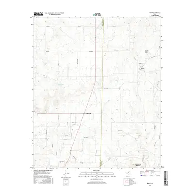
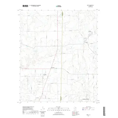
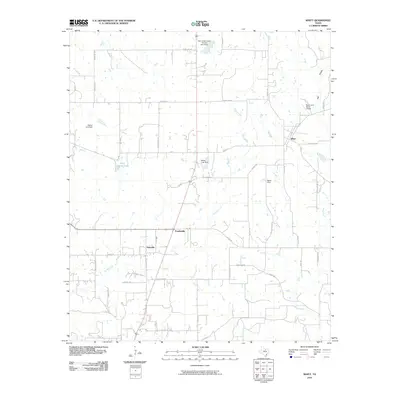 2010 Whitt2010 Print · USGSCovers Mineral Wells, including Whitt, Peadenville, and other nearby areas
 - 2010 Map of Mineral Wells West, 2010 Print
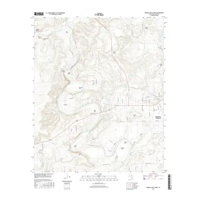
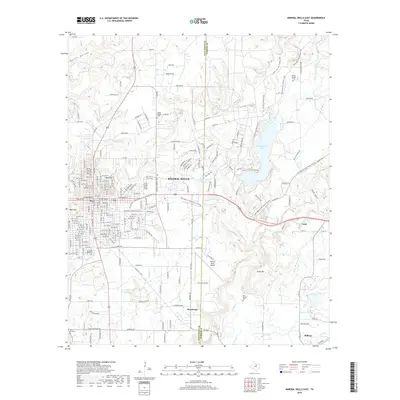
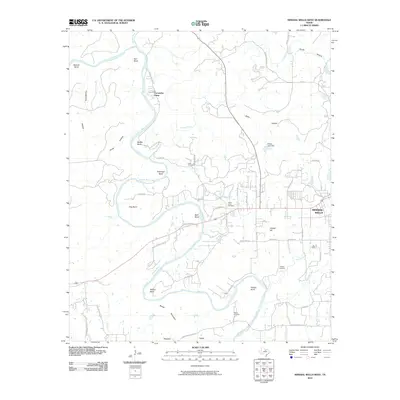 2010 Mineral Wells West2010 Print · USGSCovers Mineral Wells, including Coronados Camp, Palo Pinto County, and other nearby areas
 - 2012 Map of Mineral Wells West, 2012 Print
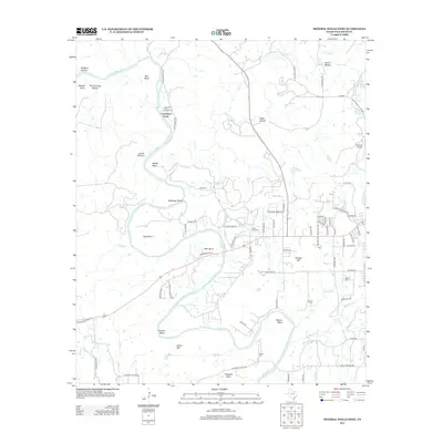 2012 Mineral Wells West2012 Print · USGSCovers Mineral Wells, including Coronados Camp, Palo Pinto County, and other nearby areas
 - 2012 Map of Whitt, 2012 Print
 2012 Whitt2012 Print · USGSCovers Mineral Wells, including Whitt, Peadenville, and other nearby areas
 - 2012 Map of Mineral Wells East, 2012 Print
 2012 Mineral Wells East2012 Print · USGSCovers Mineral Wells, including Millsap, Cool, and other nearby areas
 - 2016 Map of Mineral Wells West, 2016 Print
 2016 Mineral Wells West2016 Print · USGSCovers Mineral Wells, including Coronados Camp, Palo Pinto County, and other nearby areas
 - 2016 Map of Whitt, 2016 Print
 2016 Whitt2016 Print · USGSCovers Mineral Wells, including Whitt, Peadenville, and other nearby areas
 - 2016 Map of Mineral Wells East, 2016 Print
 2016 Mineral Wells East2016 Print · USGSCovers Mineral Wells, including Millsap, Cool, and other nearby areas
 - 2019 Map of Whitt, 2019 Print
 2019 Whitt2019 Print · USGSCovers Mineral Wells, including Whitt, Peadenville, and other nearby areas
 - 2019 Map of Mineral Wells East, 2019 Print
 2019 Mineral Wells East2019 Print · USGSCovers Mineral Wells, including Millsap, Cool, and other nearby areas
 - 2019 Map of Mineral Wells West, 2019 Print
 2019 Mineral Wells West2019 Print · USGSCovers Mineral Wells, including Coronados Camp, Palo Pinto County, and other nearby areas
 - 2022 Map of Mineral Wells West, 2022 Print
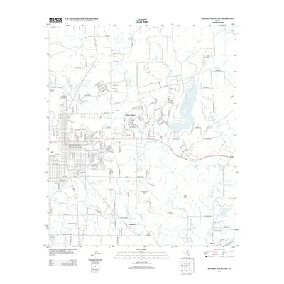
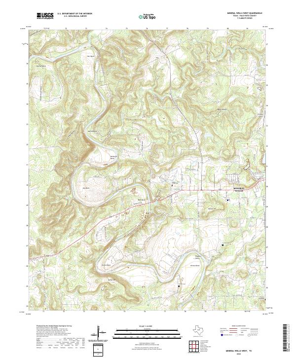 2022 Mineral Wells West2022 Print · USGSThe Brazos River valley near Mineral Wells reveals a landscape of winding river bends and rural settlements in the early 2020s. Genealogists can locate several historic burial grounds like Indian Creek Cem and Griffin Cem among the hills.
 - 2022 Map of Whitt, 2022 Print
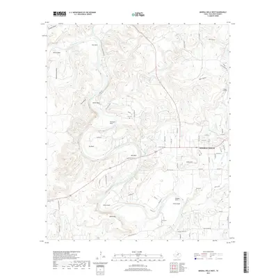
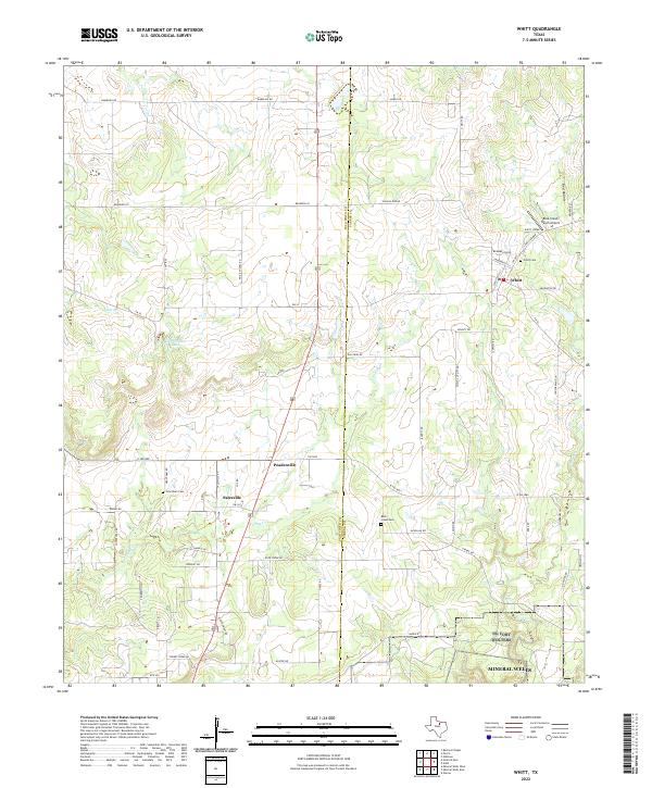 2022 Whitt2022 Print · USGSPalo Pinto and Parker counties meet in this 2022 survey of North Texas ranch land and rural outposts. Local historians can trace family roots at Whitt Cem and Grantham Cem or explore the scattered settlements of Whitt and Salesville.
 - 2022 Map of Mineral Wells East, 2022 Print
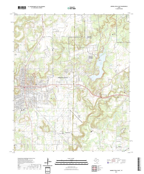 2022 Mineral Wells East2022 Print · USGSPalo Pinto and Parker counties meet in this 2022 survey of the area surrounding the Mineral Wells community. Genealogists can trace family burial sites at Staggs Prairie Cem, Sturdivant Cem, and the Richard Underwood Gravesite.
End of results
Showing maps 1-15 of 15
Top cities near Mineral Wells
- Graford historical maps
- Millsap historical maps
- Perrin historical maps
- Palo Pinto historical maps
- Cool historical maps
Top neighborhoods of Mineral Wells
Frequently asked questions
- What are the different types of historical maps available for Mineral Wells?
- What is the oldest map of Mineral Wells?
- Where can I purchase historical maps of Mineral Wells for my home or office?
- Where can I download high-res historical maps of Mineral Wells?
- Are there historical topographic maps available for Mineral Wells?
- Is there historical aerial imagery available for Mineral Wells?
- Where are historical maps of Mineral Wells sourced from?